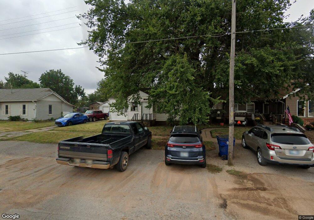
411 W Euclid Ave Waukomis, OK 73773
Estimated Value: $73,630 - $94,000
1
Bed
1
Bath
912
Sq Ft
$91/Sq Ft
Est. Value
About This Home
This home is located at 411 W Euclid Ave, Waukomis, OK 73773 and is currently estimated at $83,158, approximately $91 per square foot. 411 W Euclid Ave is a home located in Garfield County with nearby schools including Waukomis Elementary School and Waukomis High School.
Ownership History
Date
Name
Owned For
Owner Type
Purchase Details
Closed on
Aug 23, 2024
Sold by
Page Rebecca A
Bought by
Kruitbosch Lukis Postier and Postier Breanna J
Current Estimated Value
Purchase Details
Closed on
Nov 22, 2022
Sold by
Page Rebecca A
Bought by
Kruitbosch Lukis Postier
Purchase Details
Closed on
Apr 25, 2019
Sold by
Sholin James R
Bought by
Sweet Frank H and Page Rebecca A
Purchase Details
Closed on
Apr 4, 2001
Sold by
Whitacre Suzanne Kay
Bought by
Sholin James R
Create a Home Valuation Report for This Property
The Home Valuation Report is an in-depth analysis detailing your home's value as well as a comparison with similar homes in the area
Home Values in the Area
Average Home Value in this Area
Purchase History
| Date | Buyer | Sale Price | Title Company |
|---|---|---|---|
| Kruitbosch Lukis Postier | $20,000 | None Listed On Document | |
| Kruitbosch Lukis Postier | $20,000 | -- | |
| Sweet Frank H | $18,500 | None Available | |
| Sholin James R | $25,000 | -- |
Source: Public Records
Tax History Compared to Growth
Tax History
| Year | Tax Paid | Tax Assessment Tax Assessment Total Assessment is a certain percentage of the fair market value that is determined by local assessors to be the total taxable value of land and additions on the property. | Land | Improvement |
|---|---|---|---|---|
| 2024 | $506 | $4,845 | $1,446 | $3,399 |
| 2023 | $506 | $4,845 | $1,446 | $3,399 |
| 2022 | $567 | $6,342 | $1,446 | $4,896 |
| 2021 | $575 | $3,838 | $771 | $3,067 |
| 2020 | $254 | $3,726 | $742 | $2,984 |
| 2019 | $324 | $3,617 | $1,009 | $2,608 |
| 2018 | $318 | $3,446 | $1,013 | $2,433 |
| 2017 | $300 | $3,281 | $969 | $2,312 |
| 2016 | $284 | $3,125 | $281 | $2,844 |
| 2015 | $258 | $3,124 | $281 | $2,843 |
| 2014 | $258 | $3,124 | $281 | $2,843 |
Source: Public Records
Map
Nearby Homes
- 616 W Euclid Ave
- 220 N Main St
- 202 Westview St
- 228 S 2nd St
- 10112 U S 81
- 118 E Skeleton Rd
- 301 E0470 Rd
- 1183 E Skeleton Rd
- 1182 E Skeleton Rd
- 4205 S Van Buren St
- 2802 Paradise Ln
- 0 S 16th St Unit Tract C 22207085
- 0 S 16th St Unit Tract D 22207086
- 0 S 16th St Unit Tract A 22194573
- 0 S 16th St Unit B 22194572
- 2001 W Southgate Rd
- 0 S 30th St Unit Tract I 22207848
- 0 S 30th St Unit Tract F 22207846
- 0 S 30th St Unit Tract H 22207847
- 0 S 30th St Unit Tract G 22207845
- 417 W Euclid Ave
- 104 S 4th St
- 421 W Euclid Ave
- 410 W King Ave
- 122 S 4th St
- 402 W Euclid Ave
- 420 W King Ave
- 321 W Euclid Ave
- 420 W Euclid Ave
- 106 S 4th St
- 322 W King Ave
- 507 W Euclid Ave
- 322 W Euclid Ave
- 313 W Euclid Ave
- 320 W King Ave
- 108 S 4th St
- 318 W Euclid Ave
- 411 W King Ave
- 409 W King Ave
- 419 W King Ave