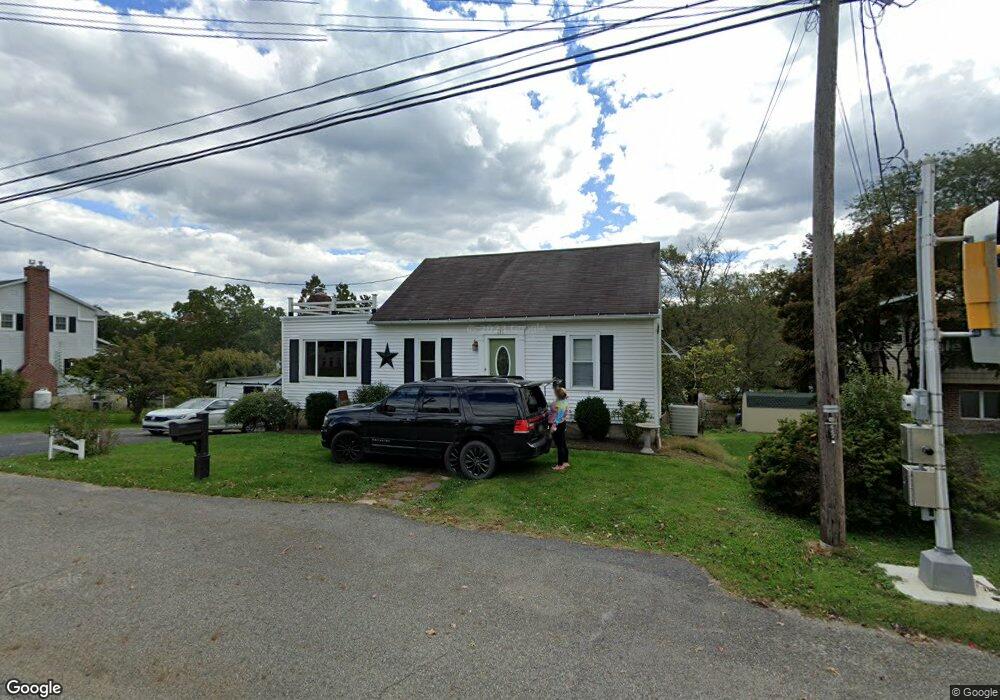
411 W High St New Bloomfield, PA 17068
Estimated Value: $191,807 - $239,000
--
Bed
--
Bath
1,344
Sq Ft
$165/Sq Ft
Est. Value
About This Home
This home is located at 411 W High St, New Bloomfield, PA 17068 and is currently estimated at $221,702, approximately $164 per square foot. 411 W High St is a home located in Perry County with nearby schools including West Perry Middle School and West Perry Senior High School.
Ownership History
Date
Name
Owned For
Owner Type
Purchase Details
Closed on
May 1, 2018
Sold by
Stacknick Matthew C and Stacknick Renee
Bought by
Wagner Kaitlynne and Rozzi Anthony
Current Estimated Value
Home Financials for this Owner
Home Financials are based on the most recent Mortgage that was taken out on this home.
Original Mortgage
$166,565
Outstanding Balance
$143,583
Interest Rate
4.45%
Mortgage Type
New Conventional
Estimated Equity
$78,119
Purchase Details
Closed on
Apr 28, 2011
Sold by
Stoops Donald C and Affinito Sally S
Bought by
Stacknick Matthew C
Home Financials for this Owner
Home Financials are based on the most recent Mortgage that was taken out on this home.
Original Mortgage
$125,906
Interest Rate
4.76%
Mortgage Type
Purchase Money Mortgage
Create a Home Valuation Report for This Property
The Home Valuation Report is an in-depth analysis detailing your home's value as well as a comparison with similar homes in the area
Home Values in the Area
Average Home Value in this Area
Purchase History
| Date | Buyer | Sale Price | Title Company |
|---|---|---|---|
| Wagner Kaitlynne | $164,900 | None Available | |
| Stacknick Matthew C | $121,500 | None Available |
Source: Public Records
Mortgage History
| Date | Status | Borrower | Loan Amount |
|---|---|---|---|
| Open | Wagner Kaitlynne | $166,565 | |
| Previous Owner | Stacknick Matthew C | $125,906 |
Source: Public Records
Tax History Compared to Growth
Tax History
| Year | Tax Paid | Tax Assessment Tax Assessment Total Assessment is a certain percentage of the fair market value that is determined by local assessors to be the total taxable value of land and additions on the property. | Land | Improvement |
|---|---|---|---|---|
| 2025 | $3,128 | $129,400 | $31,800 | $97,600 |
| 2024 | $3,040 | $129,400 | $31,800 | $97,600 |
| 2023 | $2,818 | $129,400 | $31,800 | $97,600 |
| 2022 | $2,739 | $129,400 | $31,800 | $97,600 |
| 2021 | $2,671 | $129,400 | $31,800 | $97,600 |
| 2020 | $2,454 | $129,400 | $31,800 | $97,600 |
| 2019 | $2,405 | $129,400 | $31,800 | $97,600 |
| 2018 | $2,356 | $129,400 | $31,800 | $97,600 |
| 2017 | $2,265 | $129,400 | $31,800 | $97,600 |
| 2016 | $1,250 | $129,400 | $31,800 | $97,600 |
| 2015 | $1,250 | $129,400 | $31,800 | $97,600 |
| 2014 | $2,070 | $129,400 | $31,800 | $97,600 |
Source: Public Records
Map
Nearby Homes
- 235 W Main St
- 20 W Main St
- 3231 Cold Storage Rd
- 302 S Carlisle St
- 37 Meadowview Dr
- 110 Watson Ln
- Lot 5 Clouser Hollow Rd
- 57 Metz Ln
- 40 Ridge Rd
- 1 Juniata Furnace Ln
- 7494 Spring Rd
- 2751 Middle Ridge Rd
- 4020 Mannsville Rd
- 98 Fallen Cabin Ln
- 1929 Dunkleberger Rd
- 139 Oakwoods Dr
- 1640 Dunkleberger Rd
- 1934 Shermans Valley Rd
- 371 Sleepy Hollow Rd
- 1986 Newport Rd