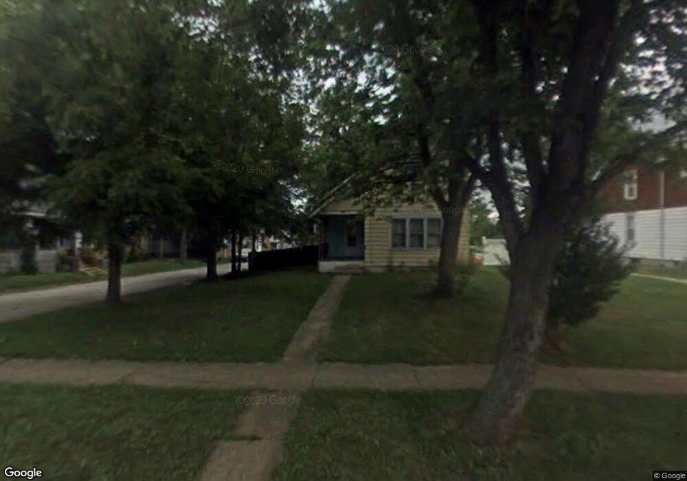
411 W Main St Alliance, OH 44601
Estimated Value: $25,000 - $112,000
--
Bed
1
Bath
--
Sq Ft
7,013
Sq Ft Lot
About This Home
This home is located at 411 W Main St, Alliance, OH 44601 and is currently estimated at $78,000. 411 W Main St is a home located in Stark County with nearby schools including Alliance Early Learning School, Alliance Intermediate School at Northside, and Alliance Middle School.
Ownership History
Date
Name
Owned For
Owner Type
Purchase Details
Closed on
Jun 27, 2025
Sold by
Alliance Area Habitat For Humanity Inc
Bought by
Marshall Joshua
Current Estimated Value
Purchase Details
Closed on
Apr 20, 2017
Sold by
Dalesandro Jerry A
Bought by
Alliance Area Habitat For Humanity Inc
Purchase Details
Closed on
Mar 12, 2003
Sold by
Reese James A and Reese Barbara
Bought by
Dalesandro Jerry A
Home Financials for this Owner
Home Financials are based on the most recent Mortgage that was taken out on this home.
Original Mortgage
$30,400
Interest Rate
6%
Mortgage Type
Purchase Money Mortgage
Create a Home Valuation Report for This Property
The Home Valuation Report is an in-depth analysis detailing your home's value as well as a comparison with similar homes in the area
Home Values in the Area
Average Home Value in this Area
Purchase History
| Date | Buyer | Sale Price | Title Company |
|---|---|---|---|
| Marshall Joshua | $4,000 | None Listed On Document | |
| Alliance Area Habitat For Humanity Inc | -- | None Available | |
| Dalesandro Jerry A | $32,000 | Union Title Co |
Source: Public Records
Mortgage History
| Date | Status | Borrower | Loan Amount |
|---|---|---|---|
| Previous Owner | Dalesandro Jerry A | $30,400 |
Source: Public Records
Tax History Compared to Growth
Tax History
| Year | Tax Paid | Tax Assessment Tax Assessment Total Assessment is a certain percentage of the fair market value that is determined by local assessors to be the total taxable value of land and additions on the property. | Land | Improvement |
|---|---|---|---|---|
| 2025 | $63 | $2,800 | $2,800 | -- |
| 2024 | -- | $2,800 | $2,800 | -- |
| 2023 | $114 | $2,770 | $2,770 | -- |
| 2022 | $115 | $2,770 | $2,770 | $0 |
| 2021 | $115 | $2,770 | $2,770 | $0 |
| 2020 | $106 | $2,380 | $2,380 | $0 |
| 2019 | $104 | $2,420 | $2,420 | $0 |
| 2018 | $107 | $2,420 | $2,420 | $0 |
Source: Public Records
Map
Nearby Homes
- 345 W Market St
- 329 1/2 W Main St
- 511 W Ely St
- 163 W Market St
- 132 S Haines Ave
- 645 W Summit St
- 725 W Summit St
- 427 S Union Ave
- 734 Parkway Blvd
- 432 Johnson Ave
- 140 W Summit St
- 710 N Freedom Ave
- 608 N Freedom Ave
- 124 E Wayne St
- 896 Parkway Blvd
- 807 S Union Ave
- 361 E Main St
- 356 E Broadway St
- 000 Meadowbrook Ave
- 738 Kingsway St