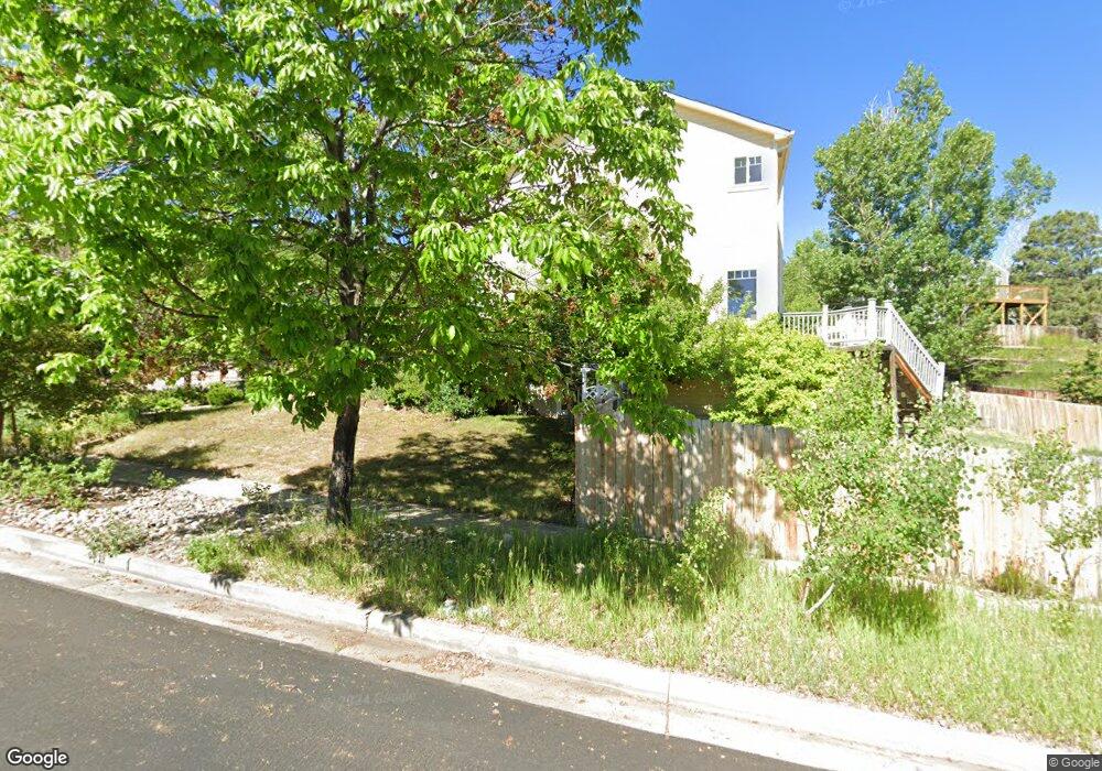
4110 Madrone Way Colorado Springs, CO 80918
Garden Ranch NeighborhoodEstimated Value: $464,706 - $570,000
3
Beds
3
Baths
1,890
Sq Ft
$267/Sq Ft
Est. Value
About This Home
This home is located at 4110 Madrone Way, Colorado Springs, CO 80918 and is currently estimated at $505,177, approximately $267 per square foot. 4110 Madrone Way is a home located in El Paso County with nearby schools including Audubon Elementary School, Mann Middle School, and Coronado High School.
Ownership History
Date
Name
Owned For
Owner Type
Purchase Details
Closed on
Mar 3, 1994
Sold by
Chartercraft Homes Inc
Bought by
Byrd Clinton E and Byrd Sherri A
Current Estimated Value
Home Financials for this Owner
Home Financials are based on the most recent Mortgage that was taken out on this home.
Original Mortgage
$110,650
Interest Rate
6.95%
Mortgage Type
FHA
Purchase Details
Closed on
Oct 15, 1993
Sold by
Denton Nancy L
Bought by
Chartercraft Homes Inc
Home Financials for this Owner
Home Financials are based on the most recent Mortgage that was taken out on this home.
Original Mortgage
$97,600
Interest Rate
6.79%
Purchase Details
Closed on
Dec 28, 1990
Bought by
Byrd Clinton E and Byrd Sherri A
Create a Home Valuation Report for This Property
The Home Valuation Report is an in-depth analysis detailing your home's value as well as a comparison with similar homes in the area
Home Values in the Area
Average Home Value in this Area
Purchase History
| Date | Buyer | Sale Price | Title Company |
|---|---|---|---|
| Byrd Clinton E | $115,454 | -- | |
| Chartercraft Homes Inc | -- | -- | |
| Chatercraft Homes Inc | -- | -- | |
| Denton Nancy L | -- | -- | |
| Byrd Clinton E | $190,000 | -- |
Source: Public Records
Mortgage History
| Date | Status | Borrower | Loan Amount |
|---|---|---|---|
| Previous Owner | Byrd Clinton E | $110,650 | |
| Previous Owner | Denton Nancy L | $97,600 |
Source: Public Records
Tax History Compared to Growth
Tax History
| Year | Tax Paid | Tax Assessment Tax Assessment Total Assessment is a certain percentage of the fair market value that is determined by local assessors to be the total taxable value of land and additions on the property. | Land | Improvement |
|---|---|---|---|---|
| 2025 | $1,628 | $32,200 | -- | -- |
| 2024 | $1,512 | $33,730 | $5,280 | $28,450 |
| 2023 | $1,512 | $33,730 | $5,280 | $28,450 |
| 2022 | $1,311 | $23,420 | $3,960 | $19,460 |
| 2021 | $1,422 | $24,100 | $4,080 | $20,020 |
| 2020 | $1,446 | $21,300 | $3,580 | $17,720 |
| 2019 | $1,438 | $21,300 | $3,580 | $17,720 |
| 2018 | $1,212 | $16,520 | $2,740 | $13,780 |
| 2017 | $1,148 | $16,520 | $2,740 | $13,780 |
| 2016 | $913 | $15,750 | $2,870 | $12,880 |
| 2015 | $910 | $15,750 | $2,870 | $12,880 |
| 2014 | $930 | $15,450 | $2,870 | $12,580 |
Source: Public Records
Map
Nearby Homes
- 1826 Palm Dr
- 2140 Palm Dr
- 3821 Meadow Ln
- 2310 Royal Palm Dr
- 1424 Columbine Rd
- 2022 Palm Dr
- 2028 Palm Dr
- 2328 Troy Ct Unit 2328
- 2355 Troy Ct
- 4410 Campus Bluffs Ct
- 1614 Westmoreland Rd
- 2039 Palm Dr
- 2131 Troy Ct Unit 2131
- 1411 Acacia Dr
- 1415 Acacia Dr
- 1319 Acacia Dr
- 2430 Blazek Loop
- 1212 Westmoreland Rd
- 3605 Windsor Ave
- 4295 Ridgecrest Dr