4110 Patuxent Ct Dunkirk, MD 20754
Estimated Value: $1,027,000 - $1,359,000
Studio
4
Baths
4,282
Sq Ft
$275/Sq Ft
Est. Value
About This Home
This home is located at 4110 Patuxent Ct, Dunkirk, MD 20754 and is currently estimated at $1,177,060, approximately $274 per square foot. 4110 Patuxent Ct is a home located in Calvert County with nearby schools including Mount Harmony Elementary School, Northern Middle School, and Northern High School.
Ownership History
Date
Name
Owned For
Owner Type
Purchase Details
Closed on
Feb 25, 2022
Sold by
Logan Richard E
Bought by
Logan Family Trust
Current Estimated Value
Purchase Details
Closed on
Mar 5, 2001
Sold by
Logan Richard E
Bought by
Logan Richard E and Logan Laura Peruzzi
Purchase Details
Closed on
Jan 19, 2000
Sold by
Barnes Olive Y and Barnes Garry E
Bought by
Logan Richard E and Peruzzi Laura
Create a Home Valuation Report for This Property
The Home Valuation Report is an in-depth analysis detailing your home's value as well as a comparison with similar homes in the area
Home Values in the Area
Average Home Value in this Area
Purchase History
We collect this data history from publicly available records. To have your information removed, we recommend requesting removal directly through your county’s website.
| Date | Buyer | Sale Price | Title Company |
|---|---|---|---|
| Logan Family Trust | $975,000 | Ritter Elder Law & Estate Plan | |
| Logan Richard E | -- | -- | |
| Logan Richard E | $275,000 | -- |
Source: Public Records
Mortgage History
We collect this data history from publicly available records. To have your information removed, we recommend requesting removal directly through your county’s website.
| Date | Status | Borrower | Loan Amount |
|---|---|---|---|
| Closed | Logan Richard E | -- |
Source: Public Records
Tax History
| Year | Tax Paid | Tax Assessment Tax Assessment Total Assessment is a certain percentage of the fair market value that is determined by local assessors to be the total taxable value of land and additions on the property. | Land | Improvement |
|---|---|---|---|---|
| 2025 | $12,417 | $1,130,200 | $361,000 | $769,200 |
| 2024 | $11,810 | $1,074,400 | $0 | $0 |
| 2023 | $10,797 | $1,018,600 | $0 | $0 |
| 2022 | $10,215 | $962,800 | $361,000 | $601,800 |
| 2021 | $9,685 | $935,433 | $0 | $0 |
| 2020 | $9,685 | $908,067 | $0 | $0 |
| 2019 | $9,441 | $880,700 | $361,000 | $519,700 |
| 2018 | $9,428 | $880,700 | $361,000 | $519,700 |
| 2017 | $9,557 | $880,700 | $0 | $0 |
| 2016 | -- | $889,100 | $0 | $0 |
| 2015 | $10,573 | $889,100 | $0 | $0 |
| 2014 | $10,573 | $889,100 | $0 | $0 |
Source: Public Records
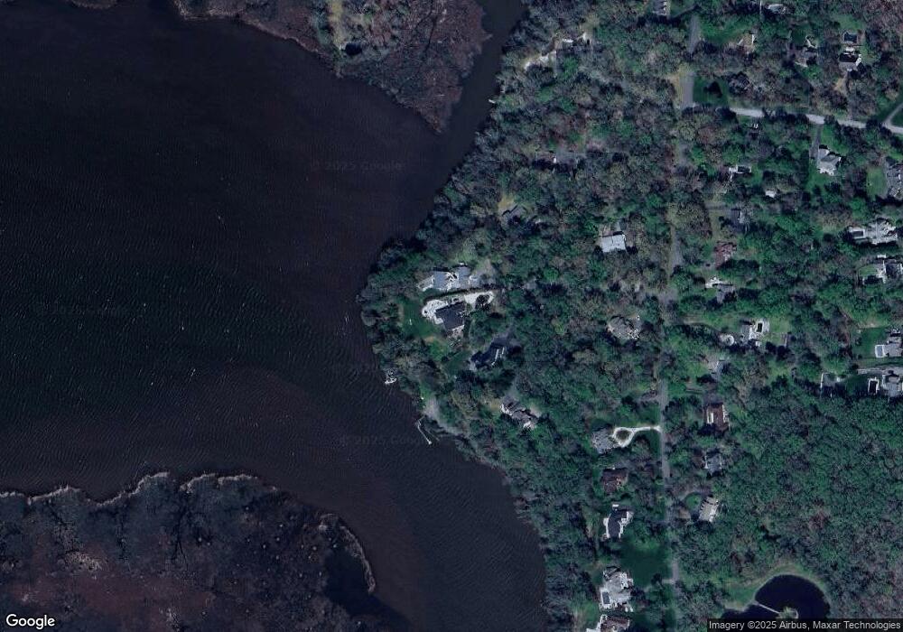
Map
Nearby Homes
- 12124 Palisades Dr
- 3901 Lakeside Ct
- 3740 Larkview Ct
- 6380 Mallard Ln
- 11871 Lexington Dr
- 249 Jaguar Dr
- 3050 Hickory Ridge Rd
- 4111 Buck Board Ln
- 10401 Three Doctors Rd
- 65 Cob Ct
- 2950 Chaney Rd
- 11820 Cedarwood Dr
- 10241 Three Doctors Rd
- 12675 Perrywood Ln
- 11223 Country Rd
- 4020 Chaney Cove Ct
- 3321 Smithville Dr
- 16301 Saint Thomas Church Rd
- 12732 Legacy Dr
- 0 Fenno Rd
- 4109 Patuxent Ct
- 4106 Patuxent Ct
- 4105 Patuxent Ct
- 12026 Palisades Dr
- 12030 Palisades Dr
- 4101 Patuxent Ct
- 12046 Palisades Dr
- 12022 Palisades Dr
- 12018 Palisades Dr
- 12014 Palisades Dr
- 12041 Palisades Dr
- 12050 Palisades Dr
- 12033 Palisades Dr
- 12037 Palisades Dr
- 12029 Palisades Dr
- 12025 Palisades Dr
- 12021 Palisades Dr
- 12049 Palisades Dr
- 12045 Palisades Dr
- 12010 Palisades Dr
Your Personal Tour Guide
Ask me questions while you tour the home.