4110 Virginia Way Lake Oswego, OR 97035
Bryant NeighborhoodEstimated Value: $803,107 - $995,000
3
Beds
2
Baths
2,098
Sq Ft
$424/Sq Ft
Est. Value
About This Home
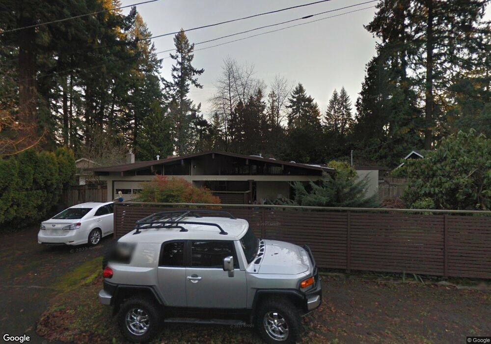
This home is located at 4110 Virginia Way, Lake Oswego, OR 97035 and is currently estimated at $890,277, approximately $424 per square foot. 4110 Virginia Way is a home located in Clackamas County with nearby schools including Westridge Elementary School, Lakeridge Middle School, and Lakeridge High School.
Ownership History
Date
Name
Owned For
Owner Type
Purchase Details
Closed on
May 31, 2006
Sold by
Bopp John D
Bought by
Devault Marilyn
Current Estimated Value
Home Financials for this Owner
Home Financials are based on the most recent Mortgage that was taken out on this home.
Original Mortgage
$250,000
Outstanding Balance
$145,781
Interest Rate
6.52%
Mortgage Type
Fannie Mae Freddie Mac
Estimated Equity
$744,496
Purchase Details
Closed on
Jan 7, 2006
Sold by
Smith Poff Patricia
Bought by
Smith Poff Patricia and Psp Trust
Create a Home Valuation Report for This Property
The Home Valuation Report is an in-depth analysis detailing your home's value as well as a comparison with similar homes in the area
Home Values in the Area
Average Home Value in this Area
Purchase History
| Date | Buyer | Sale Price | Title Company |
|---|---|---|---|
| Devault Marilyn | $403,500 | Chicago Title Insurance Co | |
| Smith Poff Patricia | -- | Chicago Title Co |
Source: Public Records
Mortgage History
| Date | Status | Borrower | Loan Amount |
|---|---|---|---|
| Open | Devault Marilyn | $250,000 |
Source: Public Records
Tax History Compared to Growth
Tax History
| Year | Tax Paid | Tax Assessment Tax Assessment Total Assessment is a certain percentage of the fair market value that is determined by local assessors to be the total taxable value of land and additions on the property. | Land | Improvement |
|---|---|---|---|---|
| 2025 | $6,572 | $342,244 | -- | -- |
| 2024 | $6,397 | $332,276 | -- | -- |
| 2023 | $6,397 | $322,599 | $0 | $0 |
| 2022 | $6,025 | $313,203 | $0 | $0 |
| 2021 | $5,565 | $304,081 | $0 | $0 |
| 2020 | $5,425 | $295,225 | $0 | $0 |
| 2019 | $5,292 | $286,627 | $0 | $0 |
| 2018 | $5,032 | $278,279 | $0 | $0 |
| 2017 | $4,856 | $270,174 | $0 | $0 |
| 2016 | $4,421 | $262,305 | $0 | $0 |
| 2015 | $4,271 | $254,665 | $0 | $0 |
| 2014 | $4,216 | $247,248 | $0 | $0 |
Source: Public Records
Map
Nearby Homes
- 4160 Westbay Rd
- 4264 Westbay Rd
- 4241 Cobb Way
- 4340 Chapman Way
- 16755 Graef Cir
- 17367 Canal Cir
- 4224 Haven St
- 4368 Lakeview Blvd
- 4470 Lakeview Blvd
- 17595 Kelok Rd
- 4640 Lower Dr
- 4610 Lower Dr
- 17810 Sarah Hill Ln
- 4480 Upper Dr
- 17210 Cedar Rd
- 17855 Deerbrush Ave
- 17447 Blue Heron Rd
- 4971 Lakeview Blvd
- 17422 Blue Heron Rd
- 18121 Deerbrush Ave
- 4090 Virginia Way
- 4144 Virginia Way
- 4161 Chapman Way
- 4070 Virginia Way
- 4164 Virginia Way
- 4101 Virginia Way
- 4141 Chapman Way
- 4181 Chapman Way
- 4121 Chapman Way
- 4160 W Bay Rd
- 4191 Chapman Way
- 4090 Westbay Rd
- 4050 Virginia Way
- 4184 Virginia Way
- 4124 Westbay Rd
- 4070 Westbay Rd
- 4051 Virginia Way
- 4200 Westbay Rd
- 4101 Chapman Way
- 4210 Virginia Way