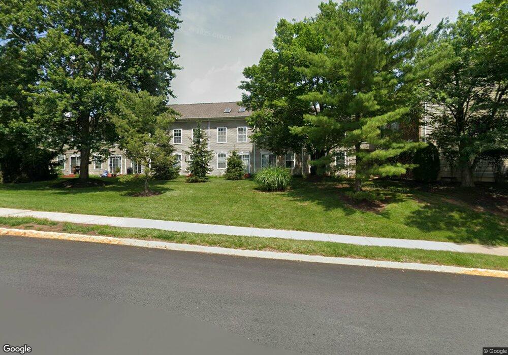
4111 Captain Molly Cir Unit 88 Doylestown, PA 18902
Plumstead NeighborhoodEstimated Value: $322,686 - $340,000
2
Beds
2
Baths
1,056
Sq Ft
$313/Sq Ft
Est. Value
About This Home
This home is located at 4111 Captain Molly Cir Unit 88, Doylestown, PA 18902 and is currently estimated at $330,172, approximately $312 per square foot. 4111 Captain Molly Cir Unit 88 is a home located in Bucks County with nearby schools including Groveland Elementary School, Tohickon Middle School, and Central Bucks High School-West.
Ownership History
Date
Name
Owned For
Owner Type
Purchase Details
Closed on
Mar 14, 1996
Sold by
Patriots Ridge Ltd Partnership
Bought by
Fulton Maryann and Laporta Anthony P
Current Estimated Value
Home Financials for this Owner
Home Financials are based on the most recent Mortgage that was taken out on this home.
Original Mortgage
$95,400
Interest Rate
6.97%
Create a Home Valuation Report for This Property
The Home Valuation Report is an in-depth analysis detailing your home's value as well as a comparison with similar homes in the area
Home Values in the Area
Average Home Value in this Area
Purchase History
| Date | Buyer | Sale Price | Title Company |
|---|---|---|---|
| Fulton Maryann | $100,490 | -- |
Source: Public Records
Mortgage History
| Date | Status | Borrower | Loan Amount |
|---|---|---|---|
| Previous Owner | Fulton Maryann | $95,400 |
Source: Public Records
Tax History Compared to Growth
Tax History
| Year | Tax Paid | Tax Assessment Tax Assessment Total Assessment is a certain percentage of the fair market value that is determined by local assessors to be the total taxable value of land and additions on the property. | Land | Improvement |
|---|---|---|---|---|
| 2025 | $3,517 | $20,240 | -- | $20,240 |
| 2024 | $3,517 | $20,240 | $0 | $20,240 |
| 2023 | $3,405 | $20,240 | $0 | $20,240 |
| 2022 | $3,367 | $20,240 | $0 | $20,240 |
| 2021 | $3,329 | $20,240 | $0 | $20,240 |
| 2020 | $3,329 | $20,240 | $0 | $20,240 |
| 2019 | $3,309 | $20,240 | $0 | $20,240 |
| 2018 | $3,309 | $20,240 | $0 | $20,240 |
| 2017 | $3,264 | $20,240 | $0 | $20,240 |
| 2016 | $3,264 | $20,240 | $0 | $20,240 |
| 2015 | -- | $20,240 | $0 | $20,240 |
| 2014 | -- | $20,240 | $0 | $20,240 |
Source: Public Records
Map
Nearby Homes
- 3723 William Daves Rd
- 3765 William Daves Rd
- 114 Blackfriars Cir
- 100 Bishops Gate Ln Unit 67
- 3600 Jacob Stout Rd Unit 3
- 4748 Bishop Cir
- 3711 Jacob Stout Rd Unit 5
- 194 Victoria Ct Unit 143
- 3838 Jacob Stout Rd
- 301 Windy Run Rd
- 3923 Ferry Rd
- 90 Chapman Ave
- Madison Plan at Clover Hill Crossing
- Rittenhouse Plan at Clover Hill Crossing
- Harrison Plan at Clover Hill Crossing
- Chapel Hill Plan at Clover Hill Crossing
- Georgetown Plan at Clover Hill Crossing
- Fenimore Plan at Clover Hill Crossing
- 4263 Kleinot Dr
- 418 North St
- 4109 Captain Molly Cir Unit 89
- 4109 Captain Molly Cir Unit AIN
- 4113 Captain Molly Cir Unit 87
- 4113 Captain Molly Cir Unit AIN
- 4107 Captain Molly Cir Unit 90
- 4107 Captain Molly Cir Unit AIN
- 4115 Captain Molly Cir Unit 86
- 4117 Captain Molly Cir Unit 85
- 4117 Captain Molly Cir Unit AIN
- 4105 Captain Molly Cir Unit 91
- 4105 Captain Molly Cir Unit AIN
- 4103 Captain Molly Cir Unit 92
- 4101 Captain Molly Cir Unit AIN
- 4101 Captain Molly Cir Unit 93
- 4119 Captain Molly Cir Unit 84
- 4119 Captain Molly Cir Unit AIN
- 4121 Captain Molly Cir Unit 83
- 4121 Captain Molly Cir Unit AIN
- 4123 Captain Molly Cir Unit 82
- 4125 Captain Molly Cir Unit 81