4111 Patterson Rd Pea Ridge, AR 72751
Estimated Value: $406,000 - $564,566
Studio
2
Baths
1,888
Sq Ft
$267/Sq Ft
Est. Value
About This Home
This home is located at 4111 Patterson Rd, Pea Ridge, AR 72751 and is currently estimated at $503,855, approximately $266 per square foot. 4111 Patterson Rd is a home located in Benton County with nearby schools including Pea Ridge Intermediate School, Pea Ridge Primary School, and Pea Ridge Junior High School.
Ownership History
Date
Name
Owned For
Owner Type
Purchase Details
Closed on
Sep 12, 2019
Sold by
Schooley Bobbie Kay
Bought by
Schooley Michael Joe
Current Estimated Value
Purchase Details
Closed on
Oct 23, 1998
Bought by
Schooley
Purchase Details
Closed on
Oct 26, 1995
Bought by
Dod 10-26-1995
Purchase Details
Closed on
Nov 13, 1992
Bought by
Schooley
Purchase Details
Closed on
Mar 15, 1989
Bought by
Patterson Tr
Create a Home Valuation Report for This Property
The Home Valuation Report is an in-depth analysis detailing your home's value as well as a comparison with similar homes in the area
Home Values in the Area
Average Home Value in this Area
Purchase History
| Date | Buyer | Sale Price | Title Company |
|---|---|---|---|
| Schooley Michael Joe | -- | None Available | |
| Schooley | -- | -- | |
| Dod 10-26-1995 | -- | -- | |
| Schooley | $20,000 | -- | |
| Patterson Tr | -- | -- |
Source: Public Records
Tax History
| Year | Tax Paid | Tax Assessment Tax Assessment Total Assessment is a certain percentage of the fair market value that is determined by local assessors to be the total taxable value of land and additions on the property. | Land | Improvement |
|---|---|---|---|---|
| 2025 | $2,258 | $70,721 | $18,712 | $52,009 |
| 2024 | $2,157 | $70,721 | $18,712 | $52,009 |
| 2023 | $2,054 | $47,860 | $7,350 | $40,510 |
| 2022 | $1,687 | $47,860 | $7,350 | $40,510 |
| 2021 | $1,590 | $47,860 | $7,350 | $40,510 |
| 2020 | $1,550 | $34,480 | $3,140 | $31,340 |
| 2019 | $1,550 | $34,480 | $3,140 | $31,340 |
| 2018 | $1,549 | $34,480 | $3,140 | $31,340 |
| 2017 | $1,264 | $34,480 | $3,140 | $31,340 |
| 2016 | $1,264 | $34,480 | $3,140 | $31,340 |
| 2015 | $1,538 | $29,640 | $1,320 | $28,320 |
| 2014 | $1,190 | $29,640 | $1,320 | $28,320 |
Source: Public Records
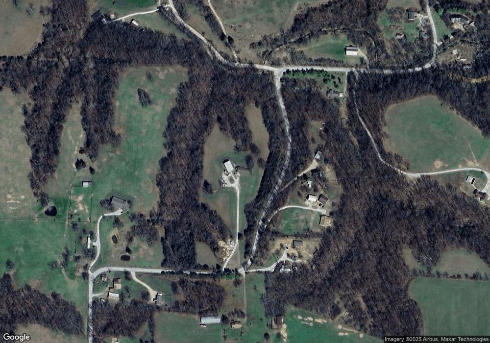
Map
Nearby Homes
- 16422 Tract 3 Patton Rd
- 16422 Tracts 2 & 3 Patton Rd
- 16422 Tract 2 Patton Rd
- 4020 Hayden Rd
- 16731 Patton Rd
- TBD Bridgeford Dr
- 45.09 AC Hayden Rd
- 1145 John Renfro Rd
- 2676 Hayden Rd
- 2680 Hayden Rd
- 2749 Hayden Rd
- 2309 Bergman Rd
- 2030 Bussey Ln
- 2051 Patterson Rd
- 1709 Hagerty St
- 1900 Strong Ave
- 1807 Hagerty St
- 1800 Hagerty St
- 1905 Strong Ave
- 1804 Porter St
- 4290 Patterson Rd
- 4118 Patterson Rd
- 15809 Patterson Rd
- 1002 Cloer Rd
- 4780 Clorer Rd
- 1519 Cloer Rd
- 4099 Patterson Rd
- 4106 Patterson Rd
- 4088 Patterson Rd
- 3966 Patterson Rd
- 4500 Cloer Rd
- 4603 Cloer Rd
- 16657 Patterson Rd
- 0 Clore Rd
- 13992 Cloer Rd
- 0 Cloer Rd
- 16638 Patterson Rd
- 4780 Cloer Rd
- 16642 Patterson Rd
- 3860 Patterson Rd
Your Personal Tour Guide
Ask me questions while you tour the home.