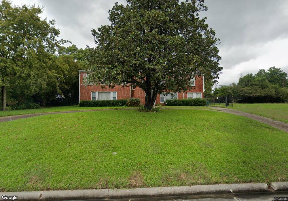
4111 Roseneath Dr Houston, TX 77021
MacGregor NeighborhoodEstimated Value: $562,675 - $718,000
3
Beds
3
Baths
3,729
Sq Ft
$173/Sq Ft
Est. Value
About This Home
This home is located at 4111 Roseneath Dr, Houston, TX 77021 and is currently estimated at $645,919, approximately $173 per square foot. 4111 Roseneath Dr is a home located in Harris County with nearby schools including Peck Elementary School, Cullen Middle School, and Yates High School.
Ownership History
Date
Name
Owned For
Owner Type
Purchase Details
Closed on
Aug 5, 1994
Sold by
Bank Of Houston
Bought by
Bonner Alice A
Current Estimated Value
Home Financials for this Owner
Home Financials are based on the most recent Mortgage that was taken out on this home.
Original Mortgage
$80,000
Interest Rate
8.53%
Create a Home Valuation Report for This Property
The Home Valuation Report is an in-depth analysis detailing your home's value as well as a comparison with similar homes in the area
Home Values in the Area
Average Home Value in this Area
Purchase History
We collect this data history from publicly available records. To have your information removed, we recommend requesting removal directly through your county’s website.
| Date | Buyer | Sale Price | Title Company |
|---|---|---|---|
| Bonner Alice A | -- | Regency Title |
Source: Public Records
Mortgage History
We collect this data history from publicly available records. To have your information removed, we recommend requesting removal directly through your county’s website.
| Date | Status | Borrower | Loan Amount |
|---|---|---|---|
| Previous Owner | Bonner Alice A | $80,000 |
Source: Public Records
Tax History
| Year | Tax Paid | Tax Assessment Tax Assessment Total Assessment is a certain percentage of the fair market value that is determined by local assessors to be the total taxable value of land and additions on the property. | Land | Improvement |
|---|---|---|---|---|
| 2025 | $1,678 | $539,223 | $311,278 | $227,945 |
| 2024 | $1,678 | $528,448 | $311,278 | $217,170 |
| 2023 | $1,678 | $522,294 | $311,278 | $211,016 |
| 2022 | $9,954 | $486,459 | $311,278 | $175,181 |
| 2021 | $9,103 | $390,588 | $226,384 | $164,204 |
| 2020 | $9,271 | $365,502 | $226,384 | $139,118 |
| 2019 | $9,825 | $371,393 | $226,384 | $145,009 |
| 2018 | $3,439 | $371,393 | $226,384 | $145,009 |
| 2017 | $9,460 | $371,393 | $226,384 | $145,009 |
| 2016 | $8,600 | $371,393 | $226,384 | $145,009 |
| 2015 | -- | $370,224 | $226,384 | $143,840 |
| 2014 | -- | $280,261 | $141,490 | $138,771 |
Source: Public Records
Map
Nearby Homes
- 0 S Macgregor Way Unit 68999068
- 4119 Fernwood Dr
- 4031 Fernwood Dr
- 4301 Charleston St
- 4302 Fernwood Dr
- 4102 Charleston St
- 4310 Fernwood Dr
- 3922 Roseneath Dr
- 4315 Fernwood Dr
- 4042 Glen Cove Dr
- 4030 Glen Cove Dr
- 4327 Alconbury Ln
- 4130 Glen Cove Ct
- 4015 England Ct E
- 3862 Wichita St
- 0 Southmore Blvd
- 3942 Charleston St
- 4425 Laurel Dr
- 3817 Palm St
- 4013 Griggs Rd Unit B
- 4115 Roseneath Dr
- 4106 S Macgregor Way
- 4101 Roseneath Dr
- 4114 S Macgregor Way
- 4110 Roseneath Dr
- 4100 S Macgregor Way
- 4102 S Macgregor Way
- 4114 Roseneath Dr
- 4203 Roseneath Dr
- 4202 S Macgregor Way
- 4118 Roseneath Dr
- 4102 Roseneath Dr
- 4106 Roseneath Dr
- 4207 Roseneath Dr
- 4122 Roseneath Dr
- 0 S Macgregor Way Unit 94380145
- 0 S Macgregor Way Unit 82625488
- 0 S Macgregor Way Unit 2296310
- 4115 Fernwood Dr
- 4109 Fernwood Dr
Your Personal Tour Guide
Ask me questions while you tour the home.