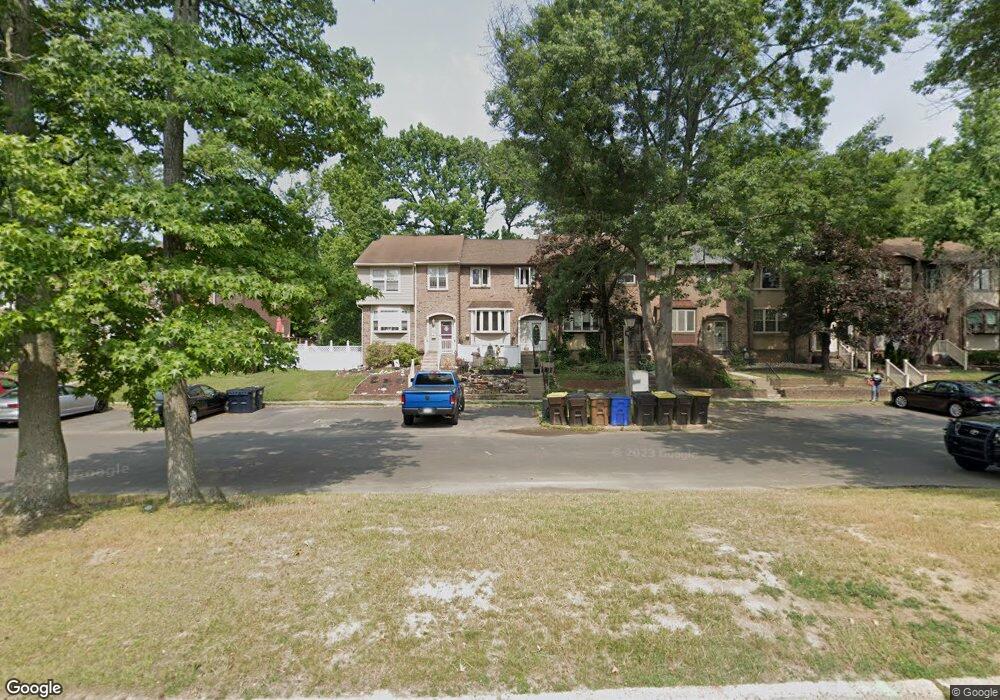
4112 Barnstaple Ct Bensalem, PA 19020
Estimated Value: $335,000 - $363,000
3
Beds
2
Baths
1,400
Sq Ft
$249/Sq Ft
Est. Value
About This Home
This home is located at 4112 Barnstaple Ct, Bensalem, PA 19020 and is currently estimated at $349,086, approximately $249 per square foot. 4112 Barnstaple Ct is a home located in Bucks County with nearby schools including School Lane Charter School, St Charles Borromeo School, and St. Ephrem School.
Ownership History
Date
Name
Owned For
Owner Type
Purchase Details
Closed on
Apr 19, 2012
Sold by
Klaiss Edward J and Klaiss Regina M
Bought by
Klaiss Edward J
Current Estimated Value
Home Financials for this Owner
Home Financials are based on the most recent Mortgage that was taken out on this home.
Original Mortgage
$185,000
Outstanding Balance
$127,781
Interest Rate
3.91%
Mortgage Type
New Conventional
Estimated Equity
$221,305
Purchase Details
Closed on
Aug 7, 1992
Bought by
Klaiss Edward J and Klaiss Regina M
Create a Home Valuation Report for This Property
The Home Valuation Report is an in-depth analysis detailing your home's value as well as a comparison with similar homes in the area
Home Values in the Area
Average Home Value in this Area
Purchase History
| Date | Buyer | Sale Price | Title Company |
|---|---|---|---|
| Klaiss Edward J | -- | Old Republic National Title | |
| Klaiss Edward J | -- | -- |
Source: Public Records
Mortgage History
| Date | Status | Borrower | Loan Amount |
|---|---|---|---|
| Open | Klaiss Edward J | $185,000 |
Source: Public Records
Tax History Compared to Growth
Tax History
| Year | Tax Paid | Tax Assessment Tax Assessment Total Assessment is a certain percentage of the fair market value that is determined by local assessors to be the total taxable value of land and additions on the property. | Land | Improvement |
|---|---|---|---|---|
| 2025 | $3,921 | $17,960 | $2,520 | $15,440 |
| 2024 | $3,921 | $17,960 | $2,520 | $15,440 |
| 2023 | $3,810 | $17,960 | $2,520 | $15,440 |
| 2022 | $3,788 | $17,960 | $2,520 | $15,440 |
| 2021 | $3,788 | $17,960 | $2,520 | $15,440 |
| 2020 | $3,750 | $17,960 | $2,520 | $15,440 |
| 2019 | $3,666 | $17,960 | $2,520 | $15,440 |
| 2018 | $3,581 | $17,960 | $2,520 | $15,440 |
| 2017 | $3,559 | $17,960 | $2,520 | $15,440 |
| 2016 | $3,559 | $17,960 | $2,520 | $15,440 |
| 2015 | -- | $17,960 | $2,520 | $15,440 |
| 2014 | -- | $17,960 | $2,520 | $15,440 |
Source: Public Records
Map
Nearby Homes
- 1105 Sheffield Ct
- 3967 Gloucester Ct
- 3933 Wrexham Ct
- 3806 Bristol Pike
- 0 Neshaminy St Unit PABU2089046
- 3552 Bristol Pike
- 3546 Bristol Pike
- 110 Neshaminy Rd
- 953 Farley Rd
- 4783 Meeting Rd
- 938 Ashton Rd
- 3280 Fairway Rd
- 3255 Parkview Dr
- 1881 Byberry Rd
- 3201 Fairway Rd
- 1164 William Penn Dr
- 4744 Dunston Rd
- L:15 Dunston Rd
- 1100 Wayland Ave
- 543 Princess Ave
- 4114 Barnstaple Ct
- 4110 Barnstaple Ct
- 4116 Barnstaple Ct
- 4118 Barnstaple Ct
- 4108 Barnstaple Ct
- 4120 Barnstaple Ct
- 4106 Barnstaple Ct
- 4113 Salford Ct
- 4111 Salford Ct
- 4104 Barnstaple Ct
- 4117 Salford Ct
- 4109 Salford Ct
- 4122 Barnstaple Ct
- 4107 Salford Ct
- 4119 Salford Ct
- 4102 Barnstaple Ct
- 4105 Salford Ct
- 4103 Salford Ct
- 4100 Barnstaple Ct
- 4101 Salford Ct