Estimated Value: $297,345 - $375,000
3
Beds
3
Baths
1,566
Sq Ft
$219/Sq Ft
Est. Value
About This Home
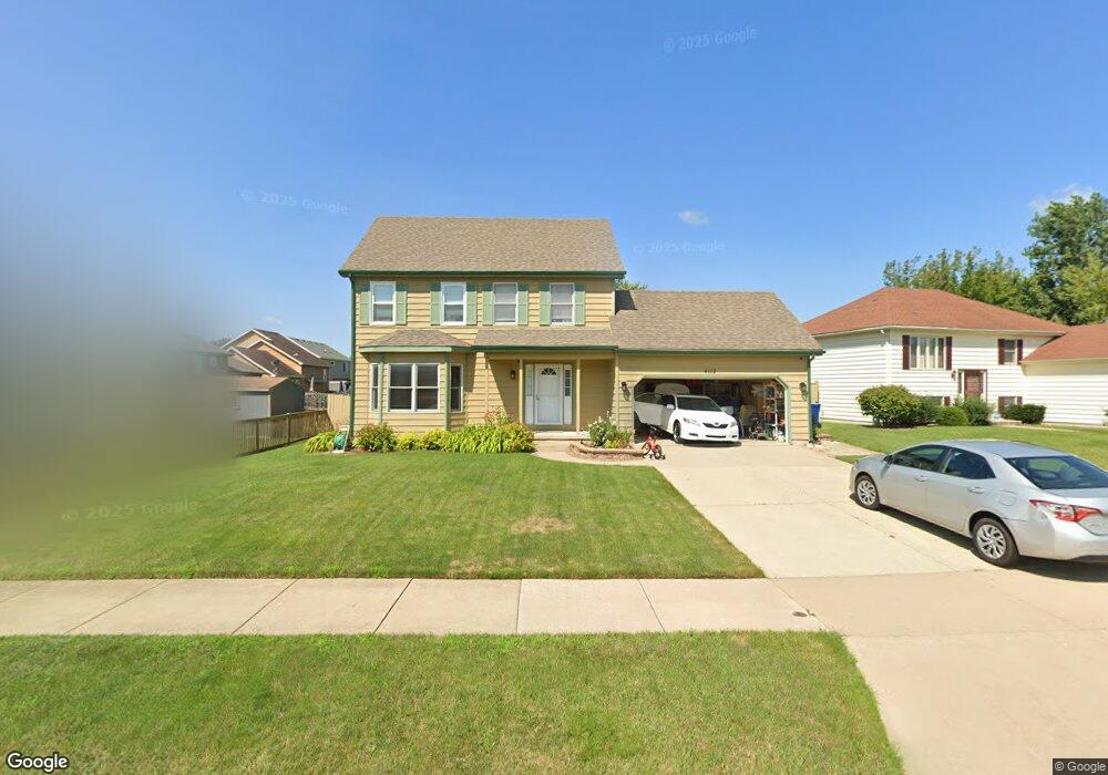
This home is located at 4112 Bertrand Ln, Zion, IL 60099 and is currently estimated at $342,836, approximately $218 per square foot. 4112 Bertrand Ln is a home located in Lake County with nearby schools including Oak Crest School, Beach Park Middle School, and Zion-Benton Township High School.
Ownership History
Date
Name
Owned For
Owner Type
Purchase Details
Closed on
Sep 30, 2002
Sold by
Larson Alvar
Bought by
Hyatt Laxton R and Hyatt Paulette
Current Estimated Value
Home Financials for this Owner
Home Financials are based on the most recent Mortgage that was taken out on this home.
Original Mortgage
$181,389
Outstanding Balance
$76,490
Interest Rate
6.24%
Mortgage Type
FHA
Estimated Equity
$266,346
Create a Home Valuation Report for This Property
The Home Valuation Report is an in-depth analysis detailing your home's value as well as a comparison with similar homes in the area
Home Values in the Area
Average Home Value in this Area
Purchase History
| Date | Buyer | Sale Price | Title Company |
|---|---|---|---|
| Hyatt Laxton R | $184,500 | First American Title |
Source: Public Records
Mortgage History
| Date | Status | Borrower | Loan Amount |
|---|---|---|---|
| Open | Hyatt Laxton R | $181,389 |
Source: Public Records
Tax History Compared to Growth
Tax History
| Year | Tax Paid | Tax Assessment Tax Assessment Total Assessment is a certain percentage of the fair market value that is determined by local assessors to be the total taxable value of land and additions on the property. | Land | Improvement |
|---|---|---|---|---|
| 2024 | $6,420 | $78,939 | $6,627 | $72,312 |
| 2023 | $6,788 | $69,206 | $6,397 | $62,809 |
| 2022 | $6,788 | $66,029 | $6,258 | $59,771 |
| 2021 | $7,926 | $64,350 | $6,099 | $58,251 |
| 2020 | $7,498 | $61,408 | $5,820 | $55,588 |
| 2019 | $7,466 | $58,262 | $5,522 | $52,740 |
| 2018 | $6,705 | $51,826 | $6,662 | $45,164 |
| 2017 | $6,612 | $48,754 | $6,267 | $42,487 |
| 2016 | $6,430 | $46,414 | $5,966 | $40,448 |
| 2015 | $6,185 | $42,566 | $5,471 | $37,095 |
| 2014 | $7,582 | $50,352 | $14,344 | $36,008 |
| 2012 | $7,617 | $52,325 | $14,906 | $37,419 |
Source: Public Records
Map
Nearby Homes
- 1121 Otto Graham Ln
- 3931 Bertrand Ln
- 10765 W Liberty Ave
- 38571 N Cedar Ave
- 11345 W Carnahan Ave
- 11382 W Leland Ave
- 11342-11346 W Wadsworth Rd
- 38683 N Lewis Ave
- 1667 W Beach Rd Unit 1667
- 1677 W Beach Rd Unit 1677
- 1730 W Beach Rd
- 3225 Gilead Ave
- 3224 Gilboa Ave
- 10295 W Crissy Ave
- 3221 Gideon Ave
- 2614 33rd St
- 39161 N Holdridge Ave
- 38176 N De Woody Rd
- 10209 W Crissy Ave
- 38362 N Manor Ave
- 4116 Bertrand Ln
- 1112 Mary Jane Ln
- 1116 Mary Jane Ln
- 4120 Bertrand Ln
- 1123 Leo Singer Ln
- 1120 Mary Jane Ln
- 1127 Leo Singer Ln
- 4109 Bertrand Ln
- 4115 Bertrand Ln
- 4105 Bertrand Ln
- 1124 Mary Jane Ln
- 1119 Leo Singer Ln
- 4119 Bertrand Ln
- 4101 Bertrand Ln
- 1128 Mary Jane Ln
- 4123 Bertrand Ln
- 4031 Bertrand Ln
- 4127 Bertrand Ln