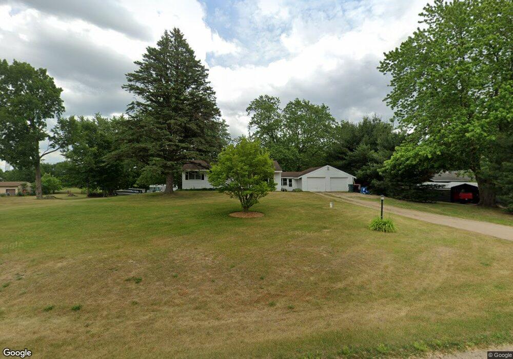
4115 14th St Wayland, MI 49348
Estimated Value: $276,539 - $340,000
3
Beds
2
Baths
2,132
Sq Ft
$146/Sq Ft
Est. Value
About This Home
This home is located at 4115 14th St, Wayland, MI 49348 and is currently estimated at $311,635, approximately $146 per square foot. 4115 14th St is a home located in Allegan County with nearby schools including Wayland High School and Moline Christian School.
Ownership History
Date
Name
Owned For
Owner Type
Purchase Details
Closed on
Feb 21, 2020
Sold by
Stratmeyer Scott and Stratmeyer Jayne Ann
Bought by
Stratmeyer Scott and Stratmeyer Jayne Ann
Current Estimated Value
Purchase Details
Closed on
Dec 13, 2002
Sold by
Mayberry Lorraine and Parks Diane L
Bought by
Stratmeyer Scott and Stratmeyer Jayne Ann
Home Financials for this Owner
Home Financials are based on the most recent Mortgage that was taken out on this home.
Original Mortgage
$108,000
Outstanding Balance
$46,591
Interest Rate
6.3%
Estimated Equity
$265,044
Purchase Details
Closed on
Jun 27, 1998
Sold by
Mayberry Lorraine
Bought by
Mayberry Lorraine and Parks Diane L
Purchase Details
Closed on
Oct 13, 1997
Sold by
Jones Evelyn E
Bought by
Mayberry Evelyn and Mayberry Lorraine
Create a Home Valuation Report for This Property
The Home Valuation Report is an in-depth analysis detailing your home's value as well as a comparison with similar homes in the area
Home Values in the Area
Average Home Value in this Area
Purchase History
| Date | Buyer | Sale Price | Title Company |
|---|---|---|---|
| Stratmeyer Scott | -- | None Available | |
| Stratmeyer Scott | $120,000 | Metropolitan Title Company | |
| Mayberry Lorraine | -- | -- | |
| Mayberry Lorraine | -- | -- | |
| Mayberry Evelyn | -- | -- |
Source: Public Records
Mortgage History
| Date | Status | Borrower | Loan Amount |
|---|---|---|---|
| Open | Stratmeyer Scott | $108,000 |
Source: Public Records
Tax History
| Year | Tax Paid | Tax Assessment Tax Assessment Total Assessment is a certain percentage of the fair market value that is determined by local assessors to be the total taxable value of land and additions on the property. | Land | Improvement |
|---|---|---|---|---|
| 2025 | $2,119 | $123,400 | $45,000 | $78,400 |
| 2024 | $1,919 | $111,700 | $38,000 | $73,700 |
| 2023 | $1,966 | $102,300 | $36,200 | $66,100 |
| 2022 | $1,919 | $88,200 | $32,500 | $55,700 |
| 2021 | $1,798 | $75,500 | $26,300 | $49,200 |
| 2020 | $133 | $70,000 | $25,000 | $45,000 |
| 2019 | $1,718 | $66,900 | $21,500 | $45,400 |
| 2018 | $1,682 | $61,200 | $21,500 | $39,700 |
| 2017 | $0 | $56,800 | $16,000 | $40,800 |
| 2016 | $0 | $60,600 | $17,500 | $43,100 |
| 2015 | -- | $60,600 | $17,500 | $43,100 |
| 2014 | -- | $55,800 | $17,500 | $38,300 |
| 2013 | -- | $51,000 | $15,200 | $35,800 |
Source: Public Records
Map
Nearby Homes
- 4335 Tavistock Dr
- 4087 Gene Ct
- 4273 Highpoint Dr Unit 112
- 4269 Highpoint Dr Unit 114
- 4271 Highpoint Dr Unit 113
- 4294 Highpoint Dr Unit 103
- 4255 Cloverfield Ct
- 1069 Sunnyside Dr
- 4279 Highpoint Dr
- 4243 Butternut Dr
- 4245 Butternut Dr
- 4249 Butternut Dr
- Lot 120 Old Farm Dr
- Lot 131 Butternut Dr
- 4286 Butternut Dr
- 1341 142nd Ave
- Lots A&B 142nd Ave
- 1829 Sunset Dr
- 4035 Patti Rd
- 3770 Division Ave S
Your Personal Tour Guide
Ask me questions while you tour the home.