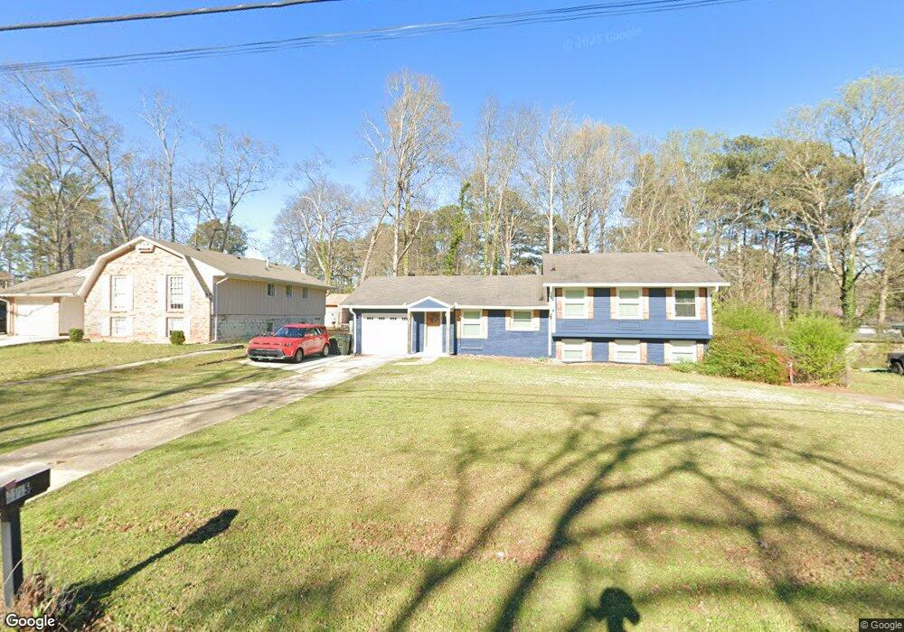
4115 Brookwood Dr Unit 1 Austell, GA 30106
Estimated Value: $264,000 - $294,000
3
Beds
2
Baths
1,171
Sq Ft
$243/Sq Ft
Est. Value
About This Home
This home is located at 4115 Brookwood Dr Unit 1, Austell, GA 30106 and is currently estimated at $284,812, approximately $243 per square foot. 4115 Brookwood Dr Unit 1 is a home located in Cobb County with nearby schools including Deerwood Elementary School, Sunrise Elementary School, and Sanders Elementary School.
Ownership History
Date
Name
Owned For
Owner Type
Purchase Details
Closed on
Jan 20, 2005
Sold by
Hendrix Michael E
Bought by
Earls Brandy and Earls Brian
Current Estimated Value
Home Financials for this Owner
Home Financials are based on the most recent Mortgage that was taken out on this home.
Original Mortgage
$25,060
Interest Rate
5.66%
Mortgage Type
Stand Alone Refi Refinance Of Original Loan
Create a Home Valuation Report for This Property
The Home Valuation Report is an in-depth analysis detailing your home's value as well as a comparison with similar homes in the area
Home Values in the Area
Average Home Value in this Area
Purchase History
| Date | Buyer | Sale Price | Title Company |
|---|---|---|---|
| Earls Brandy | $125,300 | -- |
Source: Public Records
Mortgage History
| Date | Status | Borrower | Loan Amount |
|---|---|---|---|
| Previous Owner | Earls Brandy | $25,060 |
Source: Public Records
Tax History Compared to Growth
Tax History
| Year | Tax Paid | Tax Assessment Tax Assessment Total Assessment is a certain percentage of the fair market value that is determined by local assessors to be the total taxable value of land and additions on the property. | Land | Improvement |
|---|---|---|---|---|
| 2025 | $2,335 | $104,656 | $26,000 | $78,656 |
| 2024 | $2,337 | $104,656 | $26,000 | $78,656 |
| 2023 | $1,720 | $101,232 | $26,000 | $75,232 |
| 2022 | $1,961 | $86,608 | $20,000 | $66,608 |
| 2021 | $1,364 | $59,348 | $20,000 | $39,348 |
| 2020 | $1,163 | $50,152 | $20,000 | $30,152 |
| 2019 | $1,093 | $46,940 | $12,000 | $34,940 |
| 2018 | $1,093 | $46,940 | $12,000 | $34,940 |
| 2017 | $1,046 | $46,940 | $12,000 | $34,940 |
| 2016 | $327 | $20,260 | $5,600 | $14,660 |
| 2015 | $337 | $20,260 | $5,600 | $14,660 |
| 2014 | $285 | $18,428 | $0 | $0 |
Source: Public Records
Map
Nearby Homes
- 4200 Citizen Cir Unit 3
- 4201 Regal Ridge Rd
- 4072 Elsdon Dr
- 1097 Trestle Dr
- 1146 Silvergate Ln
- 3864 Guilderoy Ln Unit 3
- 4406 Yelverton Place
- 1249 Creek Forest Ln Unit 8
- 1689 Lansmere St SW
- 1245 Creek Forest Ln Unit 8
- 1693 Lansmere St SW
- 1701 Lansmere St SW
- 1717 Lansmere St SW
- 1688 Lansmere St SW
- 1721 Lansmere St SW
- 1713 Lansmere St SW
- 1406 Yates Ave
- 1745 Lansmere St SW
- 4105 Brookwood Dr
- 4105 Brookwood Dr Unit 1
- 4125 Brookwood Dr
- 4135 Brookwood Dr
- 4095 Brookwood Dr
- 1412 Custom Ct
- 4116 Brookwood Dr Unit 1
- 4126 Brookwood Dr
- 4145 Brookwood Dr Unit 2
- 1416 Custom Ct
- 1402 Custom Ct
- 4136 Brookwood Dr
- 4125 Citizen Cir
- 4086 Brookwood Dr Unit 1
- 4100 Pilgrim Place
- 4092 Pilgrim Place Unit 4
- 4146 Brookwood Dr
- 4155 Brookwood Dr
- 4080 Pilgrim Place
- 4118 Pilgrim Place