Estimated Value: $163,000 - $237,000
3
Beds
2
Baths
1,580
Sq Ft
$118/Sq Ft
Est. Value
About This Home
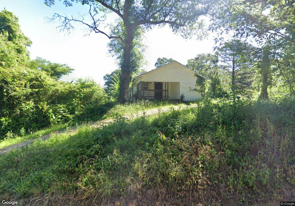
This home is located at 4116 Old Acton Rd, Moody, AL 35004 and is currently estimated at $186,408, approximately $117 per square foot. 4116 Old Acton Rd is a home located in St. Clair County with nearby schools including Moody Elementary School, Moody Middle School, and Moody High School.
Ownership History
Date
Name
Owned For
Owner Type
Purchase Details
Closed on
May 6, 2022
Sold by
High Point Capital Llc
Bought by
Franklin Daniel
Current Estimated Value
Home Financials for this Owner
Home Financials are based on the most recent Mortgage that was taken out on this home.
Original Mortgage
$116,400
Outstanding Balance
$109,531
Interest Rate
4.42%
Mortgage Type
New Conventional
Estimated Equity
$76,877
Purchase Details
Closed on
Nov 1, 2021
Sold by
Barefoot Carlene and Barefoot James Michael
Bought by
High Point Capital Llc
Home Financials for this Owner
Home Financials are based on the most recent Mortgage that was taken out on this home.
Original Mortgage
$80,000
Interest Rate
2.8%
Mortgage Type
Purchase Money Mortgage
Create a Home Valuation Report for This Property
The Home Valuation Report is an in-depth analysis detailing your home's value as well as a comparison with similar homes in the area
Home Values in the Area
Average Home Value in this Area
Purchase History
| Date | Buyer | Sale Price | Title Company |
|---|---|---|---|
| Franklin Daniel | $145,500 | None Listed On Document | |
| Franklin Daniel | $145,500 | None Listed On Document | |
| High Point Capital Llc | $21,000 | None Available |
Source: Public Records
Mortgage History
| Date | Status | Borrower | Loan Amount |
|---|---|---|---|
| Open | Franklin Daniel | $116,400 | |
| Closed | Franklin Daniel | $116,400 | |
| Previous Owner | High Point Capital Llc | $80,000 |
Source: Public Records
Tax History Compared to Growth
Tax History
| Year | Tax Paid | Tax Assessment Tax Assessment Total Assessment is a certain percentage of the fair market value that is determined by local assessors to be the total taxable value of land and additions on the property. | Land | Improvement |
|---|---|---|---|---|
| 2024 | $584 | $22,922 | $5,160 | $17,762 |
| 2023 | $584 | $22,922 | $5,160 | $17,762 |
| 2022 | $204 | $7,994 | $3,940 | $4,054 |
| 2021 | $135 | $7,994 | $3,940 | $4,054 |
| 2020 | $135 | $7,460 | $3,934 | $3,526 |
| 2019 | $135 | $7,424 | $3,934 | $3,490 |
| 2018 | $117 | $3,240 | $0 | $0 |
| 2017 | $115 | $3,240 | $0 | $0 |
| 2016 | $117 | $3,240 | $0 | $0 |
| 2015 | $115 | $3,240 | $0 | $0 |
| 2014 | $115 | $3,200 | $0 | $0 |
Source: Public Records
Map
Nearby Homes
- 0 Karah Dr Unit 64 878003
- 000 Slate Dr Unit 204 and 205
- 0 Bohannon Dr
- 130 Stevens Cove Dr
- 3701 Hunter Ridge Rd
- 45 Stevens Cove Dr
- 35 Stevens Cove Dr
- The Redmont I 1 Plan at Steven's Cove
- The Benton 1 Plan at Steven's Cove
- The Florabelle II 1 Plan at Steven's Cove
- The Marlin 1 Plan at Steven's Cove
- 15 Stevens Cove Dr
- 5618 Old Acton Rd
- 4145 Blackjack Rd
- 0 Blackjack Rd Unit 21430444
- 395 Lakeridge Dr
- 595 Lakeridge Dr
- 4071 Jubilee Ln
- 1151 Annie Lee Rd
- 2430 W Middlebrooke Crossing