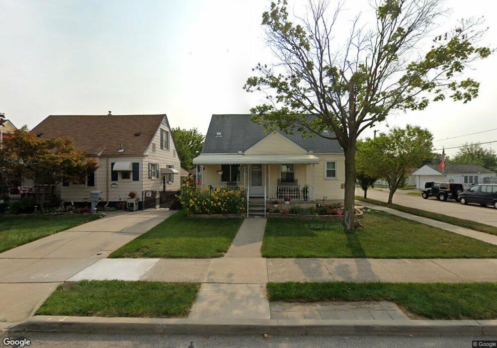
4117 17th St Unit Bldg-Unit Wyandotte, MI 48192
Estimated Value: $213,000 - $250,000
--
Bed
3
Baths
1,305
Sq Ft
$174/Sq Ft
Est. Value
About This Home
This home is located at 4117 17th St Unit Bldg-Unit, Wyandotte, MI 48192 and is currently estimated at $227,081, approximately $174 per square foot. 4117 17th St Unit Bldg-Unit is a home located in Wayne County with nearby schools including Monroe Elementary School, Woodrow Wilson School, and Roosevelt High School.
Ownership History
Date
Name
Owned For
Owner Type
Purchase Details
Closed on
Apr 27, 2018
Sold by
Konzniacki James
Bought by
Hoskins Matthew David and Miracle Brenda
Current Estimated Value
Purchase Details
Closed on
May 21, 2015
Sold by
The Bank Of New York Mellon
Bought by
Kozniacki James F
Purchase Details
Closed on
Jul 24, 2014
Sold by
Bunch Catherine M and Bunch Leon D
Bought by
The Bank Of New York Mellon and The Bank Of New York
Create a Home Valuation Report for This Property
The Home Valuation Report is an in-depth analysis detailing your home's value as well as a comparison with similar homes in the area
Home Values in the Area
Average Home Value in this Area
Purchase History
| Date | Buyer | Sale Price | Title Company |
|---|---|---|---|
| Hoskins Matthew David | $134,900 | Title Solutions Agency Llc | |
| Kozniacki James F | $40,135 | Attorney | |
| The Bank Of New York Mellon | $78,200 | None Available |
Source: Public Records
Tax History Compared to Growth
Tax History
| Year | Tax Paid | Tax Assessment Tax Assessment Total Assessment is a certain percentage of the fair market value that is determined by local assessors to be the total taxable value of land and additions on the property. | Land | Improvement |
|---|---|---|---|---|
| 2025 | $2,942 | $95,900 | $0 | $0 |
| 2024 | $2,942 | $90,500 | $0 | $0 |
| 2023 | $2,793 | $82,400 | $0 | $0 |
| 2022 | $3,232 | $74,300 | $0 | $0 |
| 2021 | $3,169 | $69,200 | $0 | $0 |
| 2020 | $3,120 | $61,300 | $0 | $0 |
| 2019 | $3,056 | $55,700 | $0 | $0 |
| 2018 | $2,018 | $47,500 | $0 | $0 |
| 2017 | $1,778 | $47,500 | $0 | $0 |
| 2016 | $3,414 | $46,100 | $0 | $0 |
| 2015 | $4,046 | $42,800 | $0 | $0 |
| 2013 | $3,920 | $39,200 | $0 | $0 |
| 2012 | $1,831 | $41,000 | $6,100 | $34,900 |
Source: Public Records
Map
Nearby Homes