4117 Captain Molly Cir Unit 85 Doylestown, PA 18902
Plumstead NeighborhoodEstimated Value: $324,000 - $338,000
2
Beds
2
Baths
1,056
Sq Ft
$313/Sq Ft
Est. Value
About This Home
This home is located at 4117 Captain Molly Cir Unit 85, Doylestown, PA 18902 and is currently estimated at $330,649, approximately $313 per square foot. 4117 Captain Molly Cir Unit 85 is a home located in Bucks County with nearby schools including Groveland Elementary School, Tohickon Middle School, and Central Bucks High School-West.
Ownership History
Date
Name
Owned For
Owner Type
Purchase Details
Closed on
May 25, 2021
Sold by
Spano Kathleen
Bought by
Gustaw Gregory and Gustaw Diane
Current Estimated Value
Purchase Details
Closed on
Apr 19, 1996
Sold by
Patriots Ridge Corp
Bought by
Spano Kathleen
Home Financials for this Owner
Home Financials are based on the most recent Mortgage that was taken out on this home.
Original Mortgage
$95,900
Interest Rate
7.81%
Create a Home Valuation Report for This Property
The Home Valuation Report is an in-depth analysis detailing your home's value as well as a comparison with similar homes in the area
Home Values in the Area
Average Home Value in this Area
Purchase History
| Date | Buyer | Sale Price | Title Company |
|---|---|---|---|
| Gustaw Gregory | $265,000 | Tohickon Settlement Services | |
| Spano Kathleen | $100,990 | -- |
Source: Public Records
Mortgage History
| Date | Status | Borrower | Loan Amount |
|---|---|---|---|
| Previous Owner | Spano Kathleen | $95,900 |
Source: Public Records
Tax History Compared to Growth
Tax History
| Year | Tax Paid | Tax Assessment Tax Assessment Total Assessment is a certain percentage of the fair market value that is determined by local assessors to be the total taxable value of land and additions on the property. | Land | Improvement |
|---|---|---|---|---|
| 2025 | $3,517 | $20,240 | -- | $20,240 |
| 2024 | $3,517 | $20,240 | $0 | $20,240 |
| 2023 | $3,405 | $20,240 | $0 | $20,240 |
| 2022 | $3,367 | $20,240 | $0 | $20,240 |
| 2021 | $3,329 | $20,240 | $0 | $20,240 |
| 2020 | $3,329 | $20,240 | $0 | $20,240 |
| 2019 | $3,309 | $20,240 | $0 | $20,240 |
| 2018 | $3,309 | $20,240 | $0 | $20,240 |
| 2017 | $3,264 | $20,240 | $0 | $20,240 |
| 2016 | $3,264 | $20,240 | $0 | $20,240 |
| 2015 | -- | $20,240 | $0 | $20,240 |
| 2014 | -- | $20,240 | $0 | $20,240 |
Source: Public Records
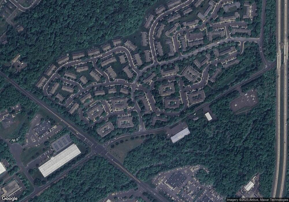
Map
Nearby Homes
- 3723 William Daves Rd
- 3765 William Daves Rd
- 3600 Jacob Stout Rd Unit 3
- 4748 Bishop Cir
- 114 Blackfriars Cir
- 100 Bishops Gate Ln Unit 67
- 3711 Jacob Stout Rd Unit 5
- 3838 Jacob Stout Rd
- 194 Victoria Ct Unit 143
- 301 Windy Run Rd
- 3923 Ferry Rd
- 90 Chapman Ave
- Madison Plan at Clover Hill Crossing
- Rittenhouse Plan at Clover Hill Crossing
- Harrison Plan at Clover Hill Crossing
- Chapel Hill Plan at Clover Hill Crossing
- Georgetown Plan at Clover Hill Crossing
- Fenimore Plan at Clover Hill Crossing
- 4263 Kleinot Dr
- 4317 Kleinot Dr
- 4117 Captain Molly Cir Unit AIN
- 4115 Captain Molly Cir Unit 86
- 4119 Captain Molly Cir Unit 84
- 4119 Captain Molly Cir Unit AIN
- 4113 Captain Molly Cir Unit 87
- 4113 Captain Molly Cir Unit AIN
- 4121 Captain Molly Cir Unit 83
- 4121 Captain Molly Cir Unit AIN
- 4123 Captain Molly Cir Unit 82
- 4111 Captain Molly Cir Unit 88
- 4125 Captain Molly Cir Unit 81
- 4125 Captain Molly Cir Unit AIN
- 4109 Captain Molly Cir Unit 89
- 4109 Captain Molly Cir Unit AIN
- 4107 Captain Molly Cir Unit 90
- 4107 Captain Molly Cir Unit AIN
- 4105 Captain Molly Cir Unit 91
- 4105 Captain Molly Cir Unit AIN
- 4103 Captain Molly Cir Unit 92
- 4101 Captain Molly Cir Unit AIN