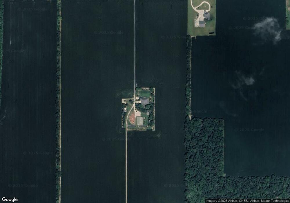
4117 E 700 S Lafayette, IN 47909
Estimated Value: $390,000 - $669,000
Studio
1
Bath
2,400
Sq Ft
$226/Sq Ft
Est. Value
About This Home
This home is located at 4117 E 700 S, Lafayette, IN 47909 and is currently estimated at $541,233, approximately $225 per square foot. 4117 E 700 S is a home located in Tippecanoe County with nearby schools including Woodland Elementary School, Wea Ridge Middle School, and McCutcheon High School.
Ownership History
Date
Name
Owned For
Owner Type
Purchase Details
Closed on
Mar 30, 2022
Sold by
Pilotte Alexander N and Pilotte Pamela J
Bought by
Pilotte Alexander N and Liv Pamela
Current Estimated Value
Purchase Details
Closed on
Jan 15, 2001
Sold by
Bruce Gunstra Builders Inc
Bought by
Pilotte Alexander N and Pilotte Pamela J
Home Financials for this Owner
Home Financials are based on the most recent Mortgage that was taken out on this home.
Original Mortgage
$148,880
Interest Rate
7.69%
Create a Home Valuation Report for This Property
The Home Valuation Report is an in-depth analysis detailing your home's value as well as a comparison with similar homes in the area
Purchase History
| Date | Buyer | Sale Price | Title Company |
|---|---|---|---|
| Pilotte Alexander N | -- | None Listed On Document | |
| Pilotte Alexander N | -- | -- |
Source: Public Records
Mortgage History
| Date | Status | Borrower | Loan Amount |
|---|---|---|---|
| Previous Owner | Pilotte Alexander N | $148,880 |
Source: Public Records
Tax History
| Year | Tax Paid | Tax Assessment Tax Assessment Total Assessment is a certain percentage of the fair market value that is determined by local assessors to be the total taxable value of land and additions on the property. | Land | Improvement |
|---|---|---|---|---|
| 2024 | $3,618 | $437,500 | $50,300 | $387,200 |
| 2023 | $3,440 | $413,000 | $50,100 | $362,900 |
| 2022 | $2,942 | $356,200 | $44,000 | $312,200 |
| 2021 | $2,638 | $319,600 | $44,000 | $275,600 |
| 2020 | $2,429 | $297,000 | $44,000 | $253,000 |
| 2019 | $2,236 | $288,600 | $44,000 | $244,600 |
| 2018 | $2,086 | $275,400 | $44,000 | $231,400 |
| 2017 | $2,024 | $259,600 | $44,000 | $215,600 |
| 2016 | $1,815 | $244,500 | $44,000 | $200,500 |
| 2014 | $1,736 | $236,300 | $44,000 | $192,300 |
| 2013 | $1,818 | $234,000 | $44,000 | $190,000 |
Source: Public Records
Map
Nearby Homes
- 4199 E 700 S
- 3777 E 700 S
- 3800 E 700 S
- 7006 S 450 E
- 4354 Antebellum Dr
- 7220 S 450 E
- 4366 Antebellum Dr
- 6938 Savannah Ct
- 7247 S 450 E
- 4425 Antebellum Dr
- 7323 S 450 E
- 7219 S 450 E
- 3737 E 700 S
- 4449 Antebellum Dr
- 7279 S 450 E
- 6854 Savannah Ct
- 4426 Antebellum Dr
- 4467 Antebellum Dr
- 4500 E 700 S
- 7325 S 450 E
Your Personal Tour Guide
Ask me questions while you tour the home.