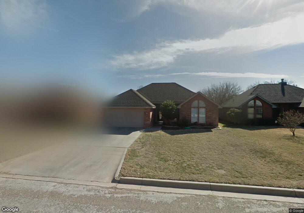
4117 Karen Dr Abilene, TX 79606
Far Southside NeighborhoodEstimated Value: $220,000 - $230,000
3
Beds
2
Baths
1,329
Sq Ft
$170/Sq Ft
Est. Value
About This Home
This home is located at 4117 Karen Dr, Abilene, TX 79606 and is currently estimated at $225,319, approximately $169 per square foot. 4117 Karen Dr is a home located in Taylor County with nearby schools including Wylie West Early Childhood Center, Wylie West Intermediate School, and Wylie West Elementary School.
Ownership History
Date
Name
Owned For
Owner Type
Purchase Details
Closed on
Jul 31, 2019
Sold by
Miller Samantha M
Bought by
Bell James Timothy and Bell Mallory Leann
Current Estimated Value
Home Financials for this Owner
Home Financials are based on the most recent Mortgage that was taken out on this home.
Original Mortgage
$146,074
Outstanding Balance
$128,196
Interest Rate
3.8%
Mortgage Type
VA
Estimated Equity
$97,123
Purchase Details
Closed on
May 5, 2005
Sold by
Hargrave Rickie and Hargrave Sarah
Bought by
Miller Samantha M
Home Financials for this Owner
Home Financials are based on the most recent Mortgage that was taken out on this home.
Original Mortgage
$100,000
Interest Rate
6.06%
Mortgage Type
Purchase Money Mortgage
Create a Home Valuation Report for This Property
The Home Valuation Report is an in-depth analysis detailing your home's value as well as a comparison with similar homes in the area
Home Values in the Area
Average Home Value in this Area
Purchase History
| Date | Buyer | Sale Price | Title Company |
|---|---|---|---|
| Bell James Timothy | -- | National Title Center Inc | |
| Miller Samantha M | -- | None Available |
Source: Public Records
Mortgage History
| Date | Status | Borrower | Loan Amount |
|---|---|---|---|
| Open | Bell James Timothy | $146,074 | |
| Previous Owner | Miller Samantha M | $100,000 |
Source: Public Records
Tax History
| Year | Tax Paid | Tax Assessment Tax Assessment Total Assessment is a certain percentage of the fair market value that is determined by local assessors to be the total taxable value of land and additions on the property. | Land | Improvement |
|---|---|---|---|---|
| 2025 | $3,747 | $212,182 | $20,790 | $191,392 |
| 2023 | $3,747 | $202,161 | $10,560 | $191,601 |
| 2022 | $4,148 | $175,778 | $10,560 | $165,218 |
| 2021 | $3,917 | $152,065 | $10,560 | $141,505 |
| 2020 | $3,649 | $139,335 | $10,560 | $128,775 |
| 2019 | $3,639 | $134,982 | $9,240 | $125,742 |
| 2018 | $3,345 | $133,618 | $9,240 | $124,378 |
| 2017 | $3,226 | $133,788 | $9,240 | $124,548 |
| 2016 | $3,040 | $126,077 | $9,240 | $116,837 |
| 2015 | $2,674 | $124,529 | $9,240 | $115,289 |
| 2014 | $2,674 | $119,038 | $0 | $0 |
Source: Public Records
Map
Nearby Homes
- 4102 Chris Dr
- 7801 Old Forrest Hill Rd
- 7918 Bonnie Cir
- 7967 Bonnie Cir
- 7941 Vita Ct
- 7007 Nikhil Ln
- 4634 Beall Blvd
- 4700 Meadow Dr
- 7234 Buffalo Gap Rd
- 8025 Hearne Dr
- 8049 Scooter Ct
- 4110 Forrest Hill Rd
- 4034 Forrest Hill Rd
- 5001 Buffalo Gap Rd
- 4102 Forrest Hill Rd
- 6939 Forrest Meadows Dr
- 8209 Cimarron
- 6642 Buffalo Gap Rd
- 4617 High Sierra
- 6890 Buffalo Gap Rd
Your Personal Tour Guide
Ask me questions while you tour the home.