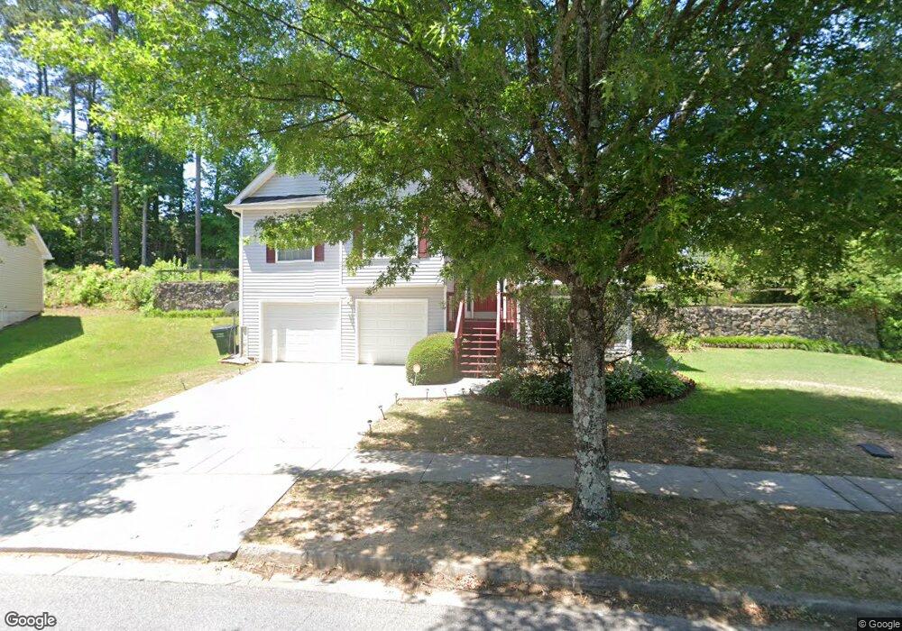
4117 Shoreside Cir Snellville, GA 30039
Estimated Value: $304,000 - $351,000
4
Beds
2
Baths
1,579
Sq Ft
$207/Sq Ft
Est. Value
About This Home
This home is located at 4117 Shoreside Cir, Snellville, GA 30039 and is currently estimated at $326,585, approximately $206 per square foot. 4117 Shoreside Cir is a home located in Gwinnett County with nearby schools including Anderson-Livsey Elementary School, Shiloh Middle School, and Shiloh High School.
Ownership History
Date
Name
Owned For
Owner Type
Purchase Details
Closed on
May 31, 2011
Sold by
Hud & Housing Of Urban Dev
Bought by
Sam Wendy A
Current Estimated Value
Home Financials for this Owner
Home Financials are based on the most recent Mortgage that was taken out on this home.
Original Mortgage
$66,451
Outstanding Balance
$46,323
Interest Rate
4.87%
Mortgage Type
FHA
Estimated Equity
$280,262
Purchase Details
Closed on
Aug 3, 2010
Sold by
Wells Fargo Bk Na
Bought by
Hud-Housing Of Urban Dev
Purchase Details
Closed on
Apr 23, 2003
Sold by
Damascus Homes Llc
Bought by
Zahou Dominique and Zahou Patricia
Home Financials for this Owner
Home Financials are based on the most recent Mortgage that was taken out on this home.
Original Mortgage
$137,738
Interest Rate
5.86%
Mortgage Type
FHA
Create a Home Valuation Report for This Property
The Home Valuation Report is an in-depth analysis detailing your home's value as well as a comparison with similar homes in the area
Home Values in the Area
Average Home Value in this Area
Purchase History
| Date | Buyer | Sale Price | Title Company |
|---|---|---|---|
| Sam Wendy A | $70,501 | -- | |
| Hud-Housing Of Urban Dev | -- | -- | |
| Wells Fargo Bk Na | $128,795 | -- | |
| Zahou Dominique | $139,900 | -- |
Source: Public Records
Mortgage History
| Date | Status | Borrower | Loan Amount |
|---|---|---|---|
| Open | Sam Wendy A | $66,451 | |
| Previous Owner | Zahou Dominique | $137,738 |
Source: Public Records
Tax History Compared to Growth
Tax History
| Year | Tax Paid | Tax Assessment Tax Assessment Total Assessment is a certain percentage of the fair market value that is determined by local assessors to be the total taxable value of land and additions on the property. | Land | Improvement |
|---|---|---|---|---|
| 2024 | $3,757 | $131,520 | $25,800 | $105,720 |
| 2023 | $3,757 | $120,080 | $26,000 | $94,080 |
| 2022 | $3,405 | $116,720 | $24,000 | $92,720 |
| 2021 | $2,667 | $79,520 | $13,840 | $65,680 |
| 2020 | $2,684 | $79,520 | $13,840 | $65,680 |
| 2019 | $2,528 | $75,800 | $13,840 | $61,960 |
| 2018 | $2,273 | $64,080 | $13,840 | $50,240 |
| 2016 | $1,720 | $45,800 | $8,000 | $37,800 |
| 2015 | $1,734 | $45,800 | $8,000 | $37,800 |
| 2014 | $1,232 | $31,520 | $6,000 | $25,520 |
Source: Public Records
Map
Nearby Homes
- 4237 Shoreside Cir Unit 1
- 4111 Wrexham Dr
- 4211 Crestside Ridge
- 3992 Wrexham Dr
- 4331 Wrexham Ct
- 3909 Laurens Ln
- 4107 Round Stone Trail
- 3885 Laurens Ln
- 4212 Medlock River Ct
- 4357 James Wade Dr
- 4262 Mountain Glen Trace
- 3915 Laurel Brook Way Unit 2
- 4184 Red Laurel Way
- 4341 Horder Ct
- 3926 Yosemite Park Ln
- 4311 Marci St
- 4216 Preserve Trail
- 4127 Shoreside Cir Unit 1
- 4107 Shoreside Cir
- 4107 Shoreside Cir SW
- 4094 Huddersfield Dr
- 4116 Shoreside Cir Unit 1
- 4137 Shoreside Cir
- 4084 Huddersfield Dr
- 4106 Shoreside Cir
- 5004 Huddersfield Dr
- 4087 Shoreside Cir Unit 1
- 4086 Shoreside Cir Unit 1
- 4096 Shoreside Cir
- 4147 Shoreside Cir Unit 1
- 4156 Shoreside Cir
- 4074 Huddersfield Dr Unit 2
- 4157 Shoreside Cir Unit 4157
- 4157 Shoreside Cir
- 4077 Shoreside Cir
- 4064 Huddersfield Dr Unit 2
- 4076 Shoreside Cir