4118 Best Station Rd Slatington, PA 18080
Washington Township NeighborhoodEstimated Value: $441,191 - $525,000
3
Beds
3
Baths
1,872
Sq Ft
$256/Sq Ft
Est. Value
About This Home
This home is located at 4118 Best Station Rd, Slatington, PA 18080 and is currently estimated at $478,298, approximately $255 per square foot. 4118 Best Station Rd is a home located in Lehigh County with nearby schools including Deep Creek Central Elementary School, Grassfield Elementary School, and Peters Elementary School.
Ownership History
Date
Name
Owned For
Owner Type
Purchase Details
Closed on
Oct 5, 2000
Sold by
Bobek Michael M and Bobek Rita A
Bought by
Spaar Dennis and Spaar Susan E
Current Estimated Value
Purchase Details
Closed on
Feb 2, 2000
Sold by
Wilson Gaylon L Wilson Gaylon L and Wilson Cheryl J
Bought by
Spaar Dennis D and Spaar Susan E
Purchase Details
Closed on
Nov 23, 1998
Sold by
Dieter Donald and Dieter Susan
Bought by
Wilson Gaylon L and Wilson Cheryl J
Purchase Details
Closed on
Jun 16, 1989
Sold by
Neffs Acres
Bought by
Dieter Donald and Dieter Susan
Purchase Details
Closed on
Sep 15, 1987
Bought by
Neffs Acres
Create a Home Valuation Report for This Property
The Home Valuation Report is an in-depth analysis detailing your home's value as well as a comparison with similar homes in the area
Home Values in the Area
Average Home Value in this Area
Purchase History
| Date | Buyer | Sale Price | Title Company |
|---|---|---|---|
| Spaar Dennis | $18,900 | -- | |
| Spaar Dennis D | $165,000 | -- | |
| Wilson Gaylon L | $156,500 | -- | |
| Dieter Donald | $41,000 | -- | |
| Neffs Acres | $340,000 | -- |
Source: Public Records
Tax History Compared to Growth
Tax History
| Year | Tax Paid | Tax Assessment Tax Assessment Total Assessment is a certain percentage of the fair market value that is determined by local assessors to be the total taxable value of land and additions on the property. | Land | Improvement |
|---|---|---|---|---|
| 2025 | $7,540 | $256,000 | $97,700 | $158,300 |
| 2024 | $7,410 | $256,000 | $97,700 | $158,300 |
| 2023 | $7,206 | $256,000 | $97,700 | $158,300 |
| 2022 | $7,077 | $256,000 | $158,300 | $97,700 |
| 2021 | $6,957 | $256,000 | $97,700 | $158,300 |
| 2020 | $6,808 | $256,000 | $97,700 | $158,300 |
| 2019 | $6,631 | $256,000 | $97,700 | $158,300 |
| 2018 | $6,472 | $256,000 | $97,700 | $158,300 |
| 2017 | $6,453 | $256,000 | $97,700 | $158,300 |
| 2016 | -- | $256,000 | $97,700 | $158,300 |
| 2015 | -- | $256,000 | $97,700 | $158,300 |
| 2014 | -- | $256,000 | $97,700 | $158,300 |
Source: Public Records
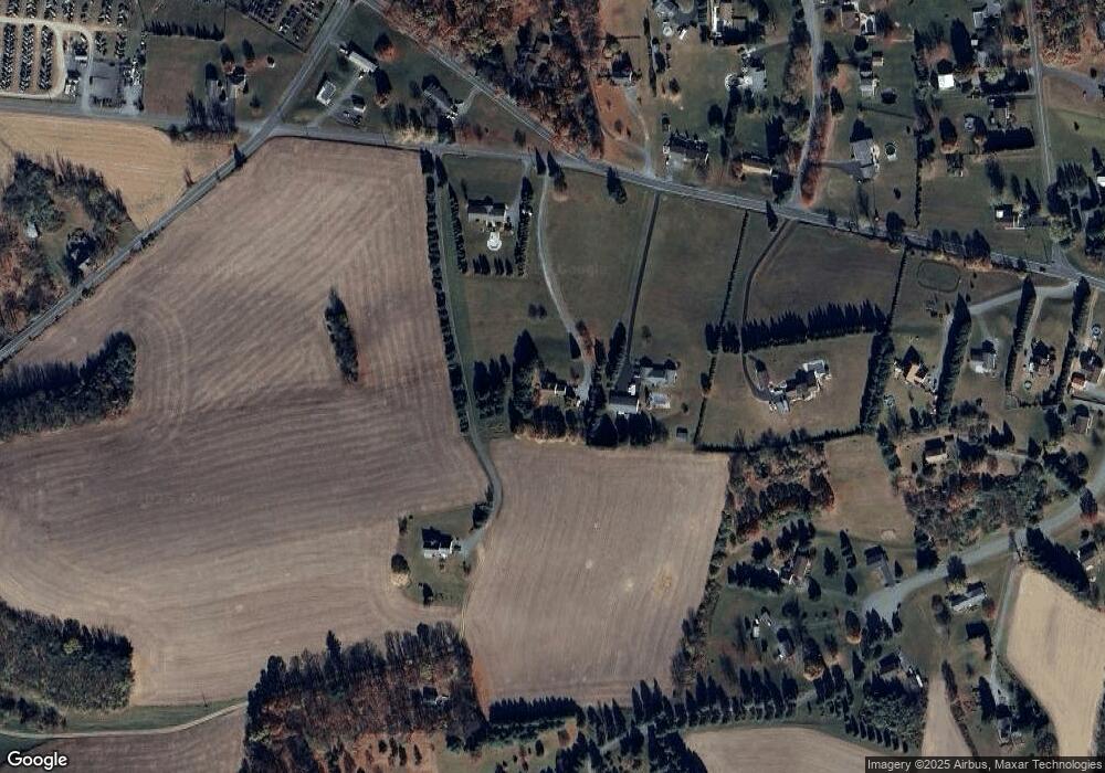
Map
Nearby Homes
- 6752 Old Grange Rd
- 6265 Venture Ct
- 6614 Oak Dr
- 6337 Nisbet Ct
- 6313 Nisbet Ct
- 3511 Timber Ln
- 6210 Hazen Ct
- 3603 Rip Ct
- 6913 Jay St
- 6215 Rachel Dr
- 7108 Pa Route 873
- 5905 Glencrest Blvd
- 5734 Route 873
- 5706 Pennsylvania 873
- 5706 Route 873
- 9170 N Loop Rd
- 3735 Highland Rd
- 5820 Harvest Place
- 5651 Park Valley Rd
- 7759 Center St
- 4060 Best Station Rd
- 4136 Hilldale Rd
- 4140 Hilldale Rd
- 4036 Best Station Rd
- 4061 Best Station Rd
- 4122 Best Station Rd
- 3955 Eagle Cir
- 6789 Lower Ct
- 4067 Best Station Rd
- 4121 Best Station Rd
- 3963 Eagle Cir
- 3996 Best Station Rd
- 3947 Eagle Cir
- 4134 Best Station Rd
- 6781 Lower Ct
- 6709 Lower Ct
- 3935 Eagle Cir
- 6765 Lower Ct
- 6773 Lower Ct
- 3964 Eagle Cir