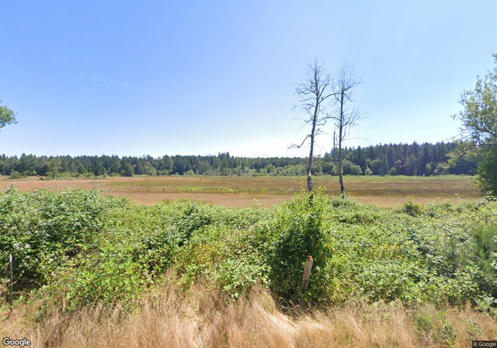
4118 State Route 702 E Eatonville, WA 98328
Estimated Value: $823,000 - $965,000
3
Beds
3
Baths
2,670
Sq Ft
$324/Sq Ft
Est. Value
About This Home
This home is located at 4118 State Route 702 E, Eatonville, WA 98328 and is currently estimated at $865,593, approximately $324 per square foot. 4118 State Route 702 E is a home located in Pierce County with nearby schools including Eatonville High School.
Ownership History
Date
Name
Owned For
Owner Type
Purchase Details
Closed on
Sep 3, 2019
Sold by
Crosetto Candice B
Bought by
Crosetto Candice B
Current Estimated Value
Purchase Details
Closed on
Mar 1, 2016
Sold by
Wagner Kay L
Bought by
Crosetto Jon W and Crosetto Candice B
Home Financials for this Owner
Home Financials are based on the most recent Mortgage that was taken out on this home.
Original Mortgage
$78,600
Interest Rate
3.81%
Mortgage Type
Seller Take Back
Create a Home Valuation Report for This Property
The Home Valuation Report is an in-depth analysis detailing your home's value as well as a comparison with similar homes in the area
Home Values in the Area
Average Home Value in this Area
Purchase History
| Date | Buyer | Sale Price | Title Company |
|---|---|---|---|
| Crosetto Candice B | -- | None Available | |
| Crosetto Jon W | $83,319 | Fatco |
Source: Public Records
Mortgage History
| Date | Status | Borrower | Loan Amount |
|---|---|---|---|
| Closed | Crosetto Jon W | $78,600 |
Source: Public Records
Tax History Compared to Growth
Tax History
| Year | Tax Paid | Tax Assessment Tax Assessment Total Assessment is a certain percentage of the fair market value that is determined by local assessors to be the total taxable value of land and additions on the property. | Land | Improvement |
|---|---|---|---|---|
| 2025 | $6,879 | $741,100 | $374,400 | $366,700 |
| 2024 | $6,879 | $722,700 | $365,000 | $357,700 |
| 2023 | $6,879 | $687,200 | $343,200 | $344,000 |
| 2022 | $5,702 | $704,100 | $321,400 | $382,700 |
| 2021 | $5,703 | $477,000 | $192,900 | $284,100 |
| 2019 | $4,764 | $427,100 | $157,900 | $269,200 |
| 2018 | $5,071 | $421,700 | $166,000 | $255,700 |
| 2017 | $4,468 | $375,500 | $134,600 | $240,900 |
| 2016 | $4,245 | $305,600 | $117,500 | $188,100 |
| 2014 | $4,136 | $291,100 | $109,600 | $181,500 |
| 2013 | $4,136 | $269,100 | $101,800 | $167,300 |
Source: Public Records
Map
Nearby Homes
- 36003 36th Ave E
- 36108 49th Ave E
- 34115 32nd Ave E
- 3507 366th St E
- 34412 Mountain Hwy E
- 36015 28th Ave E
- 36510 Mountain Hwy E
- 35718 59th Avenue Ct E
- 5904 340th St E
- 34404 24th Ave E
- 35120 Kinsman Rd E
- 6303 365th St E
- 36727 24th Avenue Ct E
- 2510 Cascade Dr E
- 1522 347th Street Ct E
- 4309 324th St E
- 36913 68th Ave E
- 32416 Mountain Hwy E
- 36703 Pulford Rd E
- 5202 383rd St E
- 4201 State Route 702 E
- 4122 State Route 702 E
- 3926 State Route 702 E
- 4013 State Route 702 E
- 4115 State Route 702 E
- 3814 Christensen Muck Rd E
- 35016 43rd Ave E
- 35012 43rd Ave E
- 3826 Christensen Muck Rd E
- 35117 38th Avenue Ct E
- 35117 38th Ave E
- 35116 38th Ave E
- 34914 38th Avenue Ct E
- 4314 Washington 702
- 4314 State Route 702 St E
- 4416 State Route 702 E
- 34906 43rd Ave E
- 35110 38th Ave E
- 34910 38th Avenue Ct E
