4119 Captain Molly Cir Unit 84 Doylestown, PA 18902
Plumstead NeighborhoodEstimated Value: $312,000 - $346,000
2
Beds
2
Baths
1,056
Sq Ft
$313/Sq Ft
Est. Value
About This Home
This home is located at 4119 Captain Molly Cir Unit 84, Doylestown, PA 18902 and is currently estimated at $330,780, approximately $313 per square foot. 4119 Captain Molly Cir Unit 84 is a home located in Bucks County with nearby schools including Groveland Elementary School, Tohickon Middle School, and Central Bucks High School-West.
Ownership History
Date
Name
Owned For
Owner Type
Purchase Details
Closed on
Dec 2, 2016
Sold by
Harlan Crystal J and Santiago Crystal J
Bought by
Frank Barry J
Current Estimated Value
Home Financials for this Owner
Home Financials are based on the most recent Mortgage that was taken out on this home.
Original Mortgage
$197,600
Outstanding Balance
$159,558
Interest Rate
3.52%
Mortgage Type
New Conventional
Estimated Equity
$171,222
Purchase Details
Closed on
Nov 30, 2007
Sold by
Kirsche Joseph J and Liss Naomi C
Bought by
Harlan Crystal J
Home Financials for this Owner
Home Financials are based on the most recent Mortgage that was taken out on this home.
Original Mortgage
$180,000
Interest Rate
6.3%
Mortgage Type
Purchase Money Mortgage
Purchase Details
Closed on
Feb 23, 2005
Sold by
Glowacki James
Bought by
Kirsche Joseph J and Liss Naomi C
Home Financials for this Owner
Home Financials are based on the most recent Mortgage that was taken out on this home.
Original Mortgage
$171,200
Interest Rate
5.56%
Mortgage Type
Fannie Mae Freddie Mac
Purchase Details
Closed on
Jul 25, 2002
Sold by
Durkin Patrick M and Curby Megan
Bought by
Glowacki James
Home Financials for this Owner
Home Financials are based on the most recent Mortgage that was taken out on this home.
Original Mortgage
$142,400
Interest Rate
6.61%
Purchase Details
Closed on
May 29, 1998
Sold by
Kantor Michael and Avery Cynthia L
Bought by
Durkin Patrick M and Curby Megan
Home Financials for this Owner
Home Financials are based on the most recent Mortgage that was taken out on this home.
Original Mortgage
$99,700
Interest Rate
7.09%
Mortgage Type
FHA
Purchase Details
Closed on
Jul 27, 1995
Sold by
Patriots Ridge Corp
Bought by
Kantor Michael and Avery Cynthia L
Home Financials for this Owner
Home Financials are based on the most recent Mortgage that was taken out on this home.
Original Mortgage
$93,500
Interest Rate
7.56%
Create a Home Valuation Report for This Property
The Home Valuation Report is an in-depth analysis detailing your home's value as well as a comparison with similar homes in the area
Home Values in the Area
Average Home Value in this Area
Purchase History
| Date | Buyer | Sale Price | Title Company |
|---|---|---|---|
| Frank Barry J | $208,000 | Fidelity Natl Title Ins Co | |
| Harlan Crystal J | $225,000 | First Amer Title Ins Stan | |
| Kirsche Joseph J | $214,000 | First American Title Ins Co | |
| Glowacki James | $149,900 | -- | |
| Durkin Patrick M | $103,000 | First American Title Ins Co | |
| Kantor Michael | $98,927 | -- |
Source: Public Records
Mortgage History
| Date | Status | Borrower | Loan Amount |
|---|---|---|---|
| Open | Frank Barry J | $197,600 | |
| Previous Owner | Harlan Crystal J | $180,000 | |
| Previous Owner | Kirsche Joseph J | $171,200 | |
| Previous Owner | Glowacki James | $142,400 | |
| Previous Owner | Durkin Patrick M | $99,700 | |
| Previous Owner | Kantor Michael | $93,500 |
Source: Public Records
Tax History Compared to Growth
Tax History
| Year | Tax Paid | Tax Assessment Tax Assessment Total Assessment is a certain percentage of the fair market value that is determined by local assessors to be the total taxable value of land and additions on the property. | Land | Improvement |
|---|---|---|---|---|
| 2025 | $3,454 | $19,880 | -- | $19,880 |
| 2024 | $3,454 | $19,880 | $0 | $19,880 |
| 2023 | $3,344 | $19,880 | $0 | $19,880 |
| 2022 | $3,307 | $19,880 | $0 | $19,880 |
| 2021 | $3,270 | $19,880 | $0 | $19,880 |
| 2020 | $3,270 | $19,880 | $0 | $19,880 |
| 2019 | $3,250 | $19,880 | $0 | $19,880 |
| 2018 | $3,250 | $19,880 | $0 | $19,880 |
| 2017 | $3,205 | $19,880 | $0 | $19,880 |
| 2016 | $3,205 | $19,880 | $0 | $19,880 |
| 2015 | -- | $19,880 | $0 | $19,880 |
| 2014 | -- | $19,880 | $0 | $19,880 |
Source: Public Records
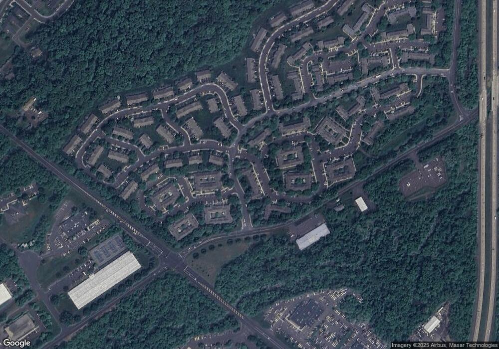
Map
Nearby Homes
- 5415 Rinker Cir Unit 256
- 5513 Rinker Cir Unit 349
- 3769 Swetland Dr
- 3723 William Daves Rd
- 3765 William Daves Rd
- 3688 Christopher Day Rd
- 3600 Jacob Stout Rd Unit 3
- 3822 Jacob Stout Rd
- 3669 Jacob Stout Rd Unit 8
- 194 Victoria Ct Unit 143
- 301 Windy Run Rd
- 4893 W Swamp Rd Unit A
- 1 Stacey Dr
- 14 Broadale Rd
- 5 Broadale Rd
- 925 E Sandy Ridge Rd
- 16 John Dyer Way
- 4223 Ferguson Dr
- 90 Chapman Ave
- 6 Edison Ln Unit 1
- 4119 Captain Molly Cir Unit AIN
- 4117 Captain Molly Cir Unit 85
- 4117 Captain Molly Cir Unit AIN
- 4121 Captain Molly Cir Unit 83
- 4121 Captain Molly Cir Unit AIN
- 4123 Captain Molly Cir Unit 82
- 4115 Captain Molly Cir Unit 86
- 4125 Captain Molly Cir Unit 81
- 4125 Captain Molly Cir Unit AIN
- 4113 Captain Molly Cir Unit 87
- 4113 Captain Molly Cir Unit AIN
- 4111 Captain Molly Cir Unit 88
- 4109 Captain Molly Cir Unit 89
- 4109 Captain Molly Cir Unit AIN
- 4107 Captain Molly Cir Unit 90
- 4107 Captain Molly Cir Unit AIN
- 4105 Captain Molly Cir Unit 91
- 4105 Captain Molly Cir Unit AIN
- 4103 Captain Molly Cir Unit 92
- 4101 Captain Molly Cir Unit AIN