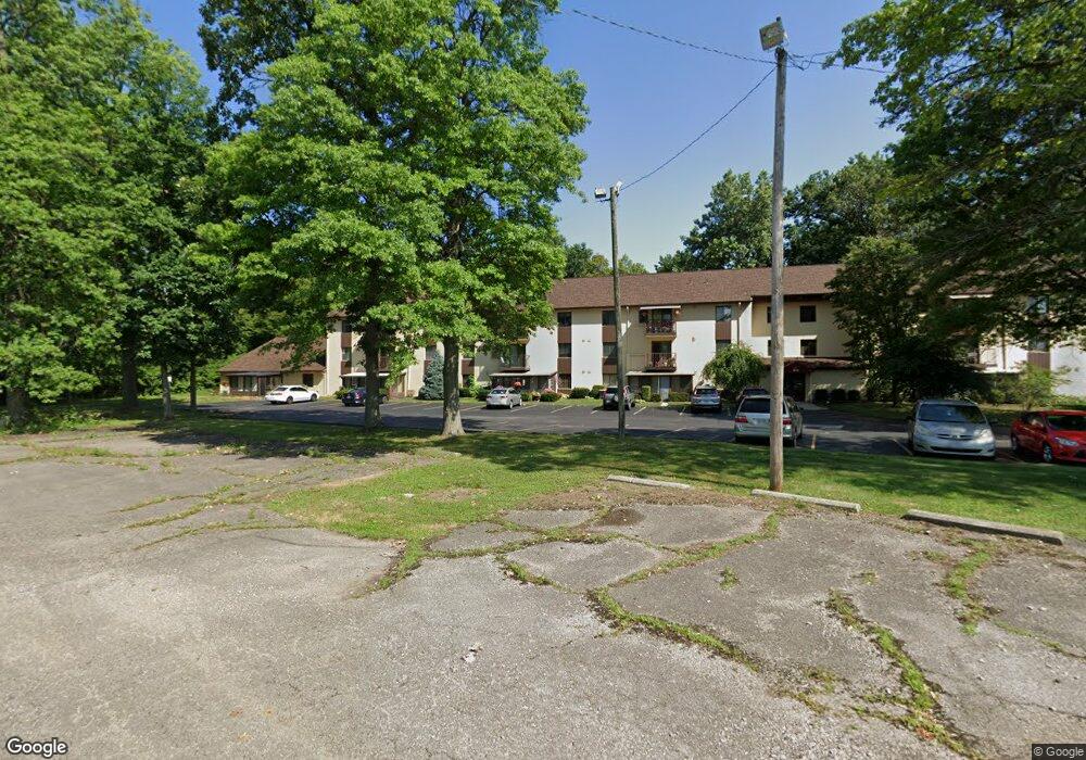
4119 Karl Rd Unit C207 Columbus, OH 43224
Clinton Estates NeighborhoodEstimated Value: $94,964 - $133,000
2
Beds
2
Baths
966
Sq Ft
$109/Sq Ft
Est. Value
About This Home
This home is located at 4119 Karl Rd Unit C207, Columbus, OH 43224 and is currently estimated at $104,991, approximately $108 per square foot. 4119 Karl Rd Unit C207 is a home located in Franklin County with nearby schools including Maize Road Elementary School, Medina Middle School, and Mifflin High School.
Ownership History
Date
Name
Owned For
Owner Type
Purchase Details
Closed on
Oct 14, 2009
Sold by
Chevalier Louise
Bought by
Wymer John P and Wymer Wanda L
Current Estimated Value
Purchase Details
Closed on
Dec 15, 2000
Sold by
Burnett Frances L
Bought by
Chevalier Louise
Purchase Details
Closed on
Apr 30, 1997
Sold by
Innis Anna E
Bought by
Burnett Frances L
Purchase Details
Closed on
Jul 17, 1991
Create a Home Valuation Report for This Property
The Home Valuation Report is an in-depth analysis detailing your home's value as well as a comparison with similar homes in the area
Home Values in the Area
Average Home Value in this Area
Purchase History
| Date | Buyer | Sale Price | Title Company |
|---|---|---|---|
| Wymer John P | -- | Talon Group | |
| Chevalier Louise | $30,000 | -- | |
| Burnett Frances L | $53,000 | Stewart Title | |
| -- | -- | -- |
Source: Public Records
Tax History Compared to Growth
Tax History
| Year | Tax Paid | Tax Assessment Tax Assessment Total Assessment is a certain percentage of the fair market value that is determined by local assessors to be the total taxable value of land and additions on the property. | Land | Improvement |
|---|---|---|---|---|
| 2024 | $591 | $22,970 | $4,730 | $18,240 |
| 2023 | $611 | $22,960 | $4,725 | $18,235 |
| 2022 | $263 | $13,830 | $1,650 | $12,180 |
| 2021 | $264 | $13,830 | $1,650 | $12,180 |
| 2020 | $264 | $13,830 | $1,650 | $12,180 |
| 2019 | $92 | $10,260 | $1,230 | $9,030 |
| 2018 | $46 | $10,260 | $1,230 | $9,030 |
| 2017 | $92 | $10,260 | $1,230 | $9,030 |
| 2016 | $0 | $8,230 | $1,790 | $6,440 |
| 2015 | -- | $8,230 | $1,790 | $6,440 |
| 2014 | $46 | $8,230 | $1,790 | $6,440 |
| 2013 | $46 | $10,290 | $2,240 | $8,050 |
Source: Public Records
Map
Nearby Homes
- 4143 Karl Rd Unit 314
- 4145 Karl Rd Unit 4222
- 4145 Karl Rd Unit 223
- 1398 Matthias Dr
- 3941 Karl Rd Unit 326
- 3939 Karl Rd Unit 108
- 4057 Estates Place
- 1440 E Cooke Rd
- 1130 Carbone Dr
- 1496 E Cooke Rd
- 1734 Ferris Rd
- 1064 Hillsdale Dr
- 4441 Wetmore Rd E
- 3749 Ganson Dr
- 1507 Elmore Ave
- 3750 Dresden St
- 958 Janet Dr
- 1071 Loring Rd
- 3938 Eisenhower Rd
- 4761 Colonel Perry Dr
- 4119 Karl Rd Unit 204C
- 4119 Karl Rd Unit C301
- 4119 Karl Rd Unit C110
- 4119 Karl Rd Unit C306
- 4119 Karl Rd Unit C308
- 4119 Karl Rd
- 4119 Karl Rd Unit C100
- 4119 Karl Rd Unit 109
- 4119 Karl Rd Unit C201
- 4119 Karl Rd
- 4119 Karl Rd
- 4119 Karl Rd
- 4119 Karl Rd
- 4119 Karl Rd Unit C307
- 4119 Karl Rd
- 4119 Karl Rd
- 4119 Karl Rd
- 4119 Karl Rd
- 4119 Karl Rd
- 4119 Karl Rd Unit C107