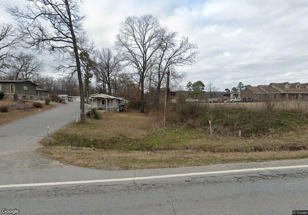
4119 Malvern Rd Hot Springs National Park, AR 71901
Estimated Value: $328,000 - $1,259,000
3
Beds
2
Baths
1,862
Sq Ft
$426/Sq Ft
Est. Value
About This Home
This home is located at 4119 Malvern Rd, Hot Springs National Park, AR 71901 and is currently estimated at $793,500, approximately $426 per square foot. 4119 Malvern Rd is a home located in Garland County with nearby schools including Lakeside Primary School, Lakeside Intermediate School, and Lakeside Middle School.
Ownership History
Date
Name
Owned For
Owner Type
Purchase Details
Closed on
Mar 3, 2007
Sold by
Not Provided
Bought by
Wy Jeremy and Bownds Kendra
Current Estimated Value
Purchase Details
Closed on
Sep 21, 2006
Sold by
Not Provided
Bought by
Denham Allen
Purchase Details
Closed on
May 3, 2006
Sold by
Not Provided
Bought by
Lafont Sherry
Purchase Details
Closed on
Oct 7, 2005
Sold by
Not Provided
Bought by
Wood Richard D
Purchase Details
Closed on
Jul 3, 2005
Sold by
Not Provided
Bought by
Cogburn Frances
Purchase Details
Closed on
Oct 5, 2004
Sold by
Not Provided
Bought by
Patton Garey Steve
Create a Home Valuation Report for This Property
The Home Valuation Report is an in-depth analysis detailing your home's value as well as a comparison with similar homes in the area
Home Values in the Area
Average Home Value in this Area
Purchase History
| Date | Buyer | Sale Price | Title Company |
|---|---|---|---|
| Wy Jeremy | -- | -- | |
| Denham Allen | -- | -- | |
| Lafont Sherry | -- | -- | |
| Wood Richard D | -- | -- | |
| Cogburn Frances | -- | -- | |
| Patton Garey Steve | -- | -- |
Source: Public Records
Tax History Compared to Growth
Tax History
| Year | Tax Paid | Tax Assessment Tax Assessment Total Assessment is a certain percentage of the fair market value that is determined by local assessors to be the total taxable value of land and additions on the property. | Land | Improvement |
|---|---|---|---|---|
| 2025 | $9,971 | $221,840 | $39,980 | $181,860 |
| 2024 | $9,089 | $220,480 | $39,980 | $180,500 |
| 2023 | $8,399 | $220,480 | $39,980 | $180,500 |
| 2022 | $7,702 | $218,820 | $39,980 | $178,840 |
| 2021 | $6,963 | $153,700 | $33,980 | $119,720 |
| 2020 | $6,789 | $149,860 | $33,980 | $115,880 |
| 2019 | $6,789 | $149,860 | $33,980 | $115,880 |
| 2018 | $5,066 | $122,660 | $33,980 | $88,680 |
Source: Public Records
Map
Nearby Homes
- TBD Malvern Rd Unit Tract B
- 171 Maewood Dr
- 204 Leatherwood Loop
- 149 Parkshores Cir
- 137 Parkshores Cir
- 270 Scroggins Terrace
- 186 Vanadium Cir
- 207 Merganser Trail
- 3.71 ac. Akers Rd
- 203 Merganser Trail
- 102 Willman Square
- 110 Circle r Ct
- 149 Scenic Dr
- 220 Chadwood St
- 248 Elmwood Dr
- 132 Victoria Ln
- xxx Rivermist Point
- 109 Morning Star Ln
- 4121 Malvern Rd
- 4115 Malvern Rd
- 31 Parkshores Rd
- 27 Parkshores Rd
- 17 Parkshores Rd
- 21 Parkshores Rd
- 4122 Malvern Rd
- 106 Social Place
- 105 Parkshores Rd
- TBD Malvern Rd
- 191 Maewood Dr
- 4124 Malvern Rd
- 112 Parkshores Rd
- 26 Parkshores Rd
- 20 Parkshores Rd
- 111 Parkshores Rd
- 4134 Malvern Rd
- 0 Parkshores Rd
- 140 Social Place
- 133 Social Place