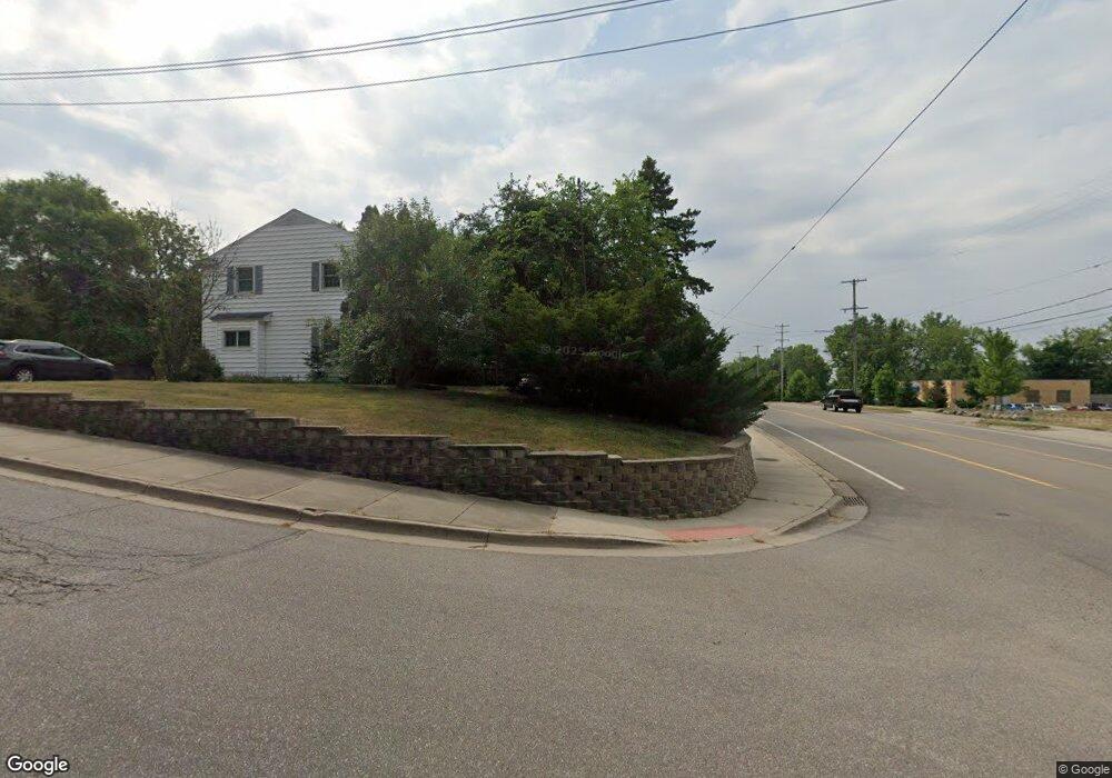
4119 Robert St NE Comstock Park, MI 49321
Estimated Value: $231,294 - $297,000
2
Beds
1
Bath
1
Sq Ft
$275,574/Sq Ft
Est. Value
About This Home
This home is located at 4119 Robert St NE, Comstock Park, MI 49321 and is currently estimated at $275,574, approximately $275,574 per square foot. 4119 Robert St NE is a home located in Kent County with nearby schools including Stoney Creek Elementary School, Pine Island Elementary School, and Mill Creek Middle School.
Ownership History
Date
Name
Owned For
Owner Type
Purchase Details
Closed on
Feb 14, 1997
Sold by
Lacharite Kirk A
Bought by
Brookens Teri S and Brookens Teri S
Current Estimated Value
Purchase Details
Closed on
Jun 1, 1993
Bought by
Lacharite Kirk A and Brookens Teri S
Purchase Details
Closed on
Sep 21, 1990
Bought by
Lacharite Kirk A and Brookens Teri S
Purchase Details
Closed on
Jan 1, 1985
Create a Home Valuation Report for This Property
The Home Valuation Report is an in-depth analysis detailing your home's value as well as a comparison with similar homes in the area
Home Values in the Area
Average Home Value in this Area
Purchase History
| Date | Buyer | Sale Price | Title Company |
|---|---|---|---|
| Brookens Teri S | $77,400 | -- | |
| Lacharite Kirk A | $58,000 | -- | |
| Lacharite Kirk A | $54,900 | -- | |
| -- | $31,000 | -- |
Source: Public Records
Tax History Compared to Growth
Tax History
| Year | Tax Paid | Tax Assessment Tax Assessment Total Assessment is a certain percentage of the fair market value that is determined by local assessors to be the total taxable value of land and additions on the property. | Land | Improvement |
|---|---|---|---|---|
| 2025 | $1,265 | $98,200 | $0 | $0 |
| 2024 | $1,265 | $86,100 | $0 | $0 |
| 2023 | $1,209 | $76,100 | $0 | $0 |
| 2022 | $1,151 | $71,000 | $0 | $0 |
| 2021 | $1,438 | $58,200 | $0 | $0 |
| 2020 | $1,110 | $46,300 | $0 | $0 |
| 2019 | $1,375 | $39,700 | $0 | $0 |
| 2018 | $1,375 | $39,100 | $0 | $0 |
| 2017 | $1,340 | $47,000 | $0 | $0 |
| 2016 | $1,600 | $46,100 | $0 | $0 |
| 2015 | $1,598 | $46,100 | $0 | $0 |
| 2013 | -- | $43,400 | $0 | $0 |
Source: Public Records
Map
Nearby Homes
- Wilshire Plan at The Range
- Remington Plan at The Range
- Linden Plan at The Range
- Enclave Plan at The Range
- Croswell Plan at The Range
- Cascade Plan at The Range
- Carson Plan at The Range
- Avery Plan at The Range
- Ashton Plan at The Range
- Andover Plan at The Range
- 981 Ellerston St NW
- 134 Mabel St NW
- 211 York View Place NW
- 510 Clark St NW
- 264 Mabel St NW Unit 55
- 276 Mabel St NW Unit 54
- 236 4 Mile Rd NW
- 4010 Woodrush Ln NW Unit 40
- 4154 Woodrush Ln NW Unit 65
- 3903 Willow Dr NE
- 43 Betty St NE
- 35 Betty St NE
- 4131 Robert St NE
- 21 Lamoreaux Dr NE
- 25 Lamoreaux Dr NE
- 17 Lamoreaux Dr NE
- 53 Betty St NE
- 13 Lamoreaux Dr NE
- 29 Lamoreaux Dr NE
- 4118 Robert St NE
- 4124 Robert St NE
- 29 Lamoreaux Dr NE
- 4132 Robert St NE
- 4151 Robert St NE
- 9 Lamoreaux Dr NE
- 9 Lamoreaux Dr NE
- 59 Betty St NE
- 5 Lamoreaux Dr NE
- 4158 Bud Dr NE
- 4159 Robert St NE