Estimated Value: $354,276
--
Bed
--
Bath
4,250
Sq Ft
$83/Sq Ft
Est. Value
About This Home
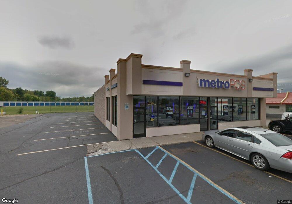
This home is located at 4119 W Pierson Rd, Flint, MI 48504 and is currently estimated at $354,276, approximately $83 per square foot. 4119 W Pierson Rd is a home located in Genesee County with nearby schools including Col. Donald McMonagle Elementary School, Hamady Community Middle/High School, and Eagle's Nest Academy.
Ownership History
Date
Name
Owned For
Owner Type
Purchase Details
Closed on
Aug 19, 2022
Sold by
Mount Morris Estate Llc
Bought by
Flint My Building Llc
Current Estimated Value
Home Financials for this Owner
Home Financials are based on the most recent Mortgage that was taken out on this home.
Original Mortgage
$225,000
Outstanding Balance
$214,747
Interest Rate
5.3%
Mortgage Type
New Conventional
Estimated Equity
$139,529
Purchase Details
Closed on
Sep 3, 2008
Sold by
Baldwin Brothers Inc
Bought by
Mount Morris Estate Llc
Purchase Details
Closed on
Jun 5, 2008
Sold by
Artwald Properties Llc
Bought by
Balcorp Inc
Purchase Details
Closed on
Jul 14, 2004
Sold by
Artwald Llc
Bought by
Yost Michael and Yost Kevin
Create a Home Valuation Report for This Property
The Home Valuation Report is an in-depth analysis detailing your home's value as well as a comparison with similar homes in the area
Home Values in the Area
Average Home Value in this Area
Purchase History
| Date | Buyer | Sale Price | Title Company |
|---|---|---|---|
| Flint My Building Llc | $300,000 | None Listed On Document | |
| Mount Morris Estate Llc | -- | Guaranty Title Company | |
| Balcorp Inc | -- | None Available | |
| Yost Michael | $175,000 | Cislo Title Company |
Source: Public Records
Mortgage History
| Date | Status | Borrower | Loan Amount |
|---|---|---|---|
| Open | Flint My Building Llc | $225,000 |
Source: Public Records
Tax History Compared to Growth
Tax History
| Year | Tax Paid | Tax Assessment Tax Assessment Total Assessment is a certain percentage of the fair market value that is determined by local assessors to be the total taxable value of land and additions on the property. | Land | Improvement |
|---|---|---|---|---|
| 2025 | $11,687 | $201,100 | $0 | $0 |
| 2024 | $2,198 | $191,400 | $0 | $0 |
| 2023 | $2,124 | $184,600 | $0 | $0 |
| 2022 | $7,655 | $181,400 | $0 | $0 |
| 2021 | $7,613 | $181,400 | $0 | $0 |
| 2020 | $1,411 | $176,100 | $0 | $0 |
| 2019 | $1,389 | $174,700 | $0 | $0 |
| 2018 | $7,142 | $162,100 | $0 | $0 |
| 2017 | $6,892 | $156,200 | $0 | $0 |
| 2016 | $6,831 | $135,900 | $0 | $0 |
| 2015 | $6,693 | $113,800 | $0 | $0 |
| 2014 | $1,281 | $111,300 | $0 | $0 |
| 2012 | -- | $107,600 | $23,400 | $84,200 |
Source: Public Records
Map
Nearby Homes
- 4184 W Pierson Rd
- 4039 Oconner Rd
- 4333 Pierson Rd
- 00 Pineshore
- 4217 Oconner Rd
- 3213 N Jennings Rd
- 4497 W Pierson Rd
- 0 Gracelawn Ave
- VL W Parkway Ave
- 5023 W Pierson Rd
- 3429 W Pasadena Ave
- 0 W Carpenter Rd
- VL N Linden Rd
- 3145 Raywood St
- 3330 Maywood Dr
- 5095 Camborne Ct
- 5109 Killian Ct
- 4379 Tillie Dr
- 3084 Roanoke St
- 5234 Kelly Rd
- 6367 Pierson Rd
- 4134 W Pierson Rd
- 4040 Dolan Dr
- 4120 W Pierson Rd
- 4100 W Pierson Rd
- 4054 Dolan Dr
- 3507 N Jennings Rd
- 0 Dolan Dr
- 4028 W Pierson
- 4086 Dolan Dr
- 3409 N Jennings Rd
- 3501 N Jennings Rd
- 3481 N Jennings Rd
- 3487 N Jennings Rd
- 4087 N Jennings Rd
- 4087 N Jennings Rd
- 4087 N Jennings Rd
- 3449 N Jennings Rd
- 4110 Dolan Dr
- 3395 N Jennings Rd