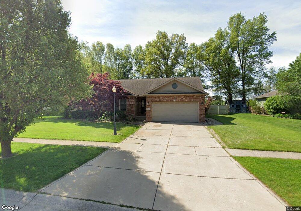
4119 Westwood Ln S Chesterton, IN 46304
Estimated Value: $367,505 - $393,000
3
Beds
2
Baths
1,764
Sq Ft
$216/Sq Ft
Est. Value
About This Home
This home is located at 4119 Westwood Ln S, Chesterton, IN 46304 and is currently estimated at $381,876, approximately $216 per square foot. 4119 Westwood Ln S is a home located in Porter County with nearby schools including Liberty Elementary School, Liberty Intermediate School, and Chesterton Middle School.
Ownership History
Date
Name
Owned For
Owner Type
Purchase Details
Closed on
Jul 11, 2007
Sold by
Midwest Builders Llc
Bought by
Stack Gerald and Stack Sharon
Current Estimated Value
Home Financials for this Owner
Home Financials are based on the most recent Mortgage that was taken out on this home.
Original Mortgage
$55,000
Interest Rate
6.54%
Mortgage Type
Purchase Money Mortgage
Purchase Details
Closed on
Apr 18, 2005
Sold by
Dtm Properties Llc
Bought by
Midwest Builders Llc
Create a Home Valuation Report for This Property
The Home Valuation Report is an in-depth analysis detailing your home's value as well as a comparison with similar homes in the area
Home Values in the Area
Average Home Value in this Area
Purchase History
| Date | Buyer | Sale Price | Title Company |
|---|---|---|---|
| Stack Gerald | -- | Chicago Title Insurance Co | |
| Midwest Builders Llc | -- | Ticor Title Insurance |
Source: Public Records
Mortgage History
| Date | Status | Borrower | Loan Amount |
|---|---|---|---|
| Closed | Stack Gerald | $55,000 |
Source: Public Records
Tax History Compared to Growth
Tax History
| Year | Tax Paid | Tax Assessment Tax Assessment Total Assessment is a certain percentage of the fair market value that is determined by local assessors to be the total taxable value of land and additions on the property. | Land | Improvement |
|---|---|---|---|---|
| 2024 | $3,947 | $360,900 | $51,100 | $309,800 |
| 2023 | $3,927 | $352,800 | $48,500 | $304,300 |
| 2022 | $3,486 | $311,200 | $48,500 | $262,700 |
| 2021 | $3,271 | $290,600 | $48,500 | $242,100 |
| 2020 | $3,056 | $271,800 | $42,300 | $229,500 |
| 2019 | $2,920 | $259,900 | $42,300 | $217,600 |
| 2018 | $2,811 | $250,400 | $42,300 | $208,100 |
| 2017 | $2,865 | $255,100 | $42,300 | $212,800 |
| 2016 | $2,937 | $263,400 | $42,800 | $220,600 |
| 2014 | $2,775 | $249,500 | $40,100 | $209,400 |
| 2013 | -- | $240,100 | $41,000 | $199,100 |
Source: Public Records
Map
Nearby Homes
- 2513 Springdale St
- 2141 Larchwood Ave
- 2131 Pepperbush Ave
- 0 St Rd 149 Unit NRA824925
- 1461 Eagle St
- 3585 Drivers Way
- 3525 Drivers Way
- 237 Cessna Dr
- TBD Lenburg Rd
- 0-TBD Lenburg Rd
- V/L U S 20
- 283 Melton Rd
- 2500 Pradera Trail
- 2375 Arrow St
- 2420 Pradera Trail
- The Duneland Plan at Village in Burns Harbor
- 2299 Pradera Trail
- The Willow Plan at The 1100 Woods
- The Madeleine Plan at The 1100 Woods
- The Basset Grove Plan at The 1100 Woods
- 4141 Westwood Ln S
- 4111 Westwood Ln S
- 4120 Westwood Ln S
- 4161 Westwood Ln S
- 2620 Pinehurst Ave
- 4102 Westwood Ln S
- 4150 Westwood Ln S
- 2670 Pinehurst Ave
- 4171 Westwood Ln S
- 4170 Westwood Ln S
- 2690 Pinehurst Ave
- 2570 Pinehurst Ave
- 4180 Westwood Ln S
- 4091 Westwood Ln S
- 4201 Westwood Ln S
- 2591 Pinehurst Ave
- 2702 Pinehurst Ave
- 2651 Pinehurst Ave
- 2540 Pinehurst Ave
- 2571 Pinehurst Ave