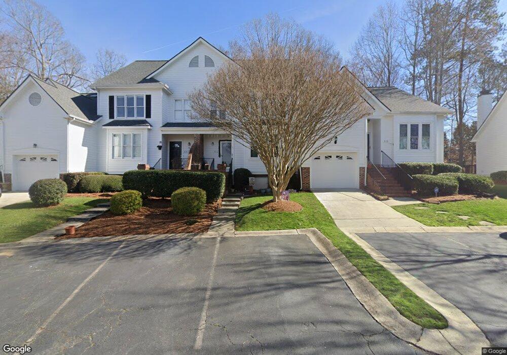
412 Center Pointe Dr Cary, NC 27513
West Cary NeighborhoodEstimated Value: $324,000 - $353,000
2
Beds
2
Baths
1,453
Sq Ft
$233/Sq Ft
Est. Value
About This Home
This home is located at 412 Center Pointe Dr, Cary, NC 27513 and is currently estimated at $339,250, approximately $233 per square foot. 412 Center Pointe Dr is a home located in Wake County with nearby schools including Laurel Park Elementary, Salem Middle, and Green Hope High.
Ownership History
Date
Name
Owned For
Owner Type
Purchase Details
Closed on
May 8, 2013
Sold by
Smith Joseph A and Smith Alicia H
Bought by
Dubash Michael W and Dubash Jessica L
Current Estimated Value
Home Financials for this Owner
Home Financials are based on the most recent Mortgage that was taken out on this home.
Original Mortgage
$129,000
Outstanding Balance
$91,246
Interest Rate
3.44%
Mortgage Type
New Conventional
Estimated Equity
$248,004
Create a Home Valuation Report for This Property
The Home Valuation Report is an in-depth analysis detailing your home's value as well as a comparison with similar homes in the area
Home Values in the Area
Average Home Value in this Area
Purchase History
| Date | Buyer | Sale Price | Title Company |
|---|---|---|---|
| Dubash Michael W | $146,000 | None Available |
Source: Public Records
Mortgage History
| Date | Status | Borrower | Loan Amount |
|---|---|---|---|
| Open | Dubash Michael W | $129,000 |
Source: Public Records
Tax History
| Year | Tax Paid | Tax Assessment Tax Assessment Total Assessment is a certain percentage of the fair market value that is determined by local assessors to be the total taxable value of land and additions on the property. | Land | Improvement |
|---|---|---|---|---|
| 2025 | $3,048 | $353,330 | $105,000 | $248,330 |
| 2024 | $2,983 | $353,330 | $105,000 | $248,330 |
Source: Public Records
Map
Nearby Homes
- 314 Vinca Cir
- 102 Korbel Place
- 209 Kronos Ln
- 107 Romaine Ct
- 112 Romaine Ct
- 113 Smokemont Dr
- 1016 Kilarney Ridge Loop
- 3040 Kilarney Ridge Loop
- 224 Amberglow Place
- 316 Trafalgar Ln
- 728 Blossom Bay Ln
- 113 Ravenna Way
- 802 New Derby Ln
- 1529 Salem Church Rd
- 417 Applecross Dr
- 864 Bay Bouquet Ln
- 103 Inverness Ct
- 900 Bay Bouquet Ln
- 115 Inverness Ct
- 116 Inverness Ct
- 414 Center Pointe Dr
- 410 Center Pointe Dr
- 416 Center Pointe Dr
- 406 Center Pointe Dr
- 404 Center Pointe Dr
- 420 Center Pointe Dr
- 402 Center Pointe Dr
- 422 Center Pointe Dr
- 407 Center Pointe Dr
- 400 Center Pointe Dr
- 424 Center Pointe Dr
- 405 Center Pointe Dr
- 403 Center Pointe Dr
- 426 Center Pointe Dr
- 401 Center Pointe Dr
- 330 Center Pointe Dr
- 217 Pointe Crest Ct
- 215 Pointe Crest Ct
- 430 Center Pointe Dr
- 328 Center Pointe Dr