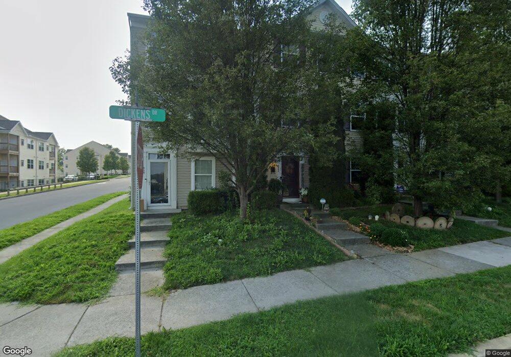
412 Dickens Dr Lancaster, PA 17603
Meadia Heights NeighborhoodEstimated Value: $282,000 - $329,000
3
Beds
3
Baths
2,080
Sq Ft
$144/Sq Ft
Est. Value
About This Home
This home is located at 412 Dickens Dr, Lancaster, PA 17603 and is currently estimated at $300,168, approximately $144 per square foot. 412 Dickens Dr is a home located in Lancaster County with nearby schools including Elizabeth R Martin Elementary School, Wheatland Middle School, and McCaskey High School.
Ownership History
Date
Name
Owned For
Owner Type
Purchase Details
Closed on
Jan 28, 2021
Sold by
Us Home Corporation
Bought by
Township Of Lancaster
Current Estimated Value
Purchase Details
Closed on
Jun 16, 2010
Sold by
U S Home Corporation
Bought by
Woodward Jeffrey Wade and Woodward Lori Susann
Home Financials for this Owner
Home Financials are based on the most recent Mortgage that was taken out on this home.
Original Mortgage
$119,556
Interest Rate
4.5%
Mortgage Type
FHA
Create a Home Valuation Report for This Property
The Home Valuation Report is an in-depth analysis detailing your home's value as well as a comparison with similar homes in the area
Home Values in the Area
Average Home Value in this Area
Purchase History
| Date | Buyer | Sale Price | Title Company |
|---|---|---|---|
| Township Of Lancaster | -- | None Listed On Document | |
| Woodward Jeffrey Wade | $126,990 | North American Title Company |
Source: Public Records
Mortgage History
| Date | Status | Borrower | Loan Amount |
|---|---|---|---|
| Previous Owner | Woodward Jeffrey Wade | $119,556 |
Source: Public Records
Tax History
| Year | Tax Paid | Tax Assessment Tax Assessment Total Assessment is a certain percentage of the fair market value that is determined by local assessors to be the total taxable value of land and additions on the property. | Land | Improvement |
|---|---|---|---|---|
| 2025 | $4,075 | $141,300 | $23,800 | $117,500 |
| 2024 | $4,075 | $141,300 | $23,800 | $117,500 |
| 2023 | $3,981 | $141,300 | $23,800 | $117,500 |
| 2022 | $3,744 | $141,300 | $23,800 | $117,500 |
| 2021 | $3,631 | $141,300 | $23,800 | $117,500 |
| 2020 | $3,631 | $141,300 | $23,800 | $117,500 |
| 2019 | $3,553 | $141,300 | $23,800 | $117,500 |
| 2018 | $2,577 | $141,300 | $23,800 | $117,500 |
| 2017 | $3,518 | $107,600 | $14,800 | $92,800 |
| 2016 | $3,453 | $107,600 | $14,800 | $92,800 |
| 2015 | $466 | $107,600 | $14,800 | $92,800 |
| 2014 | $2,443 | $107,600 | $14,800 | $92,800 |
Source: Public Records
Map
Nearby Homes
- 268 Kentshire Dr
- 270 Kentshire Dr
- 407 Elmshire Dr
- 121 Hillard
- 118 Hillard
- 622 S Pearl St
- 636 Bean Hill Rd
- 846 Marjory Terrace
- 1626 Chadwick Cir
- 449 Hershey Ave
- 706 Fairview Ave
- 870 Hilton Dr
- 1244 High St
- 65 Mill Pond Dr
- 610 S Prince St
- 304 Hazel St
- 559 S Prince St
- 108 S Pearl St
- 327 Hazel St
- 10 Cold Stream Dr
- 414 Dickens Dr
- 414 Dickens Dr Unit 234
- 410 Dickens Dr
- 416 Dickens Dr
- 3 Salvatore Ct
- 5 Salvatore Ct
- 1 Salvatore Ct
- 7 Salvatore Ct
- 413 Dickens Dr
- 413 Dickens Dr Unit 1180
- 415 Dickens Dr
- 226 Kentshire Dr
- 228 Kentshire Dr
- 411 Dickens Dr
- 224 Kentshire Dr
- 417 Dickens Dr
- 222 Kentshire Dr
- 220 Kentshire Dr
- 409 Dickens Dr
- 230 Kentshire Dr
Your Personal Tour Guide
Ask me questions while you tour the home.