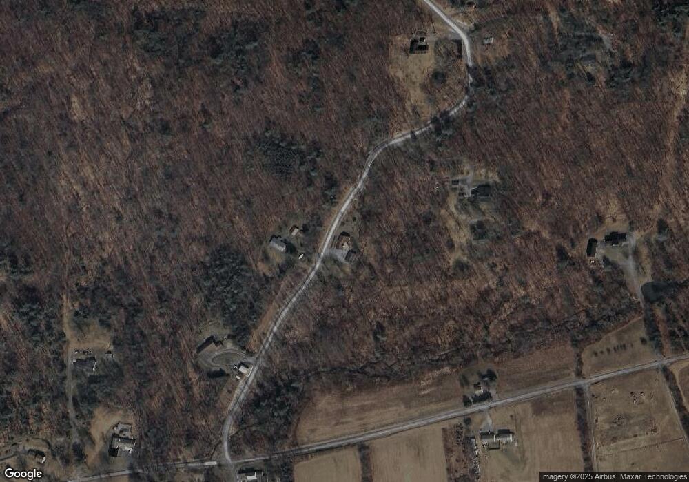
412 Firetower Rd Muncy, PA 17756
Mill Creek NeighborhoodEstimated Value: $237,207 - $362,000
3
Beds
1
Bath
1,920
Sq Ft
$155/Sq Ft
Est. Value
About This Home
This home is located at 412 Firetower Rd, Muncy, PA 17756 and is currently estimated at $297,052, approximately $154 per square foot. 412 Firetower Rd is a home located in Lycoming County with nearby schools including Hughesville Junior/Senior High School.
Ownership History
Date
Name
Owned For
Owner Type
Purchase Details
Closed on
Mar 13, 2015
Sold by
Blass Sean C
Bought by
Baumunk Darrin J and Baumunk Rebekah R
Current Estimated Value
Home Financials for this Owner
Home Financials are based on the most recent Mortgage that was taken out on this home.
Original Mortgage
$189,000
Outstanding Balance
$144,326
Interest Rate
3.6%
Mortgage Type
New Conventional
Estimated Equity
$152,726
Purchase Details
Closed on
Apr 17, 1997
Sold by
Zehring Iii Calvin C
Bought by
Blass Sean C
Create a Home Valuation Report for This Property
The Home Valuation Report is an in-depth analysis detailing your home's value as well as a comparison with similar homes in the area
Home Values in the Area
Average Home Value in this Area
Purchase History
| Date | Buyer | Sale Price | Title Company |
|---|---|---|---|
| Baumunk Darrin J | $210,000 | None Available | |
| Blass Sean C | $62,900 | -- |
Source: Public Records
Mortgage History
| Date | Status | Borrower | Loan Amount |
|---|---|---|---|
| Open | Baumunk Darrin J | $189,000 |
Source: Public Records
Tax History
| Year | Tax Paid | Tax Assessment Tax Assessment Total Assessment is a certain percentage of the fair market value that is determined by local assessors to be the total taxable value of land and additions on the property. | Land | Improvement |
|---|---|---|---|---|
| 2025 | $3,231 | $134,060 | $36,890 | $97,170 |
| 2024 | $3,199 | $134,060 | $36,890 | $97,170 |
| 2023 | $3,098 | $134,060 | $36,890 | $97,170 |
| 2022 | $3,004 | $134,060 | $36,890 | $97,170 |
| 2021 | $2,927 | $134,060 | $36,890 | $97,170 |
| 2020 | $2,927 | $134,060 | $36,890 | $97,170 |
| 2019 | $2,679 | $125,260 | $36,890 | $88,370 |
| 2018 | $2,624 | $125,260 | $36,890 | $88,370 |
| 2017 | $2,475 | $125,260 | $36,890 | $88,370 |
| 2016 | $2,389 | $125,260 | $36,890 | $88,370 |
| 2015 | -- | $125,260 | $36,890 | $88,370 |
Source: Public Records
Map
Nearby Homes
- 2382 Woodley Hollow Rd
- 12737 Pennsylvania 87
- 1462 Highland Lake Rd
- 158 Center St
- 1211 Mall Rd
- 557 Foust Hill Rd
- 341 Highland Dr
- 51 Chel Dr
- 320 Carpenters Ln
- 108 Lime Bluff Rd
- 715 Village Rd
- 424 Kahler Hills Dr Unit 16
- PARC. 199.27 Pond Rd Unit 27
- PARC. 199.G Pond Rd Unit 26
- PARC. 199.G Pond Rd Unit 24
- 157 Red Barn Rd
- 0 Route 220 Hwy
- 56 N Broad St
- 379 Trinity Dr
- 204 Race St
- 500 Firetower Rd
- 295 Firetower Rd
- 1232 Burns Rd
- 525 Mountainview Rd
- 624 Firetower Rd
- 1426 Burns Rd
- 1087 Burns Rd
- 644 Firetower Rd
- 1129 Burns Rd
- 803 Firetower Rd
- 1059 Burns Rd
- 889 Firetower Rd
- 1657 Burns Rd
- 891 Firetower Rd
- 890 Firetower Rd
- 899 Firetower Rd
- 854 Upper Rynearson Rd
- 1735 Burns Rd
- 1560 Burns Rd
- 411 Mountainview Rd
Your Personal Tour Guide
Ask me questions while you tour the home.
