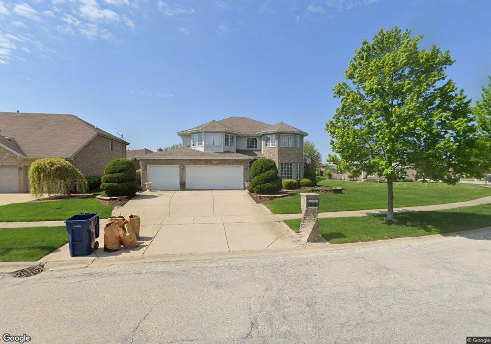
412 Homeland Rd Matteson, IL 60443
Old Matteson NeighborhoodEstimated Value: $418,210 - $497,000
4
Beds
3
Baths
3,218
Sq Ft
$140/Sq Ft
Est. Value
About This Home
This home is located at 412 Homeland Rd, Matteson, IL 60443 and is currently estimated at $451,553, approximately $140 per square foot. 412 Homeland Rd is a home located in Cook County with nearby schools including Illinois School, Arcadia Elementary School, and Indiana Elementary School.
Ownership History
Date
Name
Owned For
Owner Type
Purchase Details
Closed on
Oct 5, 2005
Sold by
State Bank Of Countryside
Bought by
Davis Frederick B and Davis Kimberly D
Current Estimated Value
Home Financials for this Owner
Home Financials are based on the most recent Mortgage that was taken out on this home.
Original Mortgage
$275,500
Outstanding Balance
$148,110
Interest Rate
5.83%
Mortgage Type
Fannie Mae Freddie Mac
Estimated Equity
$303,443
Create a Home Valuation Report for This Property
The Home Valuation Report is an in-depth analysis detailing your home's value as well as a comparison with similar homes in the area
Home Values in the Area
Average Home Value in this Area
Purchase History
| Date | Buyer | Sale Price | Title Company |
|---|---|---|---|
| Davis Frederick B | $344,500 | Enterprise Land Title Ltd |
Source: Public Records
Mortgage History
| Date | Status | Borrower | Loan Amount |
|---|---|---|---|
| Open | Davis Frederick B | $275,500 |
Source: Public Records
Tax History Compared to Growth
Tax History
| Year | Tax Paid | Tax Assessment Tax Assessment Total Assessment is a certain percentage of the fair market value that is determined by local assessors to be the total taxable value of land and additions on the property. | Land | Improvement |
|---|---|---|---|---|
| 2024 | $13,922 | $37,000 | $5,631 | $31,369 |
| 2023 | $13,080 | $37,000 | $5,631 | $31,369 |
| 2022 | $13,080 | $27,529 | $4,863 | $22,666 |
| 2021 | $13,308 | $27,529 | $4,863 | $22,666 |
| 2020 | $12,441 | $27,529 | $4,863 | $22,666 |
| 2019 | $12,882 | $28,319 | $4,351 | $23,968 |
| 2018 | $12,877 | $28,319 | $4,351 | $23,968 |
| 2017 | $12,392 | $28,319 | $4,351 | $23,968 |
| 2016 | $11,936 | $26,772 | $3,839 | $22,933 |
| 2015 | $11,771 | $26,772 | $3,839 | $22,933 |
| 2014 | $11,429 | $26,772 | $3,839 | $22,933 |
| 2013 | $11,986 | $32,276 | $3,839 | $28,437 |
Source: Public Records
Map
Nearby Homes
- 312 Grafton Place
- 4700 203rd St
- 663 Primrose Ln
- 4500 203rd St
- 820 School Ave
- 858 Academy Ave
- 153 Treehouse Rd
- 135 Treehouse Rd
- 98 Lawrence Ln
- 4325 Oakwood Ln
- 4329 Applewood Ln
- 246 Owen St
- 175 Owen St
- 222 Owen St
- 4613 Lindenwood Ct
- 4335 Lindenwood Dr
- 202 Owen St
- 4228 Applewood Ln
- 706 Carnation Ln
- 192 Owen St
- 430 Homeland Rd
- 4605 Blarney Dr
- 4601 Blarney Dr
- 4609 Blarney Dr
- 413 Homeland Rd
- 434 Homeland Rd
- 434 Homeland Rd
- 409 Homeland Rd
- 4613 Blarney Dr
- 405 Homeland Rd
- 433 Homeland Rd
- 401 Homeland Rd
- 401 Homeland Rd
- 438 Homeland Rd
- 437 Homeland Rd
- 4617 Blarney Dr
- 417 Castle Ct Unit 3
- 4604 Blarney Dr
- 4600 Blarney Dr Unit 3
- 329 Homeland Rd