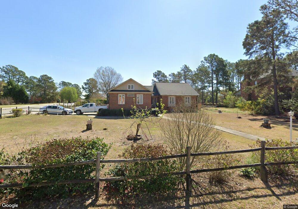
412 Huntcliff Dr Columbia, SC 29229
Wildewood NeighborhoodEstimated Value: $289,000 - $322,000
3
Beds
3
Baths
2,059
Sq Ft
$147/Sq Ft
Est. Value
About This Home
This home is located at 412 Huntcliff Dr, Columbia, SC 29229 and is currently estimated at $301,965, approximately $146 per square foot. 412 Huntcliff Dr is a home located in Richland County with nearby schools including Pontiac Elementary School, E. L. Wright Middle School, and Spring Valley High School.
Ownership History
Date
Name
Owned For
Owner Type
Purchase Details
Closed on
May 21, 2007
Sold by
Sanders Gary V
Bought by
Sanders Lida A
Current Estimated Value
Purchase Details
Closed on
May 31, 2001
Sold by
Smythe Thomas P
Bought by
Sanders Gary V and Sanders Lida A
Home Financials for this Owner
Home Financials are based on the most recent Mortgage that was taken out on this home.
Original Mortgage
$152,950
Interest Rate
7.11%
Create a Home Valuation Report for This Property
The Home Valuation Report is an in-depth analysis detailing your home's value as well as a comparison with similar homes in the area
Home Values in the Area
Average Home Value in this Area
Purchase History
| Date | Buyer | Sale Price | Title Company |
|---|---|---|---|
| Sanders Lida A | -- | None Available | |
| Sanders Gary V | $161,000 | -- |
Source: Public Records
Mortgage History
| Date | Status | Borrower | Loan Amount |
|---|---|---|---|
| Previous Owner | Sanders Gary V | $152,950 |
Source: Public Records
Tax History Compared to Growth
Tax History
| Year | Tax Paid | Tax Assessment Tax Assessment Total Assessment is a certain percentage of the fair market value that is determined by local assessors to be the total taxable value of land and additions on the property. | Land | Improvement |
|---|---|---|---|---|
| 2024 | $1,502 | $190,500 | $0 | $0 |
| 2023 | $1,502 | $6,624 | $0 | $0 |
| 2022 | $1,295 | $165,600 | $27,800 | $137,800 |
| 2021 | $1,291 | $6,620 | $0 | $0 |
| 2020 | $1,308 | $6,620 | $0 | $0 |
| 2019 | $1,282 | $6,620 | $0 | $0 |
| 2018 | $1,218 | $6,370 | $0 | $0 |
| 2017 | $1,196 | $6,370 | $0 | $0 |
| 2016 | $1,192 | $6,370 | $0 | $0 |
| 2015 | $1,197 | $6,370 | $0 | $0 |
| 2014 | $1,195 | $159,200 | $0 | $0 |
| 2013 | -- | $6,370 | $0 | $0 |
Source: Public Records
Map
Nearby Homes
- 516 Hogans Run
- 104 Hogans Run
- 109 Siegfried Ln
- 80 N Lake Pointe Dr
- 112 Woodlands Ridge Rd
- 92 N Lake Pointe Dr
- 102 Woodlands Ridge Rd
- 101 Norse Way
- 101 Norse Dr
- 301 Running Fox Rd
- 620 R Valhalla Dr
- 0 Burmaster Dr
- 1105 Bradford Ridge Ln
- 19 Fox Chase Rd
- 413 Wynette Way
- 313 Thornridge Rd
- 239 Pond Ridge Rd E
- 516 Wotan Rd
- 120 Cowdray Park
- 112 Valhalla Dr
- 408 Huntcliff Dr
- 404 Huntcliff Dr
- 1109 Valhalla Dr
- 1116 Valhalla Dr
- 413 Huntcliff Dr
- 1200 Valhalla Dr
- 409 Huntcliff Dr
- 1112 Valhalla Dr
- 1204 Valhalla Dr
- 400 Huntcliff Dr
- 1105 Valhalla Dr
- 1208 Valhalla Dr
- 401 Huntcliff Dr
- 324 Huntcliff Dr
- 8 Spyglass Ct
- 10 Spyglass Ct
- 524 Hogans Run
- 1212 Valhalla Dr
- 100 Woodlands Village Dr
- 105 Woodlands Village Dr