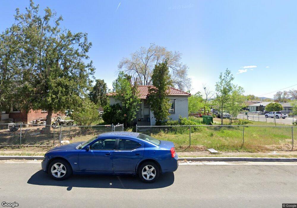
412 Locust St Reno, NV 89502
Wells Avenue District NeighborhoodEstimated Value: $353,025 - $447,000
2
Beds
1
Bath
622
Sq Ft
$619/Sq Ft
Est. Value
About This Home
This home is located at 412 Locust St, Reno, NV 89502 and is currently estimated at $384,756, approximately $618 per square foot. 412 Locust St is a home located in Washoe County with nearby schools including Libby C Booth Elementary School, Vaughn Middle School, and Earl Wooster High School.
Ownership History
Date
Name
Owned For
Owner Type
Purchase Details
Closed on
Jun 25, 2024
Sold by
Fiori Raymond T
Bought by
Fiori Family Revocable Trust and Fiori
Current Estimated Value
Create a Home Valuation Report for This Property
The Home Valuation Report is an in-depth analysis detailing your home's value as well as a comparison with similar homes in the area
Home Values in the Area
Average Home Value in this Area
Purchase History
| Date | Buyer | Sale Price | Title Company |
|---|---|---|---|
| Fiori Family Revocable Trust | -- | None Listed On Document | |
| Donald M Fiori Family Trust | -- | None Listed On Document |
Source: Public Records
Tax History
| Year | Tax Paid | Tax Assessment Tax Assessment Total Assessment is a certain percentage of the fair market value that is determined by local assessors to be the total taxable value of land and additions on the property. | Land | Improvement |
|---|---|---|---|---|
| 2026 | $387 | $45,663 | $34,860 | $10,803 |
| 2025 | $513 | $44,890 | $34,265 | $10,625 |
| 2024 | $513 | $43,585 | $33,040 | $10,545 |
| 2023 | $498 | $43,150 | $33,390 | $9,760 |
| 2022 | $482 | $36,058 | $27,825 | $8,233 |
| 2021 | $472 | $25,979 | $18,270 | $7,709 |
| 2020 | $454 | $26,747 | $19,040 | $7,707 |
| 2019 | $446 | $23,918 | $16,660 | $7,258 |
| 2018 | $429 | $18,892 | $12,005 | $6,887 |
| 2017 | $419 | $17,253 | $10,430 | $6,823 |
| 2016 | $413 | $15,957 | $9,275 | $6,682 |
| 2015 | $424 | $13,972 | $7,350 | $6,622 |
| 2014 | $411 | $11,538 | $5,250 | $6,288 |
| 2013 | -- | $10,199 | $4,025 | $6,174 |
Source: Public Records
Map
Nearby Homes
- 661 Thoma St
- 459 Cheney St
- 453 Cheney St
- 446 Roberts St
- 330 Stewart St
- 943 S Wells Ave
- 101 S Wells Ave
- 536 Sinclair St
- 400 Claremont St
- 939 Bates Ave
- 243 Claremont St
- 800 S Center St
- 880 S Center St
- 755 Balzar Cir
- 627 E 2nd St
- 825 Cordone Ave
- 1339 Locust St
- 60 Caliente St
- 512 Humboldt St
- 50 N Sierra St Unit 803
- 410 Locust St
- 725-745 Moran St
- 725 Moran St
- 461 Locust St
- 512 Locust St
- 722 Moran St
- 633 Moran St
- 0000 City St
- 400 Locust St
- 710 Stewart St
- 710 Stewart St Unit D
- 710 Stewart St Unit G
- 509 Locust St
- 720 Stewart St
- 742 Stewart St
- 736 Moran St
- 742 Stewart St
- 520 Locust St Unit A&B
- 520 Locust St
- 646 Moran St
Your Personal Tour Guide
Ask me questions while you tour the home.