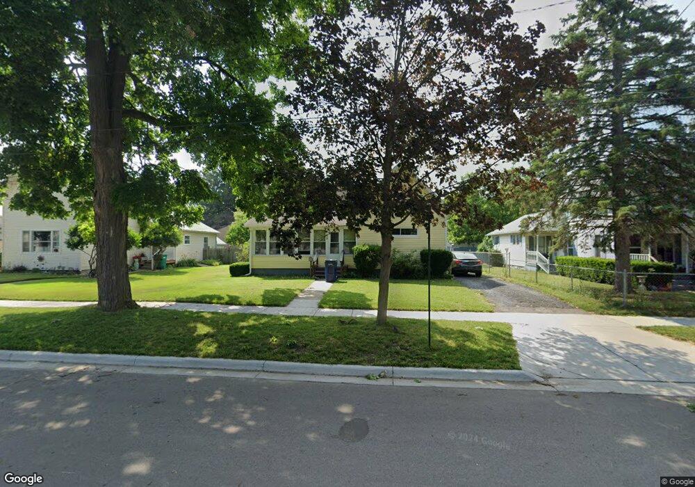
412 Maple Ave Owosso, MI 48867
Estimated Value: $119,000 - $184,499
2
Beds
1
Bath
1,230
Sq Ft
$118/Sq Ft
Est. Value
About This Home
This home is located at 412 Maple Ave, Owosso, MI 48867 and is currently estimated at $144,875, approximately $117 per square foot. 412 Maple Ave is a home located in Shiawassee County with nearby schools including Owosso High School, Salem Lutheran School, and St. Paul Catholic School.
Ownership History
Date
Name
Owned For
Owner Type
Purchase Details
Closed on
Mar 10, 2014
Sold by
Inscho Karyl
Bought by
Hall Kirk A and Hall Sherry L
Current Estimated Value
Home Financials for this Owner
Home Financials are based on the most recent Mortgage that was taken out on this home.
Original Mortgage
$57,755
Outstanding Balance
$43,693
Interest Rate
4.29%
Mortgage Type
New Conventional
Estimated Equity
$101,182
Purchase Details
Closed on
Mar 30, 2012
Sold by
Zwolensky Trust Glenna J and Zwolensky Trust Steve F
Bought by
Inscho Karyl
Purchase Details
Closed on
Nov 13, 2002
Sold by
Zwolensky Glenna J and Zwolensky Steve F
Bought by
Zwolensky Steve F and Zwolensky Glenna J
Create a Home Valuation Report for This Property
The Home Valuation Report is an in-depth analysis detailing your home's value as well as a comparison with similar homes in the area
Home Values in the Area
Average Home Value in this Area
Purchase History
| Date | Buyer | Sale Price | Title Company |
|---|---|---|---|
| Hall Kirk A | $56,600 | -- | |
| Inscho Karyl | -- | -- | |
| Zwolensky Steve F | -- | -- |
Source: Public Records
Mortgage History
| Date | Status | Borrower | Loan Amount |
|---|---|---|---|
| Open | Hall Kirk A | $57,755 |
Source: Public Records
Tax History
| Year | Tax Paid | Tax Assessment Tax Assessment Total Assessment is a certain percentage of the fair market value that is determined by local assessors to be the total taxable value of land and additions on the property. | Land | Improvement |
|---|---|---|---|---|
| 2025 | $1,620 | $61,600 | $0 | $0 |
| 2024 | $1,620 | $56,800 | $0 | $0 |
| 2023 | $1,019 | $51,000 | $0 | $0 |
| 2022 | $1,567 | $45,500 | $0 | $0 |
| 2021 | $1,487 | $40,900 | $0 | $0 |
| 2020 | $1,535 | $38,300 | $0 | $0 |
| 2019 | $1,514 | $33,400 | $0 | $0 |
| 2018 | -- | $32,600 | $0 | $0 |
| 2017 | -- | $31,500 | $0 | $0 |
| 2016 | -- | $31,500 | $0 | $0 |
| 2015 | -- | $31,300 | $0 | $0 |
| 2014 | -- | $31,300 | $0 | $0 |
Source: Public Records
Map
Nearby Homes
- 615 Broadway Ave
- 915 Corunna Ave
- 631 Woodlawn Ave
- 321 E Stewart St
- 626 Lincoln Ave
- 755 Woodlawn Ave
- 802 Woodlawn Ave
- 218 S Oak St
- 902 Glenwood Ave
- 915 May St
- 225 W Ridge St
- 905 E Exchange St
- 6 E Main St
- 1605 Corunna Ave
- 315 Prindle St
- 5 E Main St
- 906 Michigan Ave
- 1628 Allendale Ave
- 403 Randolph St
- 414 Prindle St
Your Personal Tour Guide
Ask me questions while you tour the home.