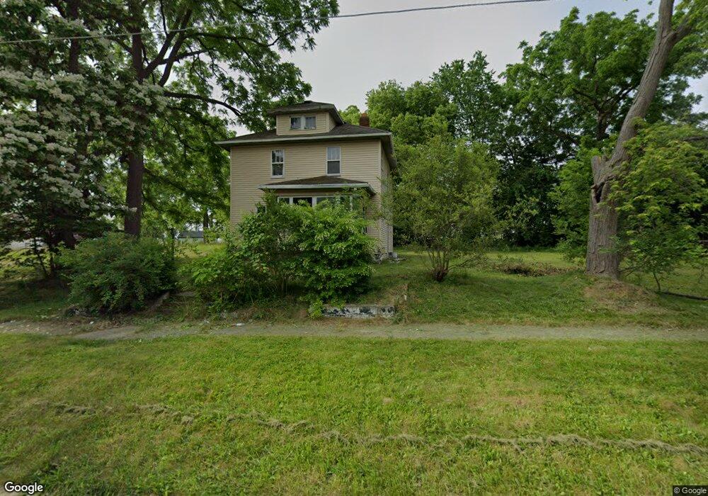
412 Mary St Flint, MI 48503
Downtown Flint NeighborhoodEstimated Value: $57,000 - $102,000
4
Beds
1
Bath
1,324
Sq Ft
$54/Sq Ft
Est. Value
About This Home
This home is located at 412 Mary St, Flint, MI 48503 and is currently estimated at $71,091, approximately $53 per square foot. 412 Mary St is a home located in Genesee County with nearby schools including Doyle/Ryder School, Flint Cultural Center Academy, and WAY Academy of Flint.
Ownership History
Date
Name
Owned For
Owner Type
Purchase Details
Closed on
Dec 26, 2002
Sold by
Abn Amro Mortgage Group Inc
Bought by
Milestones Services Llc
Current Estimated Value
Purchase Details
Closed on
Sep 11, 2002
Sold by
Federal Home Loan Mortgage Corporation
Bought by
Abn Amro Mtg Group Inc
Purchase Details
Closed on
Feb 22, 2002
Sold by
Abn Amro Mtg Group Inc
Bought by
Federal Home Loan Mortgage Corporation
Purchase Details
Closed on
Feb 20, 2002
Sold by
Webster Sadie
Bought by
Abn Amro Mtg Group Inc
Create a Home Valuation Report for This Property
The Home Valuation Report is an in-depth analysis detailing your home's value as well as a comparison with similar homes in the area
Home Values in the Area
Average Home Value in this Area
Purchase History
| Date | Buyer | Sale Price | Title Company |
|---|---|---|---|
| Milestones Services Llc | $3,000 | Metropolitan Title Company | |
| Abn Amro Mtg Group Inc | -- | -- | |
| Federal Home Loan Mortgage Corporation | -- | -- | |
| Abn Amro Mtg Group Inc | $35,754 | -- |
Source: Public Records
Tax History
| Year | Tax Paid | Tax Assessment Tax Assessment Total Assessment is a certain percentage of the fair market value that is determined by local assessors to be the total taxable value of land and additions on the property. | Land | Improvement |
|---|---|---|---|---|
| 2025 | $457 | $10,800 | $0 | $0 |
| 2024 | $439 | $9,100 | $0 | $0 |
| 2023 | $441 | $8,300 | $0 | $0 |
| 2022 | $0 | $7,400 | $0 | $0 |
| 2021 | $439 | $6,800 | $0 | $0 |
| 2020 | $421 | $5,100 | $0 | $0 |
| 2019 | $423 | $3,900 | $0 | $0 |
| 2018 | $377 | $3,400 | $0 | $0 |
| 2017 | $372 | $0 | $0 | $0 |
| 2016 | $371 | $0 | $0 | $0 |
| 2015 | -- | $0 | $0 | $0 |
| 2014 | -- | $0 | $0 | $0 |
| 2012 | -- | $3,000 | $0 | $0 |
Source: Public Records
Map
Nearby Homes
- 429 Page St
- 800 Martin Luther King Ave
- 1606 Garland St
- 1303 Root St
- 1214 Root St
- 1016 Garland St
- 2217 Francis Ave
- 1710 Wilberforce Cir
- 1706 Wilberforce Cir
- 1645 Seminole St
- 115 W Baker St
- 506 Green St
- 218 E Jackson Ave
- 1409 Prospect St
- 1651 N Chevrolet Ave
- 416 W 2nd Ave Unit 4
- 115 E Genesee St
- 407 W 2nd Ave
- 1717 Wolcott St
- 2302 Mallery St
Your Personal Tour Guide
Ask me questions while you tour the home.