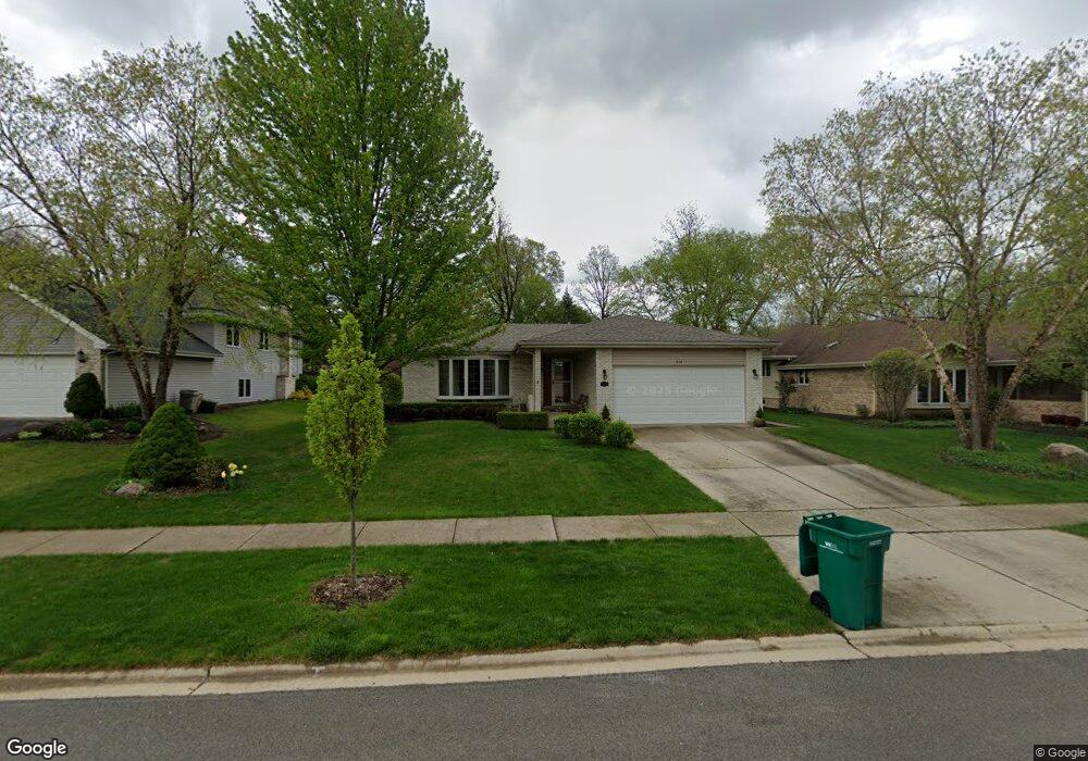
412 Navajo Dr New Lenox, IL 60451
Estimated Value: $415,102 - $503,000
--
Bed
--
Bath
--
Sq Ft
10,454
Sq Ft Lot
About This Home
This home is located at 412 Navajo Dr, New Lenox, IL 60451 and is currently estimated at $472,526. 412 Navajo Dr is a home located in Will County with nearby schools including Haines Elementary School, Oster-Oakview School, and Lincoln Way West.
Ownership History
Date
Name
Owned For
Owner Type
Purchase Details
Closed on
Sep 27, 2006
Sold by
Anderson Richard D and Anderson Mary Ann A
Bought by
Standard Bank & Trust Co and Trust #19641
Current Estimated Value
Purchase Details
Closed on
Oct 26, 1999
Sold by
South Holland Trust & Svgs Bank
Bought by
Anderson Richard D and Anderson Mary Ann A
Home Financials for this Owner
Home Financials are based on the most recent Mortgage that was taken out on this home.
Original Mortgage
$50,000
Interest Rate
7.87%
Create a Home Valuation Report for This Property
The Home Valuation Report is an in-depth analysis detailing your home's value as well as a comparison with similar homes in the area
Home Values in the Area
Average Home Value in this Area
Purchase History
| Date | Buyer | Sale Price | Title Company |
|---|---|---|---|
| Standard Bank & Trust Co | -- | None Available | |
| Anderson Richard D | $200,500 | Chicago Title Insurance Co |
Source: Public Records
Mortgage History
| Date | Status | Borrower | Loan Amount |
|---|---|---|---|
| Previous Owner | Anderson Richard D | $50,000 |
Source: Public Records
Tax History Compared to Growth
Tax History
| Year | Tax Paid | Tax Assessment Tax Assessment Total Assessment is a certain percentage of the fair market value that is determined by local assessors to be the total taxable value of land and additions on the property. | Land | Improvement |
|---|---|---|---|---|
| 2024 | $8,987 | $136,349 | $33,732 | $102,617 |
| 2023 | $8,987 | $124,292 | $30,749 | $93,543 |
| 2022 | $9,157 | $114,502 | $28,327 | $86,175 |
| 2021 | $8,695 | $107,686 | $26,641 | $81,045 |
| 2020 | $8,413 | $103,843 | $25,690 | $78,153 |
| 2019 | $8,126 | $100,623 | $24,893 | $75,730 |
| 2018 | $7,887 | $97,155 | $24,035 | $73,120 |
| 2017 | $7,654 | $94,362 | $23,344 | $71,018 |
| 2016 | $7,454 | $91,836 | $22,719 | $69,117 |
| 2015 | $7,241 | $88,945 | $22,004 | $66,941 |
| 2014 | $7,241 | $87,847 | $21,732 | $66,115 |
| 2013 | $7,241 | $89,031 | $22,025 | $67,006 |
Source: Public Records
Map
Nearby Homes
- 506 Navajo Dr
- 3301 Irondale Ct
- 1301 Silver Cross Blvd
- 3420 Avondale Ln
- 0 Silver Cross Blvd
- 1001 Scottsdale Ln
- 1999 Silver Cross Blvd
- 1006 Mountain View Dr
- 14119 W Maple Rd
- 200 Montieth St
- 1106 Weston Way
- 937 Saddle Ridge Dr
- 1500 Ramp
- 939 Saddle Ridge Dr
- 2417 Fleetwood Dr
- 2602 Timber Springs Dr
- 2412 Fleetwood Dr
- 450 Kingston Dr
- Vacant W Maple St
- 338 Willow St