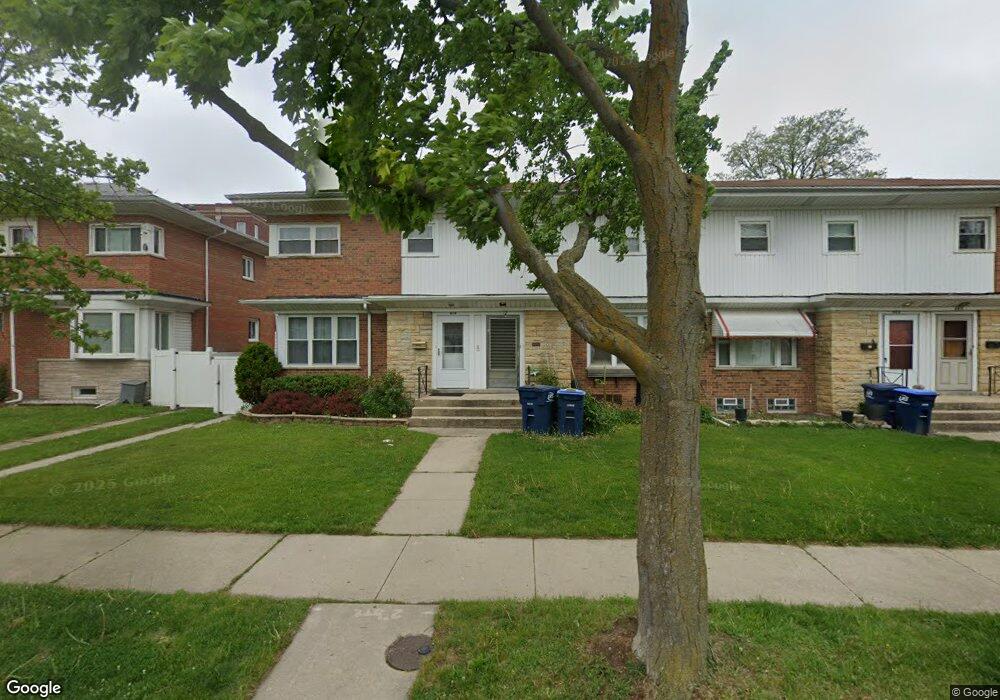
412 Oak St Des Plaines, IL 60016
Estimated Value: $243,723 - $295,000
2
Beds
2
Baths
1,080
Sq Ft
$255/Sq Ft
Est. Value
About This Home
This home is located at 412 Oak St, Des Plaines, IL 60016 and is currently estimated at $275,681, approximately $255 per square foot. 412 Oak St is a home located in Cook County with nearby schools including North Elementary School, Chippewa Middle School, and Maine West High School.
Ownership History
Date
Name
Owned For
Owner Type
Purchase Details
Closed on
Jul 20, 1999
Sold by
Murphy Patrick T
Bought by
Dreksler Richard M and Dreksler Pascuala
Current Estimated Value
Home Financials for this Owner
Home Financials are based on the most recent Mortgage that was taken out on this home.
Original Mortgage
$96,300
Interest Rate
8.21%
Mortgage Type
Purchase Money Mortgage
Create a Home Valuation Report for This Property
The Home Valuation Report is an in-depth analysis detailing your home's value as well as a comparison with similar homes in the area
Home Values in the Area
Average Home Value in this Area
Purchase History
| Date | Buyer | Sale Price | Title Company |
|---|---|---|---|
| Dreksler Richard M | $107,000 | Professional National Title |
Source: Public Records
Mortgage History
| Date | Status | Borrower | Loan Amount |
|---|---|---|---|
| Closed | Dreksler Richard M | $96,300 |
Source: Public Records
Tax History
| Year | Tax Paid | Tax Assessment Tax Assessment Total Assessment is a certain percentage of the fair market value that is determined by local assessors to be the total taxable value of land and additions on the property. | Land | Improvement |
|---|---|---|---|---|
| 2025 | $4,399 | $21,000 | $9,728 | $11,272 |
| 2024 | $4,399 | $20,000 | $3,500 | $16,500 |
| 2023 | $4,266 | $20,000 | $3,500 | $16,500 |
| 2022 | $4,266 | $20,000 | $3,500 | $16,500 |
| 2021 | $3,269 | $13,966 | $1,664 | $12,302 |
| 2020 | $3,283 | $13,966 | $1,664 | $12,302 |
| 2019 | $3,253 | $15,518 | $1,664 | $13,854 |
| 2018 | $2,723 | $12,540 | $1,472 | $11,068 |
| 2017 | $2,692 | $12,540 | $1,472 | $11,068 |
| 2016 | $2,791 | $12,540 | $1,472 | $11,068 |
| 2015 | $2,991 | $12,518 | $1,280 | $11,238 |
| 2014 | $2,944 | $12,518 | $1,280 | $11,238 |
| 2013 | $2,854 | $12,518 | $1,280 | $11,238 |
Source: Public Records
Map
Nearby Homes
- 430 Oak St
- 1509 Brown St Unit 11
- 365 Graceland Ave Unit 205A
- 1349 E Washington St Unit 404A
- 1378 Perry St Unit 412
- 1389 Perry St Unit 203
- 555 Graceland Ave Unit 503
- 1327 Brown St Unit 404
- 1569 Sherman Place
- 1308 Perry St Unit B
- 1325 Perry St Unit 606
- 555 S River Rd Unit 607
- 1333 Willow Ave
- 1288 Perry St Unit 2
- 656 Pearson St Unit 203C
- 659 S Des Plaines River Rd Unit 2A
- 650 S River Rd Unit 701
- 647 Parsons Ave
- 390 S Western Ave Unit 502
- 176 Grove Ave Unit C
Your Personal Tour Guide
Ask me questions while you tour the home.