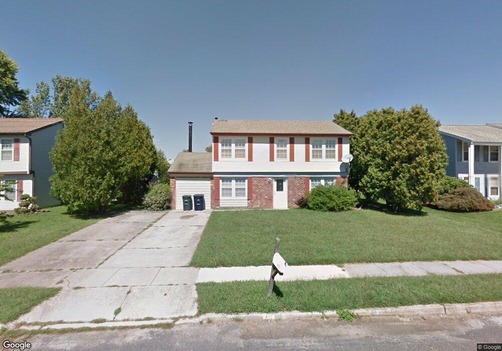
412 Robin Ln Williamstown, NJ 08094
Estimated Value: $376,000 - $397,000
4
Beds
3
Baths
1,881
Sq Ft
$204/Sq Ft
Est. Value
About This Home
This home is located at 412 Robin Ln, Williamstown, NJ 08094 and is currently estimated at $384,236, approximately $204 per square foot. 412 Robin Ln is a home located in Gloucester County with nearby schools including Williamstown High School, St. Mary School, and Finest of the Wheat Christian.
Ownership History
Date
Name
Owned For
Owner Type
Purchase Details
Closed on
Feb 24, 2010
Sold by
Us Bank National Association
Bought by
Albert & Deborah Stephen Revocable Trust
Current Estimated Value
Purchase Details
Closed on
Jul 29, 2009
Sold by
Brody William R and Wachovia Bank Na
Bought by
U S Bank National Association
Purchase Details
Closed on
Nov 15, 2005
Sold by
Mattson Roger C and Dorothy R Dewyer Revocable Tru
Bought by
Brody William R
Home Financials for this Owner
Home Financials are based on the most recent Mortgage that was taken out on this home.
Original Mortgage
$207,000
Interest Rate
8.45%
Mortgage Type
Fannie Mae Freddie Mac
Purchase Details
Closed on
Jun 19, 2000
Sold by
Ward George T and Ward Patricia L
Bought by
Ward Thomas H and Trust Of Dorothy R Dewyer
Create a Home Valuation Report for This Property
The Home Valuation Report is an in-depth analysis detailing your home's value as well as a comparison with similar homes in the area
Home Values in the Area
Average Home Value in this Area
Purchase History
| Date | Buyer | Sale Price | Title Company |
|---|---|---|---|
| Albert & Deborah Stephen Revocable Trust | $100,000 | Fortune Title Agency Inc | |
| U S Bank National Association | -- | None Available | |
| Brody William R | $230,000 | Surety | |
| Ward Thomas H | $106,500 | Continental Title |
Source: Public Records
Mortgage History
| Date | Status | Borrower | Loan Amount |
|---|---|---|---|
| Previous Owner | Brody William R | $207,000 |
Source: Public Records
Tax History Compared to Growth
Tax History
| Year | Tax Paid | Tax Assessment Tax Assessment Total Assessment is a certain percentage of the fair market value that is determined by local assessors to be the total taxable value of land and additions on the property. | Land | Improvement |
|---|---|---|---|---|
| 2025 | $6,852 | $187,100 | $54,200 | $132,900 |
| 2024 | $6,801 | $187,100 | $54,200 | $132,900 |
| 2023 | $6,801 | $187,100 | $54,200 | $132,900 |
| 2022 | $6,769 | $187,100 | $54,200 | $132,900 |
| 2021 | $6,807 | $187,100 | $54,200 | $132,900 |
| 2020 | $6,805 | $187,100 | $54,200 | $132,900 |
| 2019 | $6,764 | $187,100 | $54,200 | $132,900 |
| 2018 | $6,653 | $187,100 | $54,200 | $132,900 |
| 2017 | $6,337 | $178,900 | $58,200 | $120,700 |
| 2016 | $6,256 | $178,900 | $58,200 | $120,700 |
| 2015 | $6,077 | $178,900 | $58,200 | $120,700 |
| 2014 | $5,900 | $178,900 | $58,200 | $120,700 |
Source: Public Records
Map
Nearby Homes
- 1240 Glassboro Rd
- 20 Maple Ave
- 61 William Ave
- 117 Cora Ave
- 45 Sicklerville Rd
- 109 Lindale Ave
- 136 Cora Ave
- 784 Allison Dr
- 632 Clayton Rd
- 101 N Black Horse Pike
- L. 5 N Black Horse Pike
- 221 Oak St
- 217 Oak St
- 109 Poplar St
- 135 Oak St
- 872 Black Horse Pike
- 308 Oak St
- 23 Genova Ave
- 354 S Main St
- 24 W Lois Dr