412 Route 206 Newton, NJ 07860
Andover Township NeighborhoodEstimated Value: $439,000 - $638,004
--
Bed
--
Bath
1,534
Sq Ft
$361/Sq Ft
Est. Value
About This Home
This home is located at 412 Route 206, Newton, NJ 07860 and is currently estimated at $554,501, approximately $361 per square foot. 412 Route 206 is a home located in Sussex County with nearby schools including Florence M. Burd School, Long Pond School, and Lakeland Andover School.
Ownership History
Date
Name
Owned For
Owner Type
Purchase Details
Closed on
Sep 20, 2022
Sold by
Howard Phyllis Anne
Bought by
Assante Brothers Llc
Current Estimated Value
Home Financials for this Owner
Home Financials are based on the most recent Mortgage that was taken out on this home.
Original Mortgage
$1,172,000
Outstanding Balance
$1,133,077
Interest Rate
6.92%
Mortgage Type
New Conventional
Estimated Equity
-$578,576
Purchase Details
Closed on
Jul 30, 2013
Sold by
Smith Charles Andrew Flammer
Bought by
Henrietta C Smith Credit Shelter Trust
Create a Home Valuation Report for This Property
The Home Valuation Report is an in-depth analysis detailing your home's value as well as a comparison with similar homes in the area
Home Values in the Area
Average Home Value in this Area
Purchase History
| Date | Buyer | Sale Price | Title Company |
|---|---|---|---|
| Assante Brothers Llc | $870,000 | Green Hill Title | |
| Henrietta C Smith Credit Shelter Trust | -- | None Available |
Source: Public Records
Mortgage History
| Date | Status | Borrower | Loan Amount |
|---|---|---|---|
| Open | Assante Brothers Llc | $1,172,000 |
Source: Public Records
Tax History Compared to Growth
Tax History
| Year | Tax Paid | Tax Assessment Tax Assessment Total Assessment is a certain percentage of the fair market value that is determined by local assessors to be the total taxable value of land and additions on the property. | Land | Improvement |
|---|---|---|---|---|
| 2025 | $13,081 | $310,500 | $143,000 | $167,500 |
| 2024 | $12,609 | $310,500 | $143,000 | $167,500 |
| 2023 | $12,609 | $310,500 | $143,000 | $167,500 |
| 2022 | $12,085 | $310,500 | $143,000 | $167,500 |
| 2021 | $11,911 | $310,500 | $143,000 | $167,500 |
| 2020 | $11,603 | $310,500 | $143,000 | $167,500 |
| 2019 | $11,333 | $310,500 | $143,000 | $167,500 |
| 2018 | $11,156 | $310,500 | $143,000 | $167,500 |
| 2017 | $10,917 | $310,500 | $143,000 | $167,500 |
| 2016 | $10,566 | $310,500 | $143,000 | $167,500 |
| 2015 | $6,960 | $195,400 | $94,400 | $101,000 |
| 2014 | $6,810 | $195,400 | $94,400 | $101,000 |
Source: Public Records
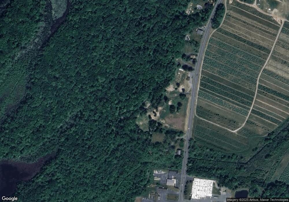
Map
Nearby Homes
- 285 Stickles Pond Rd
- 8 Springdale Greendell Rd
- 17 Youngs Rd
- 15 Bernard Dr
- 207 Stickles Pond Rd
- 0 Martin St
- 7 Martin St
- 219 Woodside Ave
- 9 Woodridge Ct
- 33 Huntsville Rd
- 73 Paterson Ave
- 40 Carriage Ln Unit 40
- 6 Barry Ln
- 5 Babbitt Ct
- 137 Carriage Ln
- 208 Willows Rd
- 103 Woodside Ave
- 54 Plainfield Ave
- 14 Trenton Place
- 82 Merriam Ave
- 412 Us Highway 206 S
- 412 U S 206
- 408 Route 206
- 408 Route 206
- 408 Us Highway 206 S Unit 9999
- 408 Route 206
- 408 Us Highway 206 S
- 420 Route 206
- 408 U S 206 Unit 9999
- 408 U S 206
- 408 State Hwy 206
- 420 Us Highway 206 S
- 402 Us Highway 206 S
- 400 Us Highway 206 S
- 396 Us Highway 206 S
- 396 U S 206
- 380 Us Highway 206 S
- 380 U S 206
- 380 Route 206
- 451 U S 206