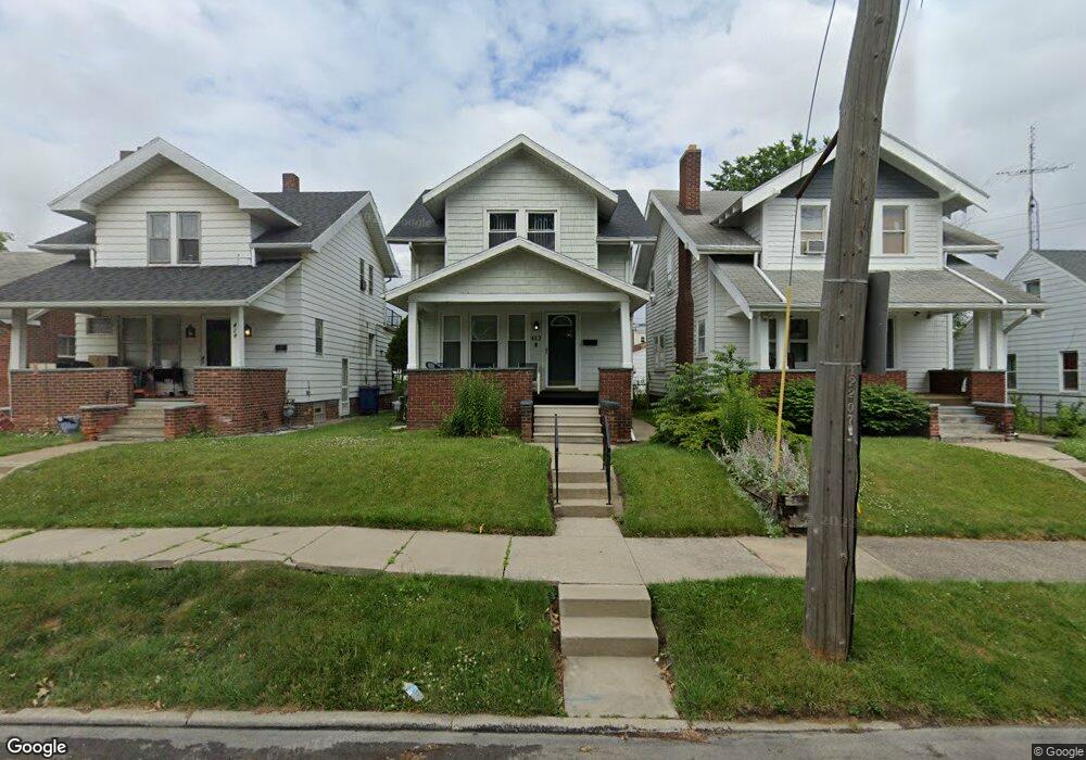
412 Shasta Dr Toledo, OH 43609
Southside NeighborhoodEstimated Value: $95,000 - $117,000
4
Beds
2
Baths
1,550
Sq Ft
$67/Sq Ft
Est. Value
About This Home
This home is located at 412 Shasta Dr, Toledo, OH 43609 and is currently estimated at $103,954, approximately $67 per square foot. 412 Shasta Dr is a home located in Lucas County with nearby schools including Burroughs Elementary School, Bowsher High School, and Explorers Academy of Science and Technology.
Ownership History
Date
Name
Owned For
Owner Type
Purchase Details
Closed on
Feb 27, 2006
Sold by
Zachel Bruce A and Zachel Gwynne S
Bought by
Johnson Charisse M
Current Estimated Value
Home Financials for this Owner
Home Financials are based on the most recent Mortgage that was taken out on this home.
Original Mortgage
$95,000
Outstanding Balance
$53,785
Interest Rate
6.2%
Mortgage Type
Fannie Mae Freddie Mac
Estimated Equity
$50,169
Create a Home Valuation Report for This Property
The Home Valuation Report is an in-depth analysis detailing your home's value as well as a comparison with similar homes in the area
Home Values in the Area
Average Home Value in this Area
Purchase History
| Date | Buyer | Sale Price | Title Company |
|---|---|---|---|
| Johnson Charisse M | $95,000 | None Available |
Source: Public Records
Mortgage History
| Date | Status | Borrower | Loan Amount |
|---|---|---|---|
| Open | Johnson Charisse M | $95,000 |
Source: Public Records
Tax History Compared to Growth
Tax History
| Year | Tax Paid | Tax Assessment Tax Assessment Total Assessment is a certain percentage of the fair market value that is determined by local assessors to be the total taxable value of land and additions on the property. | Land | Improvement |
|---|---|---|---|---|
| 2024 | $893 | $28,630 | $3,465 | $25,165 |
| 2023 | $1,482 | $22,435 | $3,185 | $19,250 |
| 2022 | $1,480 | $22,435 | $3,185 | $19,250 |
| 2021 | $1,495 | $22,435 | $3,185 | $19,250 |
| 2020 | $1,414 | $18,515 | $2,625 | $15,890 |
| 2019 | $1,372 | $18,515 | $2,625 | $15,890 |
| 2018 | $1,359 | $18,515 | $2,625 | $15,890 |
| 2017 | $1,412 | $17,885 | $2,555 | $15,330 |
| 2016 | $1,385 | $51,100 | $7,300 | $43,800 |
| 2015 | $1,347 | $51,100 | $7,300 | $43,800 |
| 2014 | $1,125 | $17,890 | $2,560 | $15,330 |
| 2013 | $1,125 | $17,890 | $2,560 | $15,330 |
Source: Public Records
Map
Nearby Homes
- 224 S Fearing Blvd
- 440 Somerset St
- 142 S Detroit Ave
- 1754 Finch St
- 512 Woodsdale Ave
- 531 Shasta Dr
- 221 Somerset St
- 1777 South Ave
- 226 Somerset St
- 144 Whiting Ave
- 140 Whiting Ave
- 321 Mayberry St
- 2126 Airport Hwy
- 518 Myers St
- 304 Mayberry St
- 649 Wright Ave
- 705 Wright Ave
- 323 Champion St
- 1587 Colton St
- 1579 Colton St
- 414 Shasta Dr
- 418 Shasta Dr
- 406 Shasta Dr
- 307 S Detroit Ave
- 305 S Detroit Ave
- 315 S Detroit Ave
- 430 Shasta Dr
- 1893 Airport Hwy
- 1887 Airport Hwy
- 1874 Finch St
- 434 Shasta Dr
- 331 S Detroit Ave
- 333 S Detroit Ave
- 1872 Finch St
- 1875 Airport Hwy
- 442 Shasta Dr
- 337 S Detroit Ave
- 1870 Finch St
- 1869 Airport Hwy
- 343 S Detroit Ave