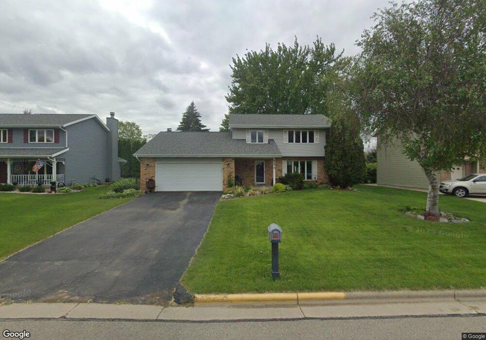
412 Southbound Dr de Forest, WI 53532
Estimated Value: $402,360 - $422,000
3
Beds
2
Baths
1,800
Sq Ft
$230/Sq Ft
Est. Value
About This Home
This home is located at 412 Southbound Dr, de Forest, WI 53532 and is currently estimated at $413,840, approximately $229 per square foot. 412 Southbound Dr is a home located in Dane County with nearby schools including Eagle Point Elementary School, DeForest Middle School, and DeForest High School.
Ownership History
Date
Name
Owned For
Owner Type
Purchase Details
Closed on
Dec 2, 2016
Sold by
Marquardt Amber D
Bought by
Marquardt Wesley D
Current Estimated Value
Purchase Details
Closed on
May 5, 2015
Sold by
Marquardt Amber D
Bought by
Marquardt Wesley D
Home Financials for this Owner
Home Financials are based on the most recent Mortgage that was taken out on this home.
Original Mortgage
$116,800
Interest Rate
3.68%
Mortgage Type
New Conventional
Create a Home Valuation Report for This Property
The Home Valuation Report is an in-depth analysis detailing your home's value as well as a comparison with similar homes in the area
Home Values in the Area
Average Home Value in this Area
Purchase History
| Date | Buyer | Sale Price | Title Company |
|---|---|---|---|
| Marquardt Wesley D | -- | None Available | |
| Marquardt Wesley D | -- | None Available |
Source: Public Records
Mortgage History
| Date | Status | Borrower | Loan Amount |
|---|---|---|---|
| Closed | Marquardt Wesley D | $116,800 |
Source: Public Records
Tax History
| Year | Tax Paid | Tax Assessment Tax Assessment Total Assessment is a certain percentage of the fair market value that is determined by local assessors to be the total taxable value of land and additions on the property. | Land | Improvement |
|---|---|---|---|---|
| 2024 | $5,759 | $365,700 | $89,000 | $276,700 |
| 2023 | $5,854 | $353,400 | $89,000 | $264,400 |
| 2022 | $5,545 | $323,100 | $74,000 | $249,100 |
| 2021 | $5,512 | $285,700 | $72,000 | $213,700 |
| 2020 | $5,599 | $274,400 | $64,800 | $209,600 |
| 2019 | $5,393 | $268,100 | $64,800 | $203,300 |
| 2018 | $4,985 | $249,300 | $64,800 | $184,500 |
| 2017 | $4,805 | $249,300 | $64,800 | $184,500 |
| 2016 | $4,836 | $249,300 | $64,800 | $184,500 |
| 2015 | $4,769 | $228,900 | $54,700 | $174,200 |
| 2014 | $4,680 | $228,900 | $54,700 | $174,200 |
| 2013 | $4,997 | $228,900 | $54,700 | $174,200 |
Source: Public Records
Map
Nearby Homes
- 4041 Bear Tree Pkwy
- 400 Market St
- 33.5 Ac River Rd
- L1 Liuna Way
- 520 E Holum St
- 216 Reigstad St
- 127 Carriage Way Unit C13
- 392 Campbell Hill Ct
- 612 Park Ave
- 404 Anderson St
- 851 Shooting Star Cir
- 412 South St
- 112 Renata Ct
- 908 Yorktown Rd
- 910 Yorktown Rd
- 941 Lavender Way
- 4069 Whistle Rock Cir
- Lot 413 Whistle Rock Cir
- 6712 Honey Bee
- 516 Woodvale Dr
- 408 Southbound Dr
- 416 Southbound Dr
- 415 Rosemal Ln
- 413 Rosemal Ln
- 404 Southbound Dr
- 411 Rosemal Ln
- 500 Southbound Dr
- 400 Southbound Dr
- 424 Rosemal Ln
- 422 Rosemal Ln
- 420 Rosemal Ln
- 418 Rosemal Ln
- 324 Southbound Dr
- 504 Southbound Dr
- 416 Rosemal Ln
- 407 Rosemal Ln
- 414 Rosemal Ln
- 412 Rosemal Ln
- 324 Yorktown Rd
- 326 Yorktown Rd
Your Personal Tour Guide
Ask me questions while you tour the home.