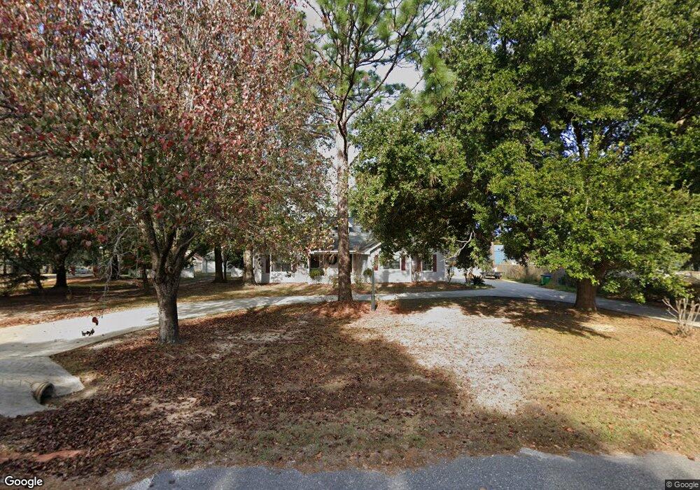
4120 Aba Dr Saraland, AL 36571
Outer Saraland NeighborhoodEstimated Value: $289,000 - $349,000
3
Beds
3
Baths
2,184
Sq Ft
$148/Sq Ft
Est. Value
About This Home
This home is located at 4120 Aba Dr, Saraland, AL 36571 and is currently estimated at $324,155, approximately $148 per square foot. 4120 Aba Dr is a home located in Mobile County with nearby schools including Saraland Elementary School, Nelson Leon Adams Middle School/Saraland Middle School, and Saraland High School.
Ownership History
Date
Name
Owned For
Owner Type
Purchase Details
Closed on
Apr 20, 1998
Sold by
West Tradis D and West Pamela K
Bought by
Labo David E and Labo Shauna L
Current Estimated Value
Home Financials for this Owner
Home Financials are based on the most recent Mortgage that was taken out on this home.
Original Mortgage
$63,270
Interest Rate
7.09%
Create a Home Valuation Report for This Property
The Home Valuation Report is an in-depth analysis detailing your home's value as well as a comparison with similar homes in the area
Home Values in the Area
Average Home Value in this Area
Purchase History
| Date | Buyer | Sale Price | Title Company |
|---|---|---|---|
| Labo David E | $128,900 | -- |
Source: Public Records
Mortgage History
| Date | Status | Borrower | Loan Amount |
|---|---|---|---|
| Closed | Labo David E | $63,270 |
Source: Public Records
Tax History Compared to Growth
Tax History
| Year | Tax Paid | Tax Assessment Tax Assessment Total Assessment is a certain percentage of the fair market value that is determined by local assessors to be the total taxable value of land and additions on the property. | Land | Improvement |
|---|---|---|---|---|
| 2024 | $1,442 | $25,190 | $3,200 | $21,990 |
| 2023 | $1,432 | $20,340 | $3,520 | $16,820 |
| 2022 | $1,065 | $19,020 | $3,200 | $15,820 |
| 2021 | $928 | $16,720 | $3,400 | $13,320 |
| 2020 | $953 | $17,120 | $3,400 | $13,720 |
| 2019 | $940 | $16,920 | $3,400 | $13,520 |
| 2018 | $949 | $17,080 | $0 | $0 |
| 2017 | $978 | $17,560 | $0 | $0 |
| 2016 | $983 | $17,640 | $0 | $0 |
| 2013 | $784 | $16,220 | $0 | $0 |
Source: Public Records
Map
Nearby Homes
- 7012 Kali Oka Rd
- 11301 Kali Oka Rd
- 0 Lafitte Rd Unit 7142258
- 6799 T M Brett Blvd
- 4571 Spruce Ave
- 7420 Pake Rd
- 7366 Fir Dr
- 0 T M Brett Blvd Unit 7568133
- 6776 T M Brett Blvd Unit 31
- 6786 T M Brett Blvd Unit 14
- 6778 T M Brett Blvd Unit 30
- 6798 T M Brett Blvd Unit 2
- 6796 T M Brett Blvd Unit 3
- 7135 Cedar Dr Unit 1B
- 3699 Rosewood Ln Unit 12
- 3687 Rosewood Ln Unit 11
- 3710 Rosewood Ln Unit 5
- 3705 Rosewood Ln Unit 13
- 4567 Pine Ave
- 3705 Wisteria Ln Unit 28