4120 Marks Ave Rootstown, OH 44272
Estimated Value: $192,711 - $229,000
3
Beds
1
Bath
988
Sq Ft
$210/Sq Ft
Est. Value
About This Home
This home is located at 4120 Marks Ave, Rootstown, OH 44272 and is currently estimated at $207,428, approximately $209 per square foot. 4120 Marks Ave is a home located in Portage County with nearby schools including Rootstown Middle School - Schnee Building and Rootstown High School.
Ownership History
Date
Name
Owned For
Owner Type
Purchase Details
Closed on
Aug 10, 2018
Sold by
Horning Scott B and Horning Denise E
Bought by
Bilodeau Anene
Current Estimated Value
Home Financials for this Owner
Home Financials are based on the most recent Mortgage that was taken out on this home.
Original Mortgage
$104,000
Outstanding Balance
$90,320
Interest Rate
4.5%
Mortgage Type
New Conventional
Estimated Equity
$117,108
Purchase Details
Closed on
Nov 19, 2012
Sold by
Horning Scott B and Horning Denise E
Bought by
Horning Scott B and Horning Denise E
Purchase Details
Closed on
May 9, 2012
Sold by
Slocum Gary and Slocum Karen
Bought by
Horning Scott B and Horning Denise E
Purchase Details
Closed on
Jul 8, 1992
Bought by
Collier Emily H and Collier Kim E
Create a Home Valuation Report for This Property
The Home Valuation Report is an in-depth analysis detailing your home's value as well as a comparison with similar homes in the area
Purchase History
| Date | Buyer | Sale Price | Title Company |
|---|---|---|---|
| Bilodeau Anene | $149,500 | Ohio Real Title | |
| Horning Scott B | -- | None Available | |
| Horning Scott B | $68,000 | Attorney | |
| Collier Emily H | -- | -- |
Source: Public Records
Mortgage History
| Date | Status | Borrower | Loan Amount |
|---|---|---|---|
| Open | Bilodeau Anene | $104,000 |
Source: Public Records
Tax History
| Year | Tax Paid | Tax Assessment Tax Assessment Total Assessment is a certain percentage of the fair market value that is determined by local assessors to be the total taxable value of land and additions on the property. | Land | Improvement |
|---|---|---|---|---|
| 2024 | $2,195 | $51,940 | $8,610 | $43,330 |
| 2023 | $1,864 | $41,030 | $7,530 | $33,500 |
| 2022 | $1,838 | $41,030 | $7,530 | $33,500 |
| 2021 | $1,833 | $41,030 | $7,530 | $33,500 |
| 2020 | $1,652 | $35,570 | $7,180 | $28,390 |
| 2019 | $1,748 | $35,570 | $7,180 | $28,390 |
| 2018 | $1,683 | $33,430 | $10,260 | $23,170 |
| 2017 | $1,683 | $33,430 | $10,260 | $23,170 |
| 2016 | $1,650 | $33,430 | $10,260 | $23,170 |
| 2015 | $1,668 | $33,430 | $10,260 | $23,170 |
| 2014 | $1,699 | $33,430 | $10,260 | $23,170 |
| 2013 | $1,688 | $33,430 | $10,260 | $23,170 |
Source: Public Records
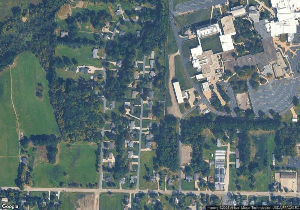
Map
Nearby Homes
- V/L 2 Lynn Rd
- V/L Lynn Rd
- 0 Lynn Rd Unit 5110102
- 3689 Cherry Hill
- 4415 Farmette Dr
- sub lot Lane Ave
- 4691 Scenic Dr
- 0 New Milford Rd Unit 11489599
- 0 New Milford Rd Unit 5108183
- 4225 Hattrick Rd
- 4140 Sandy Lake Rd
- 3637 Old Forge Rd
- 4058 Bayberry Knoll Ln
- 3136 Bird Dr
- 3021 Hartville Rd
- 3925 Summit Rd
- 694 Summit Rd
- 5403 Winding Creek Dr
- 1042 Canterbury Way Dr
- 668 Westbrook Ct