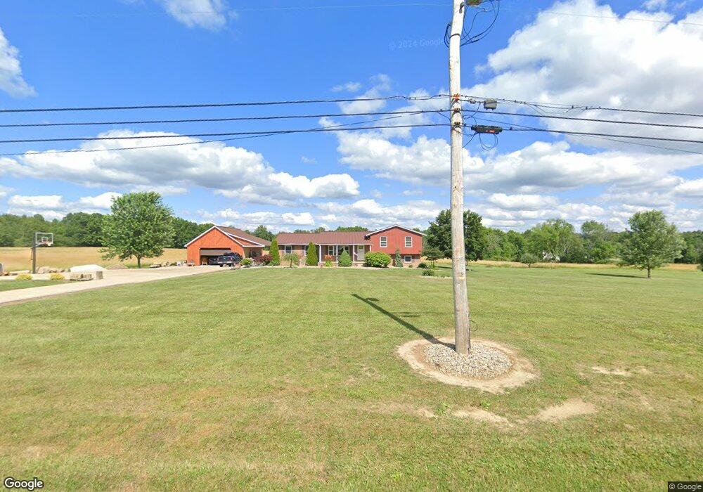
4120 Porter Rd Rootstown, OH 44272
Estimated Value: $300,000 - $330,000
About This Home
This home is located at 4120 Porter Rd, Rootstown, OH 44272 and is currently estimated at $317,117, approximately $200 per square foot. 4120 Porter Rd is a home located in Portage County with nearby schools including Southeast High School.
Ownership History
We collect this data history from publicly available records. To have your information removed, we recommend requesting removal directly through your county’s website.
Purchase Details
Purchase Details
Home Financials for this Owner
Home Financials are based on the most recent Mortgage that was taken out on this home.Purchase Details
Home Financials for this Owner
Home Financials are based on the most recent Mortgage that was taken out on this home.Purchase Details
Purchase History
We collect this data history from publicly available records. To have your information removed, we recommend requesting removal directly through your county’s website.
| Date | Buyer | Sale Price | Title Company |
|---|---|---|---|
| -- | -- | ||
| $126,500 | American Land Title | ||
| $120,000 | None Available | ||
| $147,000 | None Available |
Mortgage History
We collect this data history from publicly available records. To have your information removed, we recommend requesting removal directly through your county’s website.
| Date | Status | Borrower | Loan Amount |
|---|---|---|---|
| Open | $123,292 | ||
| Closed | $120,000 |
Tax History
We collect this data history from publicly available records. To have your information removed, we recommend requesting removal directly through your county’s website.
| Year | Tax Paid | Tax Assessment Tax Assessment Total Assessment is a certain percentage of the fair market value that is determined by local assessors to be the total taxable value of land and additions on the property. | Land | Improvement |
|---|---|---|---|---|
| 2025 | $3,169 | $95,550 | $18,550 | $77,000 |
| 2024 | $3,107 | $95,550 | $18,550 | $77,000 |
| 2023 | $2,378 | $67,870 | $16,030 | $51,840 |
| 2022 | $2,484 | $67,870 | $16,030 | $51,840 |
| 2021 | $2,505 | $67,870 | $16,030 | $51,840 |
| 2020 | $2,211 | $58,870 | $14,560 | $44,310 |
| 2019 | $2,216 | $58,870 | $14,560 | $44,310 |
| 2018 | $2,319 | $49,490 | $14,140 | $35,350 |
| 2017 | $2,319 | $49,490 | $14,140 | $35,350 |
| 2016 | $2,311 | $49,490 | $14,140 | $35,350 |
| 2015 | $2,212 | $49,490 | $14,140 | $35,350 |
| 2014 | $2,174 | $47,500 | $14,140 | $33,360 |
| 2013 | $2,118 | $47,500 | $14,140 | $33,360 |
Map
- 3985 Porter Rd
- 3545 Porter Rd
- 4039 Ohio 14
- 3798 State Route 183
- 8464 & 8446 Tallmadge Rd
- 8492 & 8476 Tallmadge Rd
- 8466 Whipporwill Rd
- 6915 Clark Rd
- 0 Wayland Rd Unit 5191883
- 8965 Corbett Rd
- 2443 Alliance Rd
- 0 Ohio 225 Unit 5174573
- 2591 Wayland Rd
- 9669 Tallmadge Rd
- 2316 Deerfield Dr
- 2163 Parkway Dr
- 9865 Tallmadge Rd
- 6541 Newton Falls Rd
- 9800 Williams Rd
- 6476 Linda Ln
- 4121 Porter Rd
- 4151 Porter Rd
- 7489 Tallmadge Rd Parcel 1
- 4075 Porter Rd
- 4179 Porter Rd
- 4099 Porter Rd
- 4199 Porter Rd
- 4251 Porter Rd
- 7502 Tallmadge Rd
- 7468 Tallmadge Rd
- 7565 Tallmadge Rd
- 4213 Porter Rd
- 7409 Tallmadge Rd
- 4300 Porter Rd
- 4324 Porter Rd
- 4348 Porter Rd
- 7436 Tallmadge Rd
- 7577 Tallmadge Rd
- 6 Porter Rd
- 4 Porter Rd
Ask me questions while you tour the home.