Estimated Value: $27,414 - $90,000
2
Beds
--
Bath
773
Sq Ft
$80/Sq Ft
Est. Value
About This Home
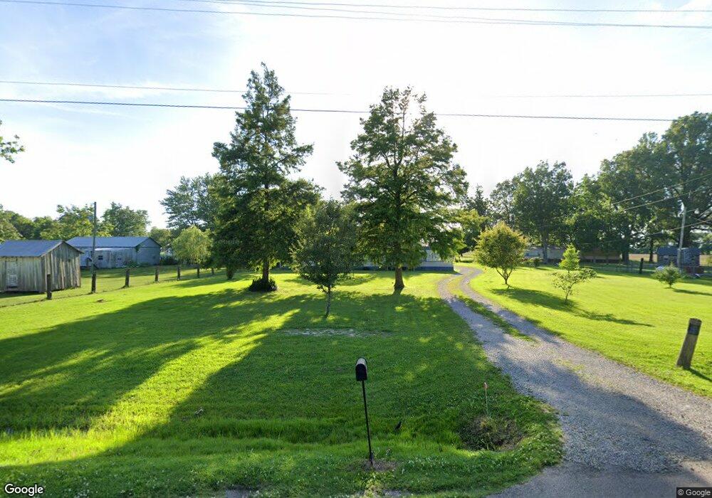
This home is located at 4120 State Highway B, Hayti, MO 63851 and is currently estimated at $62,104, approximately $80 per square foot. 4120 State Highway B is a home with nearby schools including Mathis Elementary School, Wallace Elementary School, and Hayti High School.
Ownership History
Date
Name
Owned For
Owner Type
Purchase Details
Closed on
Jan 26, 2017
Sold by
Glass Danny and Glass Carol
Bought by
Moss Claude
Current Estimated Value
Purchase Details
Closed on
Nov 24, 2015
Sold by
Hill Hollis and Hill Tina
Bought by
Moss Claude and Moss Sharon
Purchase Details
Closed on
Jun 22, 2011
Sold by
Hill Chad Edward and Hill Donna Nicole
Bought by
Hill Hollis and Hill Tina
Home Financials for this Owner
Home Financials are based on the most recent Mortgage that was taken out on this home.
Original Mortgage
$10,484
Interest Rate
4.66%
Mortgage Type
Purchase Money Mortgage
Create a Home Valuation Report for This Property
The Home Valuation Report is an in-depth analysis detailing your home's value as well as a comparison with similar homes in the area
Purchase History
| Date | Buyer | Sale Price | Title Company |
|---|---|---|---|
| Moss Claude | -- | None Available | |
| Moss Claude | -- | None Available | |
| Hill Hollis | -- | -- |
Source: Public Records
Mortgage History
| Date | Status | Borrower | Loan Amount |
|---|---|---|---|
| Previous Owner | Hill Hollis | $10,484 |
Source: Public Records
Tax History
| Year | Tax Paid | Tax Assessment Tax Assessment Total Assessment is a certain percentage of the fair market value that is determined by local assessors to be the total taxable value of land and additions on the property. | Land | Improvement |
|---|---|---|---|---|
| 2025 | $119 | $1,860 | $0 | $0 |
| 2024 | $1 | $1,790 | $0 | $0 |
| 2023 | $117 | $1,790 | $0 | $0 |
| 2022 | $105 | $1,560 | $0 | $0 |
| 2020 | $104 | $1,560 | $0 | $0 |
| 2019 | $102 | $1,560 | $0 | $0 |
| 2018 | $102 | $1,560 | $0 | $0 |
| 2017 | $104 | $1,560 | $0 | $0 |
| 2016 | -- | $1,560 | $0 | $0 |
| 2015 | -- | $1,560 | $0 | $0 |
| 2013 | -- | $1,560 | $0 | $0 |
Source: Public Records
Map
Nearby Homes
- 110 E Main St
- 0 W Washington St
- 200 E Grant St
- 000000 First Martin Luther King Dr
- 301 E Jackson St
- 600 E Reed St
- 203 E Plum St
- 0 Highway 412
- 0 County Road 406
- 0 County Road 263 Unit MIS25048822
- 835 Missouri 84
- 1110 Collins Ave
- 939 Grand Ave
- 1202 Grand Ave
- 933 Beckwith Ave
- 407 W 8th St
- 406 W 4th St
- 906 W 19th St
- 700 Carleton Ave
- 305 E 6th St
- 204 S 1st St
- 101 W Lincoln St
- 202 S 1st St
- 63 County Highway 415
- 200 S 1st St
- 105 W Lincoln St
- 107 W Lincoln St
- 103 W Main St
- 108 W Main St
- 102 W Lincoln St
- 106 E Main St
- 106 W Lincoln St
- 104 W Lincoln St
- 105 W Main St
- 111 W Lincoln St
- 104 E Lincoln St
- 110 W Main St
- 109 W Main St
- 106 E Lincoln St
- 201 S 2nd St
Your Personal Tour Guide
Ask me questions while you tour the home.