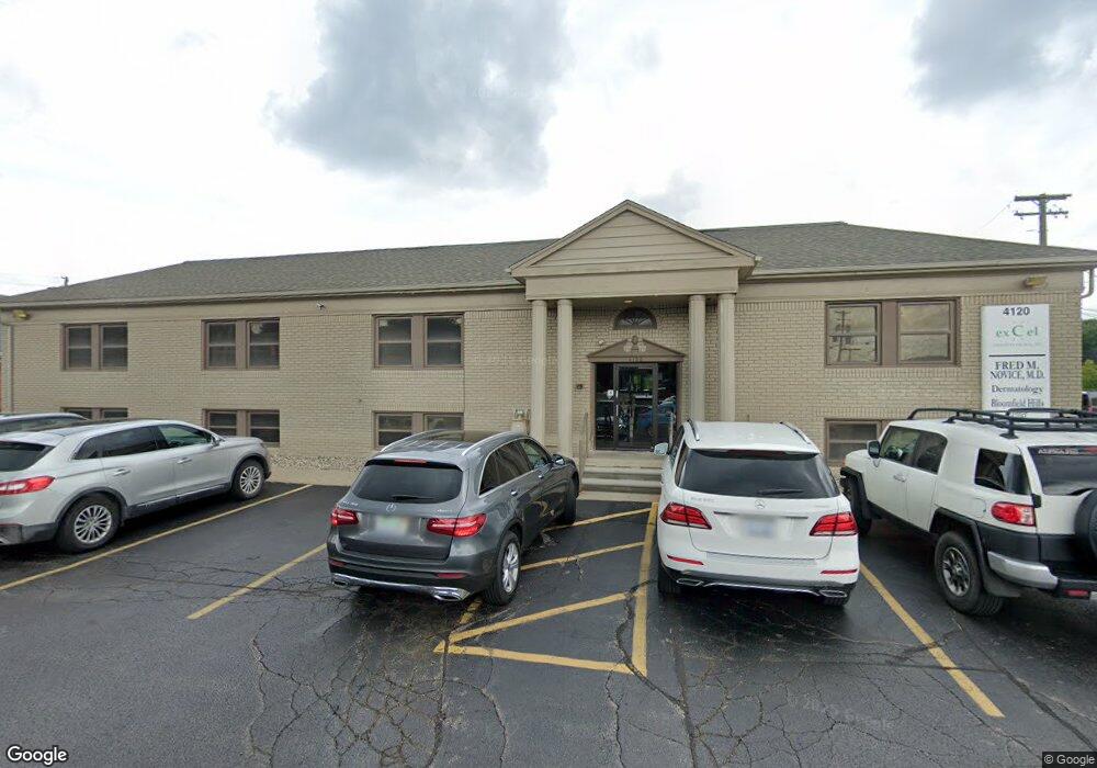
4120 W Maple Rd Bloomfield Hills, MI 48301
Estimated Value: $1,816,681
--
Bed
--
Bath
5,000
Sq Ft
$363/Sq Ft
Est. Value
About This Home
This home is located at 4120 W Maple Rd, Bloomfield Hills, MI 48301 and is currently estimated at $1,816,681, approximately $363 per square foot. 4120 W Maple Rd is a home located in Oakland County with nearby schools including Conant Elementary School, South Hills Middle School, and Bloomfield Hills High School.
Ownership History
Date
Name
Owned For
Owner Type
Purchase Details
Closed on
May 12, 2021
Sold by
B P Of White Lake Inc
Bought by
4120 Maple Inc
Current Estimated Value
Purchase Details
Closed on
Aug 24, 2015
Sold by
Mek Maple Road Llc
Bought by
B P Of White Lake Inc
Purchase Details
Closed on
Dec 26, 2000
Sold by
Davidson Helene
Bought by
Mek Maple Road
Create a Home Valuation Report for This Property
The Home Valuation Report is an in-depth analysis detailing your home's value as well as a comparison with similar homes in the area
Home Values in the Area
Average Home Value in this Area
Purchase History
| Date | Buyer | Sale Price | Title Company |
|---|---|---|---|
| 4120 Maple Inc | -- | None Available | |
| B P Of White Lake Inc | $1,000,000 | Title Connect Llc | |
| Mek Maple Road | -- | -- |
Source: Public Records
Tax History Compared to Growth
Tax History
| Year | Tax Paid | Tax Assessment Tax Assessment Total Assessment is a certain percentage of the fair market value that is determined by local assessors to be the total taxable value of land and additions on the property. | Land | Improvement |
|---|---|---|---|---|
| 2024 | $12,240 | $490,250 | $0 | $0 |
| 2023 | $11,673 | $468,370 | $0 | $0 |
| 2022 | $21,875 | $438,590 | $0 | $0 |
| 2021 | $22,073 | $523,970 | $0 | $0 |
| 2020 | $10,662 | $508,590 | $0 | $0 |
| 2019 | $20,717 | $496,220 | $0 | $0 |
| 2018 | $20,311 | $446,430 | $0 | $0 |
| 2015 | -- | $395,610 | $0 | $0 |
| 2014 | -- | $395,610 | $0 | $0 |
| 2011 | -- | $457,510 | $0 | $0 |
Source: Public Records
Map
Nearby Homes
- 750 Trailwood Path Unit B
- 450 Billingsgate Ct Unit C
- 1760 Trailwood Path
- 6660 Woodbank Dr
- 6572 Spruce Dr
- 6386 Thorncrest Dr
- 6360 Hills Dr
- 6952 Sandalwood Dr
- 6450 Gilbert Lake Rd
- 6750 Wing Lake Rd
- 4017 Hidden Woods Dr
- 7005 Cathedral Dr
- 5904 Wing Lake Rd
- 6940 Wing Lake Rd
- 4456 W Maple Rd
- 7200 Telegraph Rd
- 5630 S Adams Way
- 6701 Franklin Rd
- 7100 Wing Lake Rd
- 3880 Oakland Dr
- 200 Billingsgate Ct
- 300 Billingsgate Ct
- 400 Billingsgate Ct Unit 19
- 400 Billingsgate Ct
- 6510 Woodbank Dr
- 6533 Woodbank Dr
- 500 Billingsgate Ct
- 6395 E Surrey Rd
- 850 Trailwood Path Unit D
- 750 Trailwood Path Unit 39
- 850 Trailwood Path Unit 44
- 1750 Trailwood Path Unit 97
- 1750 Trailwood Path Unit 84
- 850 Trailwood Path Unit 45B
- 350 Billingsgate Ct Unit 15/D
- 1650 Trailwood Path Unit 91
- 350 Billingsgate Ct Unit 14/A
- 1760 Trailwood Path Unit 98
- 1450 Trailwood Path Unit C
- 1050 Trailwood Path Unit D