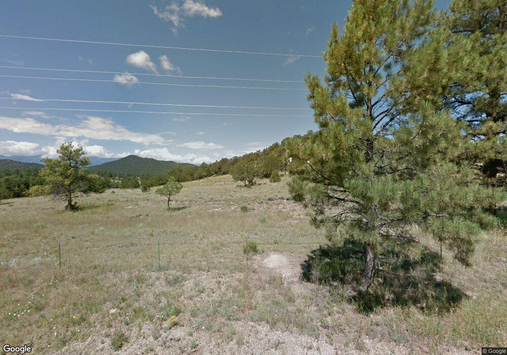
4121 County Road 255 Westcliffe, CO 81252
Estimated Value: $751,014 - $1,051,000
2
Beds
2
Baths
2,160
Sq Ft
$394/Sq Ft
Est. Value
About This Home
This home is located at 4121 County Road 255, Westcliffe, CO 81252 and is currently estimated at $851,504, approximately $394 per square foot. 4121 County Road 255 is a home located in Custer County with nearby schools including Custer County Elementary School, Custer Middle School, and Custer County High School.
Ownership History
Date
Name
Owned For
Owner Type
Purchase Details
Closed on
Jul 17, 2020
Sold by
William F And Gretchen L Camp Trust
Bought by
Karl Douglas A and Karl Debra A
Current Estimated Value
Purchase Details
Closed on
Dec 19, 2007
Sold by
Camp William F and Camp Gretchen L
Bought by
Camp William F and Camp Gretchen L
Purchase Details
Closed on
Sep 26, 2000
Sold by
Mcdonald Edward L and Mcdonald Donna Rae
Bought by
Camp William F and Camp Gretchen L
Purchase Details
Closed on
May 21, 1992
Sold by
Bull Domingo Ranch
Bought by
Mcdonald Edward
Create a Home Valuation Report for This Property
The Home Valuation Report is an in-depth analysis detailing your home's value as well as a comparison with similar homes in the area
Home Values in the Area
Average Home Value in this Area
Purchase History
| Date | Buyer | Sale Price | Title Company |
|---|---|---|---|
| Karl Douglas A | -- | None Available | |
| Karl Douglas A | $537,000 | None Available | |
| Camp William F | -- | -- | |
| Camp William F | $82,900 | -- | |
| Mcdonald Edward | $44,000 | -- |
Source: Public Records
Tax History Compared to Growth
Tax History
| Year | Tax Paid | Tax Assessment Tax Assessment Total Assessment is a certain percentage of the fair market value that is determined by local assessors to be the total taxable value of land and additions on the property. | Land | Improvement |
|---|---|---|---|---|
| 2024 | $2,622 | $45,300 | $0 | $0 |
| 2023 | $2,622 | $45,300 | $0 | $0 |
| 2022 | $1,876 | $28,760 | $1,270 | $27,490 |
| 2021 | $1,901 | $28,760 | $1,270 | $27,490 |
| 2020 | $1,662 | $25,460 | $1,270 | $24,190 |
| 2019 | $1,653 | $25,460 | $1,270 | $24,190 |
| 2018 | $1,420 | $21,730 | $860 | $20,870 |
| 2017 | $1,376 | $21,626 | $754 | $20,872 |
| 2016 | $1,428 | $23,470 | $930 | $22,540 |
| 2015 | -- | $293,638 | $10,435 | $283,203 |
| 2012 | $1,386 | $289,927 | $378 | $289,549 |
Source: Public Records
Map
Nearby Homes
- 4121 Cty Rd 255
- 510 Jake Rd
- 4012 County Road 255
- 400 Jake Rd
- 67 Knolltop Cir
- 67 Knoll Top Cir
- 48 Knolltop Cir
- 225 Chinook Cir
- 380 Jake Rd
- 250 Knolltop Cir
- 220 Jake Rd
- 366 Knoll Top Cir
- 202 Cr 254
- 700 Sandia Cir
- 155 Knolltop Cir
- 4934 County Road 255
- 525 Jake Rd
- 505 Sandia Cir
- 0 Cr 255 Unit C234408
- 0 Cr 255 Unit 29003
