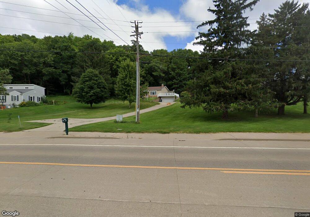
4121 State Rd La Crosse, WI 54601
Estimated Value: $287,101 - $357,000
--
Bed
--
Bath
--
Sq Ft
1.04
Acres
About This Home
This home is located at 4121 State Rd, La Crosse, WI 54601 and is currently estimated at $306,525. 4121 State Rd is a home located in La Crosse County with nearby schools including State Road Elementary School, Lincoln Middle School, and Central High School.
Ownership History
Date
Name
Owned For
Owner Type
Purchase Details
Closed on
Dec 17, 2024
Sold by
Snodgrass James M
Bought by
Mathy William S and Mathy Amy E
Current Estimated Value
Purchase Details
Closed on
Oct 6, 2023
Sold by
Snodgrass Ruth E
Bought by
Snodgrass James M
Purchase Details
Closed on
Aug 10, 2023
Sold by
Snodgrass Ruth E
Bought by
Snodgrass James M
Purchase Details
Closed on
Nov 2, 2015
Sold by
Snodgrass Ruth E
Bought by
Snodgrass James M
Create a Home Valuation Report for This Property
The Home Valuation Report is an in-depth analysis detailing your home's value as well as a comparison with similar homes in the area
Home Values in the Area
Average Home Value in this Area
Purchase History
| Date | Buyer | Sale Price | Title Company |
|---|---|---|---|
| Mathy William S | $50,000 | River Valley Title Group | |
| Snodgrass James M | -- | None Listed On Document | |
| Snodgrass James M | -- | None Listed On Document | |
| Snodgrass James M | -- | -- |
Source: Public Records
Tax History Compared to Growth
Tax History
| Year | Tax Paid | Tax Assessment Tax Assessment Total Assessment is a certain percentage of the fair market value that is determined by local assessors to be the total taxable value of land and additions on the property. | Land | Improvement |
|---|---|---|---|---|
| 2024 | $3,128 | $254,100 | $60,400 | $193,700 |
| 2023 | $2,798 | $145,800 | $36,100 | $109,700 |
| 2022 | $2,703 | $145,800 | $36,100 | $109,700 |
| 2021 | $2,736 | $145,800 | $36,100 | $109,700 |
| 2020 | $2,743 | $145,800 | $36,100 | $109,700 |
| 2019 | $2,706 | $145,800 | $36,100 | $109,700 |
| 2018 | $2,653 | $145,800 | $36,100 | $109,700 |
| 2017 | $2,656 | $145,800 | $36,100 | $109,700 |
| 2016 | $2,830 | $145,800 | $36,100 | $109,700 |
| 2015 | $2,729 | $145,800 | $36,100 | $109,700 |
| 2014 | $2,785 | $145,800 | $36,100 | $109,700 |
| 2013 | $2,657 | $128,800 | $30,000 | $98,800 |
Source: Public Records
Map
Nearby Homes
- 3421 Greenbriar Ct
- 3121 Glendale Ave
- 3055 State Rd
- 1965 28th St S
- 3100 Lincoln Ave
- W4844 State Road 33
- 2802 31st St S
- 2011 Strong Ave
- N2194 Valley Rd
- 2851 29th Ct S
- 3026 33rd St S
- 2114 Losey Blvd S
- 3324 Greenspire Ln
- 2329 23rd St S
- W5522 Eagle Point Dr
- 2602 Diagonal Rd
- 3128 29th Ct S
- 2225 Denton St
- 3010 27th St S
- 2150 21st Terrace S
- 4109 State Rd
- 4131 State Rd
- 4132 State Rd
- 4110 State Rd
- W5918 Valley Pkwy
- 4144 State Rd
- W5917 Apple Orchard Ln
- 4097 State Rd
- N1933 Orchard Valley Dr
- 2211 Hiawatha Ave
- W5912 Valley Pkwy
- W5911 Apple Orchard Ln
- 4091 Starlite Dr
- 4168 State Rd
- 2219 Hiawatha Ave
- W5903 Apple Orchard Ln
- W5906 Valley Pkwy
- 4081 Starlite Dr
- W5902 Apple Orchard Ln
- 4180 State Rd