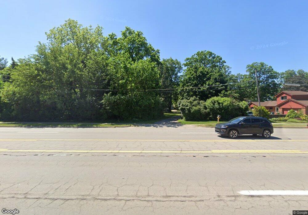
41215 Ann Arbor Rd E Unit Bldg-Unit Plymouth, MI 48170
Estimated Value: $472,000 - $712,361
--
Bed
4
Baths
3,844
Sq Ft
$157/Sq Ft
Est. Value
About This Home
This home is located at 41215 Ann Arbor Rd E Unit Bldg-Unit, Plymouth, MI 48170 and is currently estimated at $602,840, approximately $156 per square foot. 41215 Ann Arbor Rd E Unit Bldg-Unit is a home located in Wayne County with nearby schools including Canton High School, Farrand Elementary School, and East Middle School.
Ownership History
Date
Name
Owned For
Owner Type
Purchase Details
Closed on
Feb 27, 2019
Sold by
Ruda Anthony C and Ruda Ann Marie
Bought by
Belden Jeffrey A and Belden Jeffery A
Current Estimated Value
Home Financials for this Owner
Home Financials are based on the most recent Mortgage that was taken out on this home.
Original Mortgage
$367,229
Outstanding Balance
$322,857
Interest Rate
4.4%
Mortgage Type
VA
Estimated Equity
$279,983
Purchase Details
Closed on
Jun 24, 2015
Sold by
Martindale David Lee and Stanton Ronald Ross
Bought by
Ruda Anthony C and Ruda Ann Marie
Create a Home Valuation Report for This Property
The Home Valuation Report is an in-depth analysis detailing your home's value as well as a comparison with similar homes in the area
Home Values in the Area
Average Home Value in this Area
Purchase History
| Date | Buyer | Sale Price | Title Company |
|---|---|---|---|
| Belden Jeffrey A | $359,500 | Chirco Title Agency Inc | |
| Ruda Anthony C | $365,000 | Title One Inc |
Source: Public Records
Mortgage History
| Date | Status | Borrower | Loan Amount |
|---|---|---|---|
| Open | Belden Jeffrey A | $367,229 |
Source: Public Records
Tax History Compared to Growth
Tax History
| Year | Tax Paid | Tax Assessment Tax Assessment Total Assessment is a certain percentage of the fair market value that is determined by local assessors to be the total taxable value of land and additions on the property. | Land | Improvement |
|---|---|---|---|---|
| 2025 | $4,838 | $283,000 | $0 | $0 |
| 2024 | $4,838 | $255,400 | $0 | $0 |
| 2023 | $4,609 | $195,800 | $0 | $0 |
| 2022 | $6,374 | $193,900 | $0 | $0 |
| 2021 | $6,255 | $189,800 | $0 | $0 |
| 2019 | $4,961 | $191,450 | $0 | $0 |
| 2018 | $3,393 | $166,760 | $0 | $0 |
| 2017 | $2,372 | $41,800 | $0 | $0 |
| 2016 | $4,440 | $140,700 | $0 | $0 |
| 2015 | $8,263 | $141,800 | $0 | $0 |
| 2013 | $8,005 | $130,030 | $0 | $0 |
| 2012 | -- | $119,200 | $38,550 | $80,650 |
Source: Public Records
Map
Nearby Homes
- 45871 Spruce
- 9840 Firwood Dr
- 10080 Barrett
- 10310 Barrett
- 10420 Barrett St
- 10640 Barrett
- 41663 Boreal
- 41675 Boreal
- 40699 Newport Dr Unit 256
- Sanders Plan at The Towns at Plymouth Walk
- Howe Elite Plan at The Towns at Plymouth Walk
- Howe Plan at The Towns at Plymouth Walk
- Sanders Elite Plan at The Towns at Plymouth Walk
- 40554 Newport Dr
- 40643 Newport Dr Unit 273
- 40105 Newport Dr Unit 358
- 40584 Newport Ct
- 40504 Newport Dr
- 40526 Newport Dr Unit 99
- 40522 Newport Dr
- 41215 Ann Arbor Rd E
- 9456 Southworth Ave
- 9438 Southworth Ave
- 41218 Marlin St
- 41141 Ann Arbor Rd E Unit Bldg-Unit
- 41141 Ann Arbor Rd E
- 41202 Marlin St
- 9476 Southworth Ave
- 41152 Marlin St
- 9447 Marilyn Ave
- 9429 Marilyn Ave
- 9492 Southworth Ave
- 9467 Marilyn Ave
- 9411 Marilyn Ave
- 9459 Southworth Ave
- 9441 Southworth Ave
- 9477 Southworth Ave
- 9485 Marilyn Ave
- 41217 Marlin St
- 9350 Southworth Ave
