4122 Anson Trail Unit 1 Suwanee, GA 30024
Estimated Value: $512,000 - $602,000
3
Beds
3
Baths
2,296
Sq Ft
$237/Sq Ft
Est. Value
About This Home
This home is located at 4122 Anson Trail Unit 1, Suwanee, GA 30024 and is currently estimated at $544,511, approximately $237 per square foot. 4122 Anson Trail Unit 1 is a home located in Gwinnett County with nearby schools including Roberts Elementary School, North Gwinnett Middle School, and North Gwinnett High School.
Ownership History
Date
Name
Owned For
Owner Type
Purchase Details
Closed on
Aug 23, 2005
Sold by
Richport Properties Inc
Bought by
Martinez Melissa A
Current Estimated Value
Home Financials for this Owner
Home Financials are based on the most recent Mortgage that was taken out on this home.
Original Mortgage
$45,450
Interest Rate
5.71%
Mortgage Type
New Conventional
Create a Home Valuation Report for This Property
The Home Valuation Report is an in-depth analysis detailing your home's value as well as a comparison with similar homes in the area
Home Values in the Area
Average Home Value in this Area
Purchase History
| Date | Buyer | Sale Price | Title Company |
|---|---|---|---|
| Martinez Melissa A | $227,500 | -- |
Source: Public Records
Mortgage History
| Date | Status | Borrower | Loan Amount |
|---|---|---|---|
| Closed | Martinez Melissa A | $45,450 | |
| Open | Martinez Melissa A | $181,950 |
Source: Public Records
Tax History Compared to Growth
Tax History
| Year | Tax Paid | Tax Assessment Tax Assessment Total Assessment is a certain percentage of the fair market value that is determined by local assessors to be the total taxable value of land and additions on the property. | Land | Improvement |
|---|---|---|---|---|
| 2025 | $5,261 | $221,600 | $38,000 | $183,600 |
| 2024 | $5,063 | $204,080 | $38,400 | $165,680 |
| 2023 | $5,063 | $204,080 | $38,400 | $165,680 |
| 2022 | $5,468 | $176,320 | $36,000 | $140,320 |
| 2021 | $4,552 | $137,800 | $25,880 | $111,920 |
| 2020 | $4,587 | $137,800 | $25,880 | $111,920 |
| 2019 | $3,616 | $124,680 | $22,680 | $102,000 |
| 2018 | $3,634 | $124,680 | $22,680 | $102,000 |
| 2016 | $3,217 | $105,480 | $28,000 | $77,480 |
| 2015 | $3,042 | $96,440 | $22,000 | $74,440 |
| 2014 | -- | $88,360 | $18,800 | $69,560 |
Source: Public Records
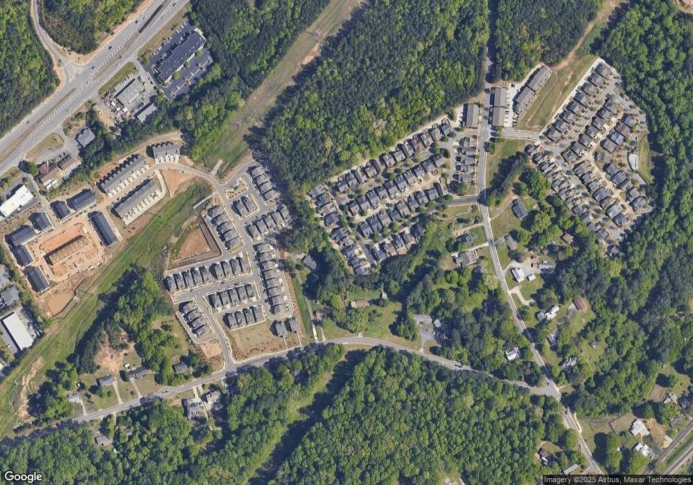
Map
Nearby Homes
- 645 Stonepark Ln
- 524 Cypher Dr
- 1350 Peachtree Industrial Blvd
- The Murray Plan at Old Town Suwanee
- The Telfair Plan at Old Town Suwanee
- 3880 Brushy Creek Way
- 0 Mary Lou St Unit 7445497
- 0 Mary Lou St Unit 10365827
- 780 Village Field Ct
- 837 Village Manor Place
- 671 Village Field Ct
- 4416 Village Field Place
- 733 Vinebrook Ln Unit 3
- 4422 Grove Field Park
- 3764 Sage Park Way
- 2459 Richmond Row Dr
- 655 Grove Manor Ct
- 4358 Grove Field Ct
- 3908 Charleston Market St
- 4112 Anson Trail
- 4132 Anson Trail Unit 1
- 0 Anson Trail Unit 7313669
- 0 Anson Trail Unit 7065655
- 4102 Anson Trail Unit 1
- 4142 Anson Trail
- 4092 Anson Trail
- 656 Pringle Dr
- 635 Stonepark Ln Unit 1
- 4152 Anson Trail
- 646 Pringle Dr Unit 1
- 630 Stone Park Ln
- 630 Stonepark Ln
- 625 Stonepark Ln
- 4162 Anson Trail
- 636 Pringle Dr
- 620 Stonepark Ln Unit 1
- 615 Stonepark Ln
- 657 Pringle Dr
- 4172 Anson Trail